
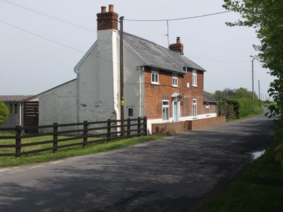
Almonds, building in Layer Marney, Colchester, Essex, UK
Emplacement : Layer Marney
Coordonnées GPS : 51.82883,0.79502
Dernière mise à jour : 6 mars 2025 à 04:15
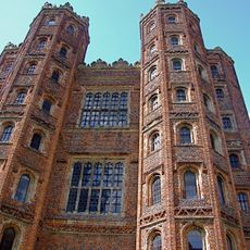
Layer Marney Tower
700 m
Zoo de Colchester
4.6 km
Abberton Reservoir
4.6 km
Copford Hall
4.6 km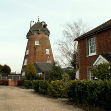
Messing Maypole Mill
3.6 km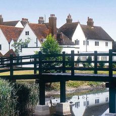
Prested Hall
4.6 km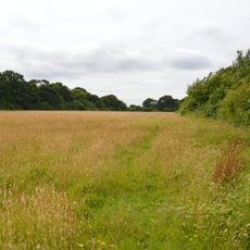
Oxley Meadow
3.3 km
Jam Museum
3.7 km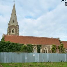
Church of St Peter and St Paul, Birch
2.4 km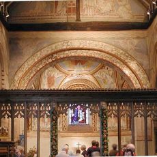
Church of St Michael and All Angels
4.6 km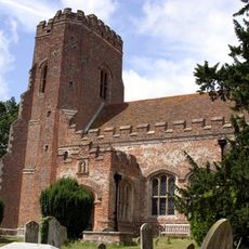
Church of St Mary the Virgin, Layer Marney
756 m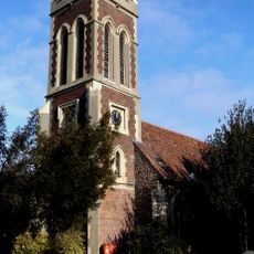
Church of All Saints (messing)
3.1 km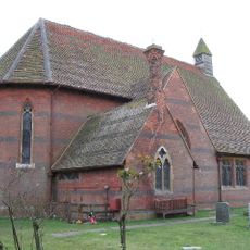
Church of St Luke
3.7 km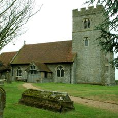
Church of St John the Baptist
3.9 km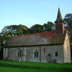
Church of St Mary
3.6 km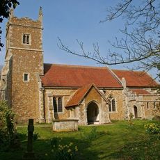
Church of St Stephen
4.8 km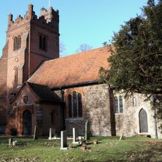
Parish Church of All Saints (inworth)
4.8 km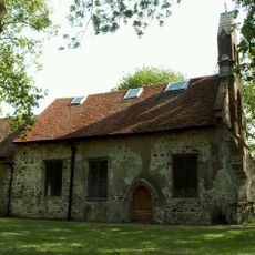
Church of All Saints
4.3 km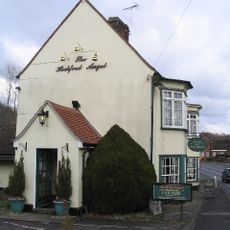
The Angel Public House
4.1 km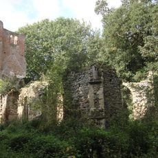
Church of St Mary (ruin) north of Birch Hall
3.5 km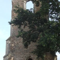
Church of All Saints
4.7 km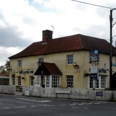
The Fox Public House
4.5 km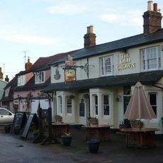
Olde Crown Inn
3 km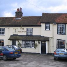
The Anchor Public House
4 km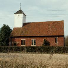
St Mary's Church
1.8 km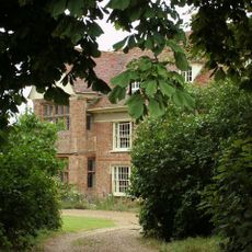
Dukes Farmhouse
379 m
Tiptree Museum
3.7 km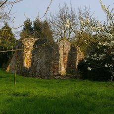
Remains of St Mary the Virgin's Church
4.9 kmVous avez visité ce lieu ? Touchez les étoiles pour le noter et partager votre expérience ou vos photos avec la communauté ! Essayez maintenant ! Vous pouvez annuler à tout moment.
Trouvez des trésors cachés à chaque coin de rue !
Des petits cafés pittoresques aux points de vue planqués, fuyez la foule et dénichez les lieux qui vous ressemblent vraiment. Notre app vous facilite la vie : recherche vocale, filtres malins, itinéraires optimisés et bons plans partagés par des voyageurs du monde entier. Téléchargez vite pour vivre l'aventure en version mobile !

Une approche inédite de la découverte touristique❞
— Le Figaro
Tous les lieux qui valent la peine d'être explorés❞
— France Info
Une excursion sur mesure en quelques clics❞
— 20 Minutes