
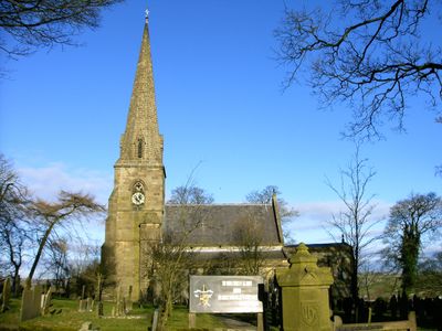
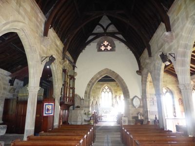
Church of All Saints, church building in Grindon, Staffordshire Moorlands, Staffordshire, UK
Emplacement : Grindon
Coordonnées GPS : 53.08793,-1.87388
Dernière mise à jour : 3 mars 2025 à 06:39
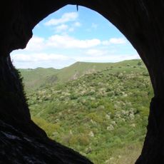
Thor's Cave
1.4 km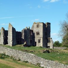
Throwley Old Hall
3.2 km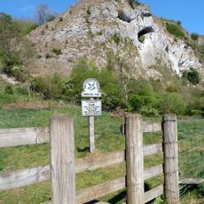
Beeston Tor
2 km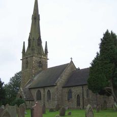
St Bartholomew's Church, Butterton
2.3 km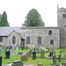
Church of St James and St Bartholomew
2.9 km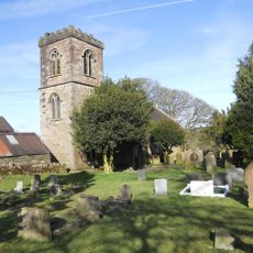
Church of St Luke
3.7 km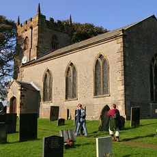
Church of St Margaret
2.5 km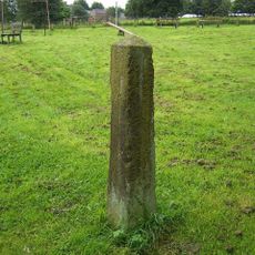
Obelisk and memorial approximately 50 yards south of Church of All Saints
71 m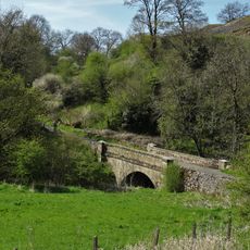
Dale Bridge
4 km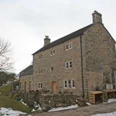
Pepper Inn
2.8 km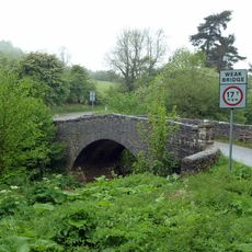
Weags Bridge
1.5 km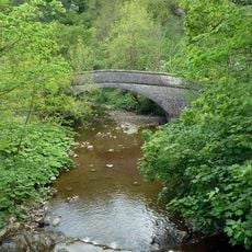
Darfar Bridge
1.6 km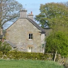
Cawbrook Farmhouse
417 m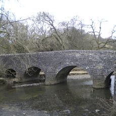
Wetton Bridge
1.8 km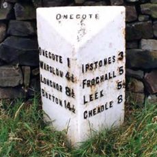
Milepost Approximately 1 1/4 Miles South Of Wetley Lane
4.1 km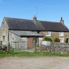
Grindley Croft
310 m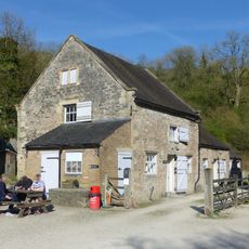
Stable Block And Granary East Of Wetton Mill House
1.9 km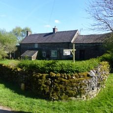
Dalefields and attached outbuildings
361 m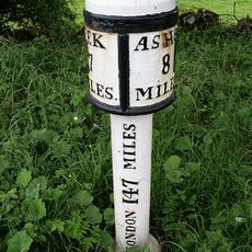
Milepost At Ngr Sk 07265065
4.1 km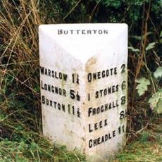
Milepost Approximately 200 Yards South West Of Brownlow Bridge
3.2 km
Stable block and granary approximately 20 yards south east of Wetton Mill House
1.9 km
School And Attached House
4 km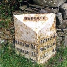
Milepost Approximately 30 Yards South Of Fold Farmhouse
3.5 km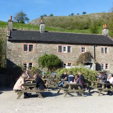
Wetton Mill House
1.9 km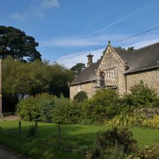
Ford Old Hall
2.1 km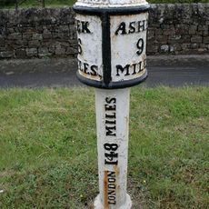
Milepost At Sk 059 514
4 km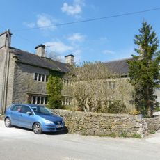
Manor House
2.5 km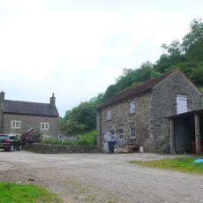
Dale Farmhouse
2 kmVous avez visité ce lieu ? Touchez les étoiles pour le noter et partager votre expérience ou vos photos avec la communauté ! Essayez maintenant ! Vous pouvez annuler à tout moment.
Trouvez des trésors cachés à chaque coin de rue !
Des petits cafés pittoresques aux points de vue planqués, fuyez la foule et dénichez les lieux qui vous ressemblent vraiment. Notre app vous facilite la vie : recherche vocale, filtres malins, itinéraires optimisés et bons plans partagés par des voyageurs du monde entier. Téléchargez vite pour vivre l'aventure en version mobile !

Une approche inédite de la découverte touristique❞
— Le Figaro
Tous les lieux qui valent la peine d'être explorés❞
— France Info
Une excursion sur mesure en quelques clics❞
— 20 Minutes