
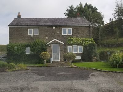
Higher Chapel Hill Farmhouse, farmhouse in Rossendale, Lancashire, UK
Emplacement : Rossendale
Coordonnées GPS : 53.71059,-2.27609
Dernière mise à jour : 16 mars 2025 à 14:03
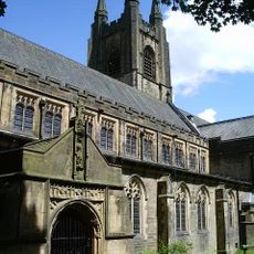
St John the Evangelist's Church, Crawshawbooth
1.6 km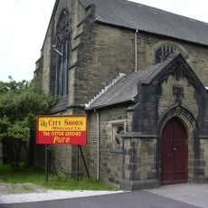
St John's Church, Rawtenstall
1.2 km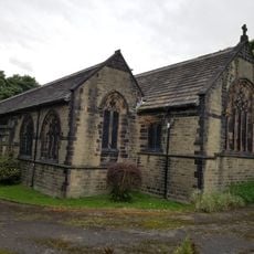
St Paul's Church, Constable Lee
825 m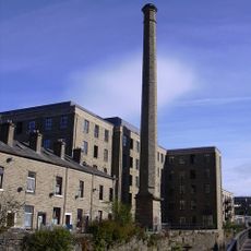
Ilex Mill
1.2 km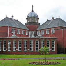
Rawtenstall Library
1.4 km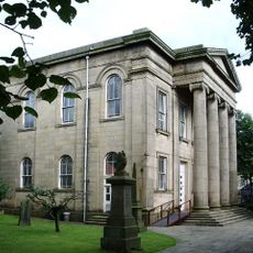
Longholme Methodist Church
1.3 km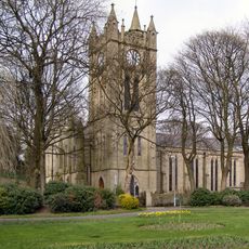
Church of St Mary
1.3 km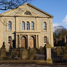
Former Rakefoot Methodist Church
1.6 km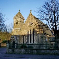
Roman Catholic Church of St James the Less
844 m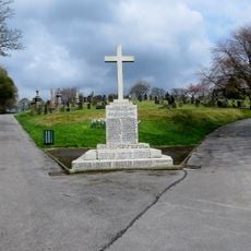
War Memorial in Rawtenstall Cemetery
791 m
Pavilion Cinema
1.4 km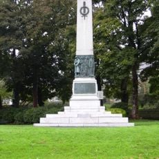
Rawtenstall Cenotaph
1.3 km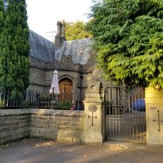
Staghills Lodge
2 km
Lower Constable Lee Farmhouse
785 m
1 and 3, Daisy Hill
999 m
Heightside
1.6 km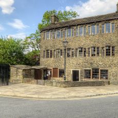
1, Bacup Road
1.1 km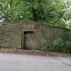
Friends' Burial Ground
177 m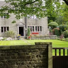
Waingate Farmhouse
533 m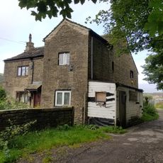
Nos 2 And 4 Higher Constable Lee
715 m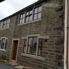
Hurst Farm And Hurst Cottage
613 m
Friends' Meeting House
1.7 km
Gate Piers To Crawshaw Hall
1.5 km
Lower Laund Mill
929 m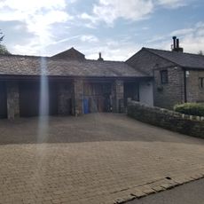
Lower Chapel Hill Farmhouse
326 m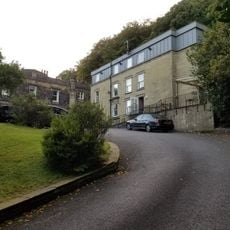
Crawshaw Hall
1.5 km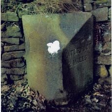
Milestone, Lumb, Burnley Road East
1.9 km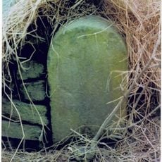
Milestone, Lumb, between Lumb & Whitewell Bottom, opp. No. 691
1.7 kmVous avez visité ce lieu ? Touchez les étoiles pour le noter et partager votre expérience ou vos photos avec la communauté ! Essayez maintenant ! Vous pouvez annuler à tout moment.
Trouvez des trésors cachés à chaque coin de rue !
Des petits cafés pittoresques aux points de vue planqués, fuyez la foule et dénichez les lieux qui vous ressemblent vraiment. Notre app vous facilite la vie : recherche vocale, filtres malins, itinéraires optimisés et bons plans partagés par des voyageurs du monde entier. Téléchargez vite pour vivre l'aventure en version mobile !

Une approche inédite de la découverte touristique❞
— Le Figaro
Tous les lieux qui valent la peine d'être explorés❞
— France Info
Une excursion sur mesure en quelques clics❞
— 20 Minutes