
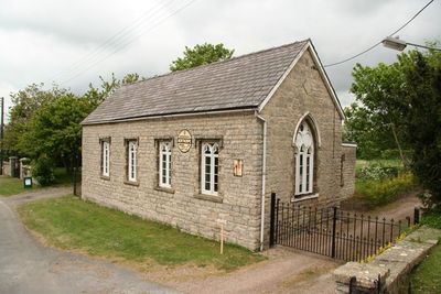
Village Hall, building in Northorpe, West Lindsey, Lincolnshire, UK
Emplacement : Northorpe
Coordonnées GPS : 53.46366,-0.65429
Dernière mise à jour : 4 mars 2025 à 16:13
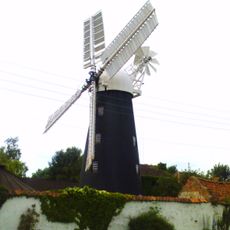
Mount Pleasant Mill
5 km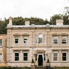
Cleatham Hall
5.9 km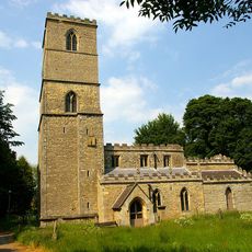
St Andrew's Church, Redbourne
8.4 km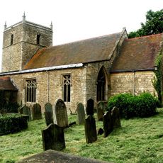
St Chad's Church, Harpswell
8.3 km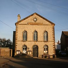
Town Hall
4.6 km
Church of St Lawrence and St George
7.6 km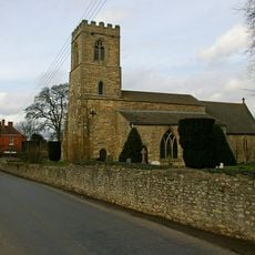
Church of St Genwys
2 km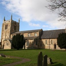
Church of St Andrew
4.2 km
Church of St John the Baptist
32 m
Church of St Lawrence
6 km
Church of St Peter
3.7 km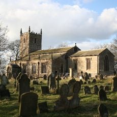
Church of the Holy Trinity
7.7 km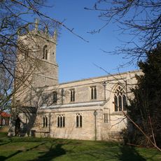
Church of All Saints
4.5 km
Church of St Hybald
6.8 km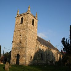
Church of All Saints
7.2 km
Church of St Andrew
5.4 km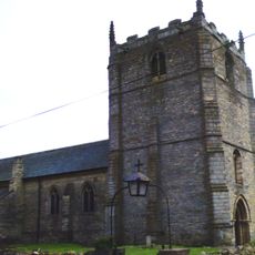
Church of St Radegund
4.2 km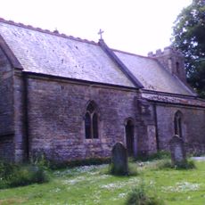
Church of Saint Alkmund
4.7 km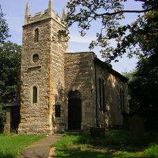
Church of All Saints
4.6 km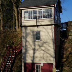
Kirton Lime Sidings Signal Box
7 km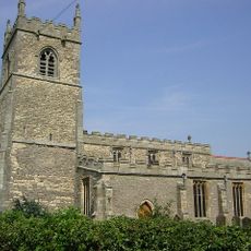
Church of Saint Martin
4.7 km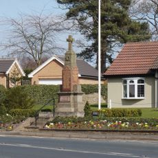
Messingham War Memorial
7.5 km
Sluice And Road Bridge At Outfall Of Snow Sewer/Warping Drain Into The River Trent
8.4 km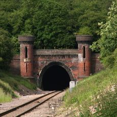
Kirton Railway Tunnel Entrance
5.2 km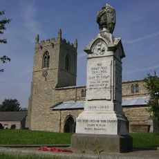
Northorpe War Memorial
55 m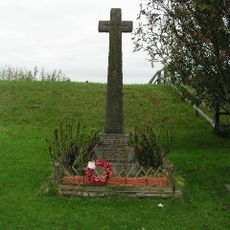
East Ferry War Memorial
8.2 km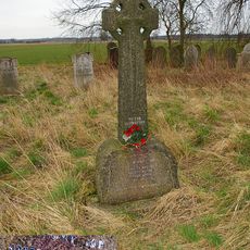
Wildsworth War Memorial
8.6 km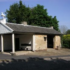
Old Smithy
8.4 kmVous avez visité ce lieu ? Touchez les étoiles pour le noter et partager votre expérience ou vos photos avec la communauté ! Essayez maintenant ! Vous pouvez annuler à tout moment.
Trouvez des trésors cachés à chaque coin de rue !
Des petits cafés pittoresques aux points de vue planqués, fuyez la foule et dénichez les lieux qui vous ressemblent vraiment. Notre app vous facilite la vie : recherche vocale, filtres malins, itinéraires optimisés et bons plans partagés par des voyageurs du monde entier. Téléchargez vite pour vivre l'aventure en version mobile !

Une approche inédite de la découverte touristique❞
— Le Figaro
Tous les lieux qui valent la peine d'être explorés❞
— France Info
Une excursion sur mesure en quelques clics❞
— 20 Minutes