
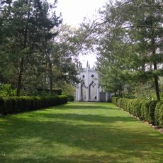
Woronoake, building in Elmbridge, Surrey, UK
Emplacement : Elmbridge
Coordonnées GPS : 51.32419,-0.40133
Dernière mise à jour : 22 mai 2025 à 10:50
Painshill
2 km
The Homewood
3 km
Foxwarren Park
3.6 km
Esher Commons
3.7 km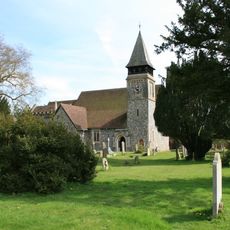
Church of St Mary, Stoke d'Abernon
1.8 km
Delta Force Paintball
2.7 km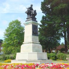
William Whiteley Memorial
3.6 km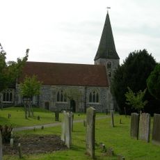
Church of St Andrew, Cobham
728 m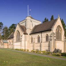
Church of St Mark
3.8 km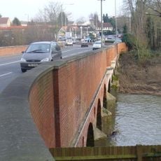
Cobham Bridge
1.9 km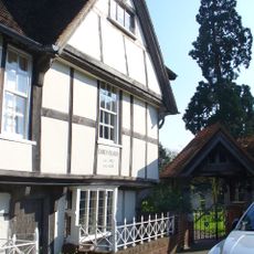
Church Stile House
744 m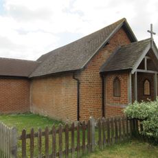
St Michael's Chapel
1.5 km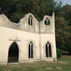
The Chapel Ruins
1.8 km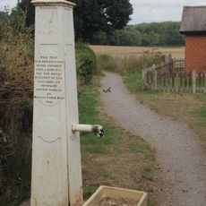
Village Pump
1.5 km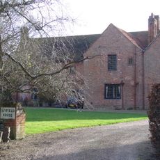
Slyfield Manor, With Attached Garden Walls
2.5 km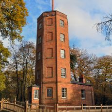
Chatley Semaphore Tower
2.8 km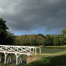
The Chinese Bridge
2 km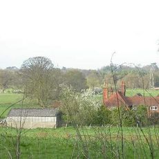
Chatley Farm House
2.6 km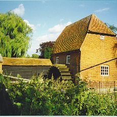
Cobham Mill
514 m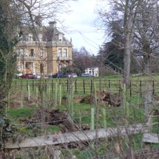
Cobham Park
679 m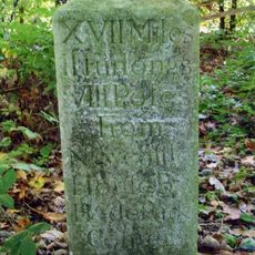
Milestone
3.9 km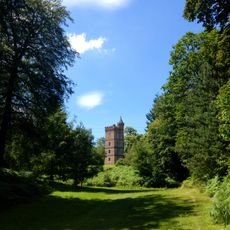
The Gothic Tower
3 km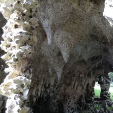
Remains Of Grotto And Rockwork Bridge On Grotto Island
2.1 km
Milestone, NE of Blackhills and end of Meadway (W side of Copsem Lane), nr Fan Court Schoool
3.9 km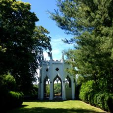
Temple gothique du parc Painshill
1.9 km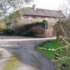
Slyfield Farmhouse, With Attached Garden Wall
2.5 km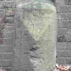
Milestone, Portsmouth Road, W of entrance to Claremont Park, 50m E of brow of hill before La Selva
3.5 km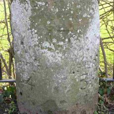
Milestone, Portsmouth Road, opp Northfield Road
1.3 kmAvis
Vous avez visité ce lieu ? Touchez les étoiles pour le noter et partager votre expérience ou vos photos avec la communauté ! Essayez maintenant ! Vous pouvez annuler à tout moment.
Trouvez des trésors cachés à chaque coin de rue !
Des petits cafés pittoresques aux points de vue planqués, fuyez la foule et dénichez les lieux qui vous ressemblent vraiment. Notre app vous facilite la vie : recherche vocale, filtres malins, itinéraires optimisés et bons plans partagés par des voyageurs du monde entier. Téléchargez vite pour vivre l'aventure en version mobile !

Une approche inédite de la découverte touristique❞
— Le Figaro
Tous les lieux qui valent la peine d'être explorés❞
— France Info
Une excursion sur mesure en quelques clics❞
— 20 Minutes