
The Stables, stable in Watton-at-Stone, East Hertfordshire, Hertfordshire, UK
Emplacement : Watton-at-Stone
Coordonnées GPS : 51.84955,-0.08847
Dernière mise à jour : 3 mars 2025 à 13:15
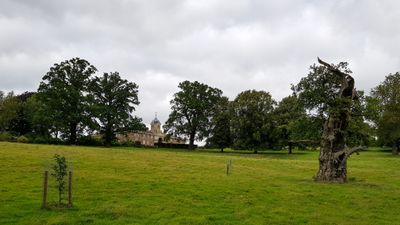
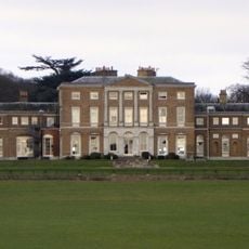
Woodhall Park
388 m
Waterford Heath
3.5 km
Downfield Pit
3.7 km
Three Lakes Golf Course
3.5 km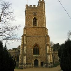
Church of St Andrew and St Mary
1.6 km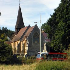
Church of St Michael and All Angels
3.9 km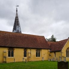
Church of St Mary the Virgin
1.7 km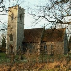
Church of St Katherine
2 km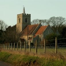
Parish Church of All Saints
3.8 km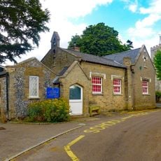
Little Munden Jmi School (South East Wing) (50 Metres To South Of Church)
3.7 km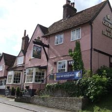
George And Dragon Public House
1.8 km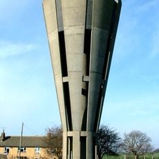
Tonwell Water Tower (pronounced ('Tunnel')
2.1 km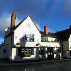
The Bull Public House
1.7 km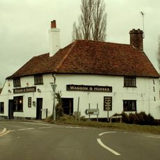
Waggon And Horses Public House
2.4 km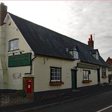
The Robin Hood Public House
2.1 km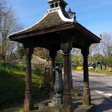
Village Pump And Housing
1.9 km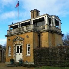
Hetford Lodge East
715 m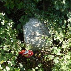
Milestone
731 m
93 And 95, High Street
1.8 km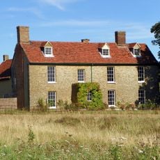
Chelsing Farmhouse
3.3 km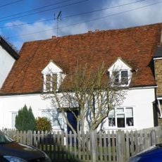
123, High Street
1.7 km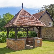
The Old Well House About 20 Metres South West Of Number 2
3.8 km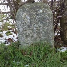
Milestone
2.8 km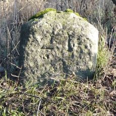
Milestone
1.2 km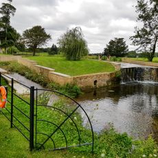
Casade, Weir And Sluice On River Beane About 30 Metres North Of Drive
455 m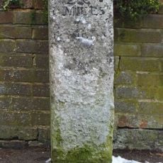
Milestone Aboout 15 Metres East Of Number 138
1.5 km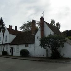
Watton Place And Attached Garden Wall
2 km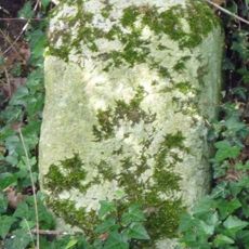
Milestone, S of Tonwell beside footpath on track of old road E of A602
2.4 kmAvis
Vous avez visité ce lieu ? Touchez les étoiles pour le noter et partager votre expérience ou vos photos avec la communauté ! Essayez maintenant ! Vous pouvez annuler à tout moment.
Trouvez des trésors cachés à chaque coin de rue !
Des petits cafés pittoresques aux points de vue planqués, fuyez la foule et dénichez les lieux qui vous ressemblent vraiment. Notre app vous facilite la vie : recherche vocale, filtres malins, itinéraires optimisés et bons plans partagés par des voyageurs du monde entier. Téléchargez vite pour vivre l'aventure en version mobile !

Une approche inédite de la découverte touristique❞
— Le Figaro
Tous les lieux qui valent la peine d'être explorés❞
— France Info
Une excursion sur mesure en quelques clics❞
— 20 Minutes