
Rudford and Highleadon, civil parish in Forest of Dean, Gloucestershire, England
Emplacement : Forest of Dean
Coordonnées GPS : 51.90084,-2.33073
Dernière mise à jour : 4 mars 2025 à 09:37
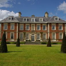
Highnam Court
3.8 km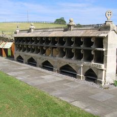
Bee Shelter Approximately 50 Metres East Of St Mary The Virgin Hartpury
1.7 km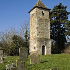
St Oswald's Church, Lassington
2.6 km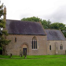
Church of St Mary
1 km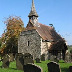
Church of St Michael
3 km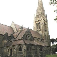
Church of the Holy Innocents
3.8 km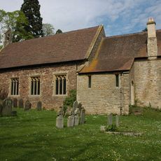
Church of St Lawrence
3.6 km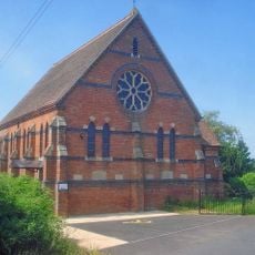
Hartpury Methodist Chapel
3.6 km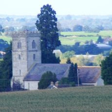
Church of St Mary
1.3 km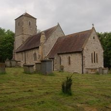
Church of the Holy Trinity
1.8 km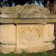
Sloper Monument, In The Churchyard, About 21 Metres North Of West End Of The Chancel, Church Of St Mary
1.4 km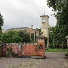
Tibberton Court
1.9 km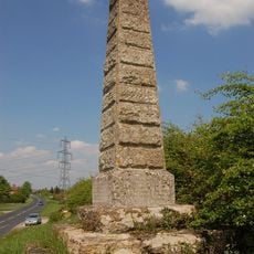
Monument To Dead In Civil War Skirmish
356 m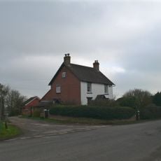
The Laurels
1.1 km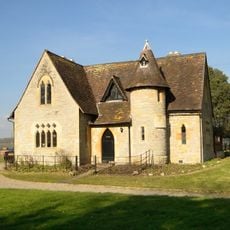
Church Lodge
3.7 km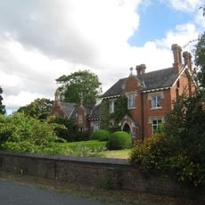
Old School
1.5 km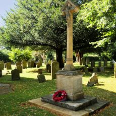
Taynton War Memorial
3.6 km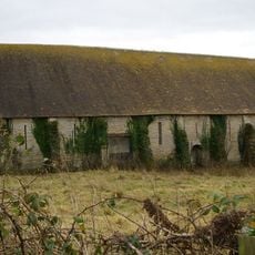
Tithe Barn, Hartpury Court
1.3 km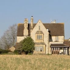
Old Rectory
3.7 km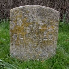
Milestone, Opposite Queen's Farm
3.9 km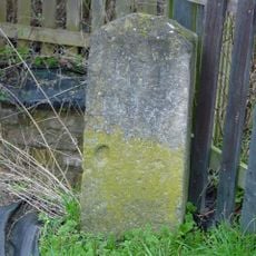
Milestone By Bovone Cottages
550 m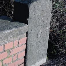
Milestone By Bridge, Approximately 100 Metres West Of Beauchamp House
3.6 km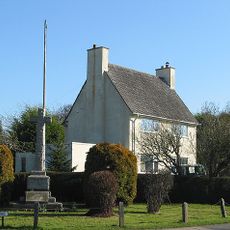
The war memorial, Hartpury
3.6 km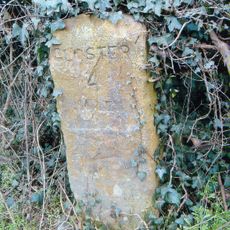
Milestone
3 km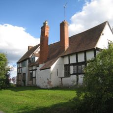
Pound Farmhouse
2.7 km
Milestone, Highleadon
1.2 km
Milestone, N of Old Road next to drive of Milestone Cottage
3.8 km
Milestone, Overton
2.9 kmAvis
Vous avez visité ce lieu ? Touchez les étoiles pour le noter et partager votre expérience ou vos photos avec la communauté ! Essayez maintenant ! Vous pouvez annuler à tout moment.
Trouvez des trésors cachés à chaque coin de rue !
Des petits cafés pittoresques aux points de vue planqués, fuyez la foule et dénichez les lieux qui vous ressemblent vraiment. Notre app vous facilite la vie : recherche vocale, filtres malins, itinéraires optimisés et bons plans partagés par des voyageurs du monde entier. Téléchargez vite pour vivre l'aventure en version mobile !

Une approche inédite de la découverte touristique❞
— Le Figaro
Tous les lieux qui valent la peine d'être explorés❞
— France Info
Une excursion sur mesure en quelques clics❞
— 20 Minutes