
Barling Magna, civil parish in Rochford, Essex, England
Emplacement : Rochford
Coordonnées GPS : 51.56800,0.78100
Dernière mise à jour : 3 mars 2025 à 08:45
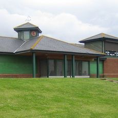
Garon Park
3.4 km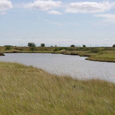
Lion Creek and Lower Raypits
5.7 km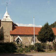
Church of St Mary the Virgin
3 km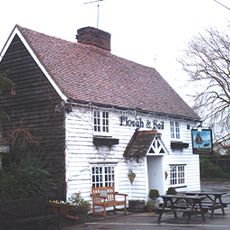
The Plough And Sail Inn
3.5 km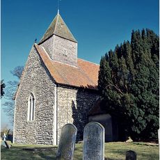
Church of All Saints
4 km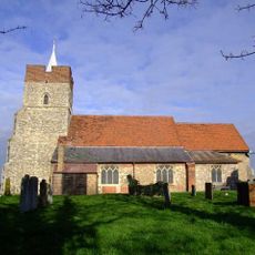
Church of St Mary and All Saints
3.7 km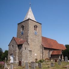
Church of St Nicholas
2.6 km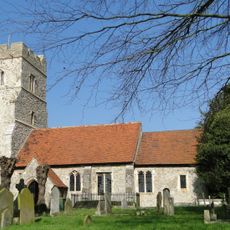
Church of St Peter
3.9 km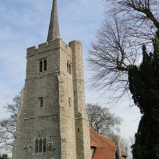
Church of St Mary the Virgin
1 km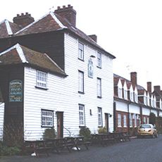
The Punch Bowl Inn
4 km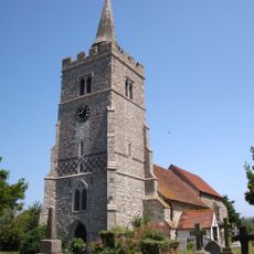
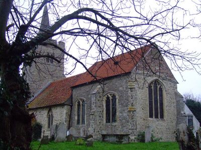
Church of All Saints
698 m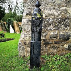
Boundary Marker Post Adjacent To North Side Of West Door, West Tower, Church Of St Mary The Virgin
1 km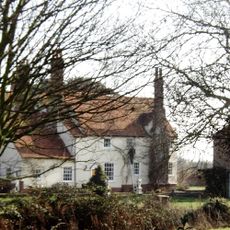
Little Wakering Hall
1.5 km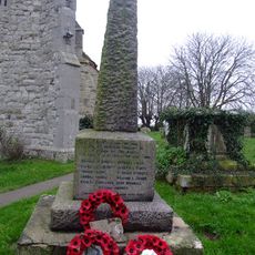
Barling Magna War Memorial
673 m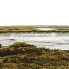
Brimstone Hill
1.6 km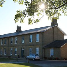
C And D Barracks, Horseshoe Barracks
4.4 km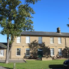
L And M Barracks, Horseshoe Barracks
4.4 km
Manor House
4 km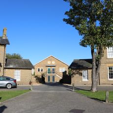
Cook House To Rear Of Block Lm, Horseshoe Barracks
4.4 km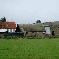
Lambourne Hall
5.4 km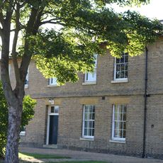
E And F Barracks, Horseshoe Barracks
4.3 km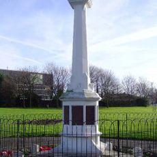
Shoeburyness War Memorial
4.2 km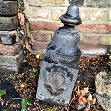
Boundary Marker Post On Roadside Pavement Adjacent To South West Corner Of Churchyard, Church Of St Mary The Virgin
1 km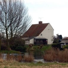
Millers Farmhouse
3 km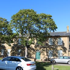
J And K Barracks, Horseshoe Barracks
4.3 km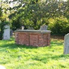
Tomb of John Harriot and his family
3.8 km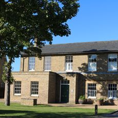
G And H Barracks, Horseshoe Barracks
4.3 km
Beauchamps
2.2 kmVous avez visité ce lieu ? Touchez les étoiles pour le noter et partager votre expérience ou vos photos avec la communauté ! Essayez maintenant ! Vous pouvez annuler à tout moment.
Trouvez des trésors cachés à chaque coin de rue !
Des petits cafés pittoresques aux points de vue planqués, fuyez la foule et dénichez les lieux qui vous ressemblent vraiment. Notre app vous facilite la vie : recherche vocale, filtres malins, itinéraires optimisés et bons plans partagés par des voyageurs du monde entier. Téléchargez vite pour vivre l'aventure en version mobile !

Une approche inédite de la découverte touristique❞
— Le Figaro
Tous les lieux qui valent la peine d'être explorés❞
— France Info
Une excursion sur mesure en quelques clics❞
— 20 Minutes