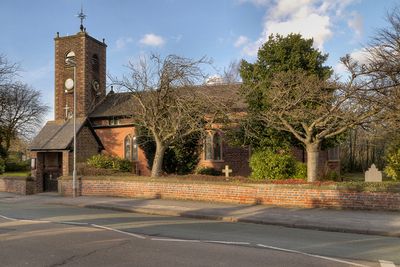
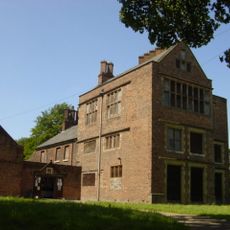
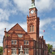
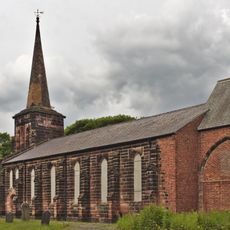
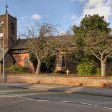
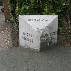
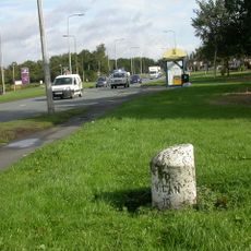
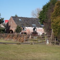
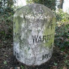
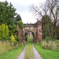
Burtonwood and Westbrook, civil parish in Warrington, Cheshire, England
Emplacement : Warrington
Partage une frontière avec : Great Sankey
Coordonnées GPS : 53.43015,-2.66135
Dernière mise à jour : 3 mars 2025 à 02:34
Gulliver's World Resort
3.9 km
Sankey Viaduct
2.1 km
St Oswald's Church, Winwick
4.2 km
Sankey Valley Park
4.4 km
Bewsey Old Hall
4.3 km
St John the Baptist's Church, Earlestown
2.8 km
Earlestown Town Hall
2.8 km
Church of St Mary and St John, Newton-le-Willows
3.5 km
Emmanuel Wargrave Church
2.8 km
Church of St Michael and All Angels, Burtonwood
367 m
Mill Lane viaduct, Newton-le-Willows
4 km
Bradlegh Old Hall
1.5 km
Bradley Swing Bridge, Sankey Canal
2.2 km
Newton-le-Willows Library
3.3 km
St Patrick's Church, Earlestown
2.6 km
All Saints, Newton-le-Willows
3.3 km
St David's Church, Newton-le-Willows
2.9 km
159 - 163 Crow Lane East, Newton-le-Willows
3.5 km
Waiting room at Earlestown railway station
2.8 km
Earlestown War Memorial
2.8 km
Earlestown Market Cross
2.8 km
Newton Park farmhouse, Newton-le-Willows
4.2 km
Bradley Lock, Sankey Canal
2 km
Milestone, Golborne Road, opp. jcn Hornby Lane
4.2 km
Milestone, Winwick Road, 100m after Poplars Avenue junction
4.4 km
Premises Of Gordan Sheds
3.6 km
Milestone, Newton Road
4 km
Gatehouse to Bradlegh Old Hall
1.5 kmVous avez visité ce lieu ? Touchez les étoiles pour le noter et partager votre expérience ou vos photos avec la communauté ! Essayez maintenant ! Vous pouvez annuler à tout moment.
Trouvez des trésors cachés à chaque coin de rue !
Des petits cafés pittoresques aux points de vue planqués, fuyez la foule et dénichez les lieux qui vous ressemblent vraiment. Notre app vous facilite la vie : recherche vocale, filtres malins, itinéraires optimisés et bons plans partagés par des voyageurs du monde entier. Téléchargez vite pour vivre l'aventure en version mobile !
Une approche inédite de la découverte touristique❞
— Le Figaro
Tous les lieux qui valent la peine d'être explorés❞
— France Info
Une excursion sur mesure en quelques clics❞
— 20 Minutes