
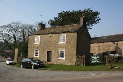
Chestnut Farmhouse, farmhouse in Chapel-en-le-Frith, High Peak, Derbyshire, UK
Emplacement : Chapel-en-le-Frith
Coordonnées GPS : 53.33418,-1.88785
Dernière mise à jour : 6 mars 2025 à 01:30
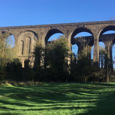
Chapel Milton Viaduct
2 km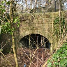
Stodhart Tunnel
2 km
Church of St Thomas of Canterbury
2.1 km
Townend Methodist Church
1.8 km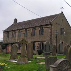
Chinley Independent Chapel
2 km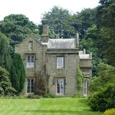
Bowden Hall
858 m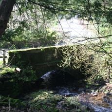
Ford Hall Bridge
302 m
Gate piers, railings and gates to south of Church of St Thomas Becket
2.1 km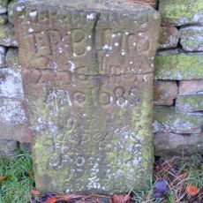
Tombstone at Friends Burial Ground 4.5 metres north of Chestnut Farmhouse
12 m
Trout Beck
1.9 km
Standing cross in the churchyard of St Thomas Becket Church
2.1 km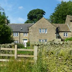
Bowden Head Farmhouse
657 m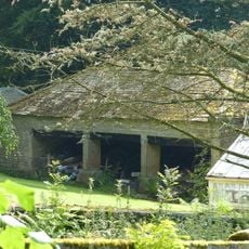
Cartshed to north west of Bowden Hall
853 m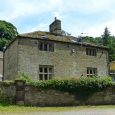
The Smithy
850 m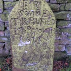
Tombstone at Friends Burial Ground four Metres North of Chestnut Farmhouse
11 m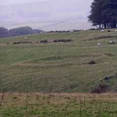
Green Low ringcairn
1.4 km
Hearse House
2 km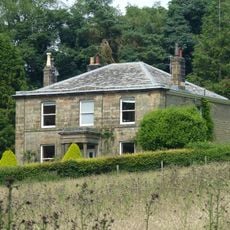
Slack Hall
513 m
Shireoaks Farmhouse
1.4 km
Barn At Malcoff Farm
908 m
Rushup Hall
2 km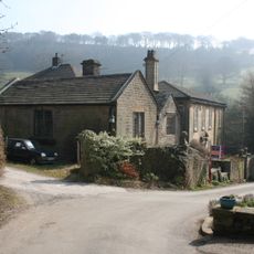
Ford Hall
351 m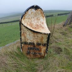
Milepost 230 Metres From Rushop Lane Junction
2 km
Stabling at Bowden Hall
814 m
Slack House Farmhouse And Barn
2 km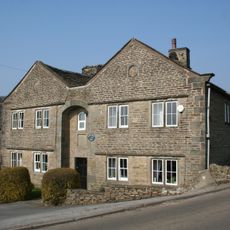
Slackhall Farmhouse
44 m
Malcoff Farmhouse
938 m
Anglo Scandinavian high cross in the churchyard of St Thomas Becket Church
2.1 kmAvis
Vous avez visité ce lieu ? Touchez les étoiles pour le noter et partager votre expérience ou vos photos avec la communauté ! Essayez maintenant ! Vous pouvez annuler à tout moment.
Trouvez des trésors cachés à chaque coin de rue !
Des petits cafés pittoresques aux points de vue planqués, fuyez la foule et dénichez les lieux qui vous ressemblent vraiment. Notre app vous facilite la vie : recherche vocale, filtres malins, itinéraires optimisés et bons plans partagés par des voyageurs du monde entier. Téléchargez vite pour vivre l'aventure en version mobile !

Une approche inédite de la découverte touristique❞
— Le Figaro
Tous les lieux qui valent la peine d'être explorés❞
— France Info
Une excursion sur mesure en quelques clics❞
— 20 Minutes