
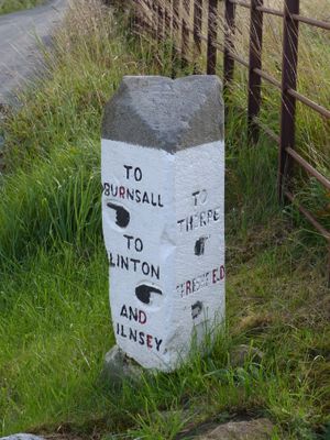
Guide stone at SE 0095 6247, Grade II listed guidestone near Thorpe, Craven, North Yorkshire, BD23
Emplacement : Thorpe
Création : 19e siècle
Coordonnées GPS : 54.05828,-1.98720
Dernière mise à jour : 12 avril 2025 à 10:48
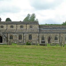
Church of St Michael and All Angels
861 m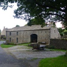
Manor House Barn and approach bridge
794 m
Troutbeck and Beckside Cottage
1.2 km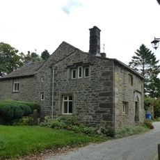
Sunnybank and the Post Office
1.2 km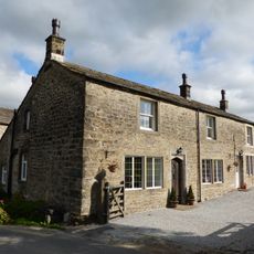
Brows View
1.2 km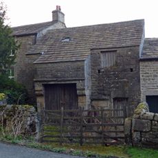
Barn and byre to east of Hardcastle House
741 m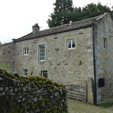
Outbuilding opposite Manor House
788 m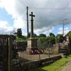
Linton-in-Craven War Memorial
876 m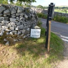
Guide post at SE 0010 6293
941 m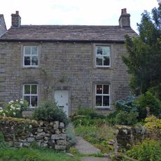
Hardcastle House
729 m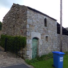
Bull house opposite Kail Farmhouse
858 m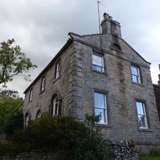
Holly Tree Farmhouse
829 m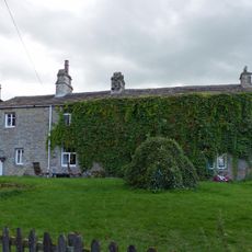
Sunnyside and Sunnybank
816 m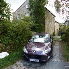
Stonycroft
666 m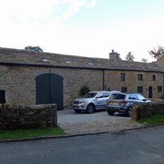
Manor House Cottage and barn
747 m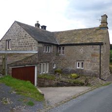
Blackburn House
657 m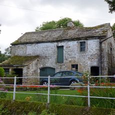
Barn and bothy range to S of Hardy Grange Farmhouse
712 m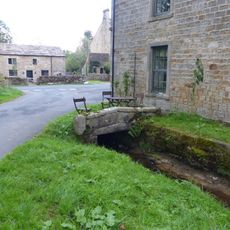
Culvert mouth, lining walls, bridge and sheepwash west of Manor House Barn
790 m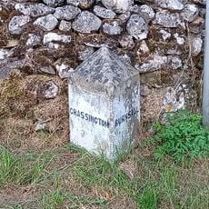
Guide Post At Sd 9979 6285
1.2 km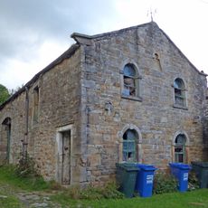
Barn approximately 10 metres south of Holly Tree Farmhouse
840 m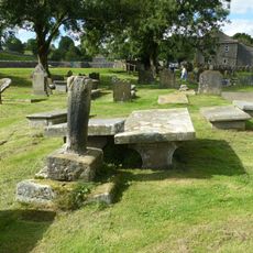
Linton churchyard cross and sundial
852 m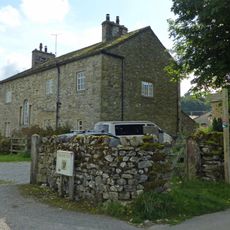
Grange Farmhouse
1.1 km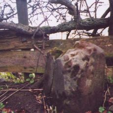
Milestone At Se 0156 6320
955 m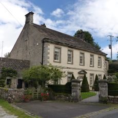
Manor house with wall and gate piers
763 m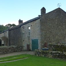
Kail Farmhouse
869 m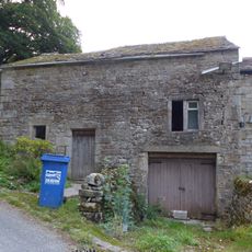
Outbuilding to west end of Hardcastle House
727 m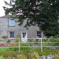
Hardy Grange Farmhouse
698 m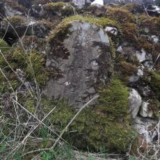
Milestone, UC lane off Lauradale Lane
1.2 kmAvis
Vous avez visité ce lieu ? Touchez les étoiles pour le noter et partager votre expérience ou vos photos avec la communauté ! Essayez maintenant ! Vous pouvez annuler à tout moment.
Trouvez des trésors cachés à chaque coin de rue !
Des petits cafés pittoresques aux points de vue planqués, fuyez la foule et dénichez les lieux qui vous ressemblent vraiment. Notre app vous facilite la vie : recherche vocale, filtres malins, itinéraires optimisés et bons plans partagés par des voyageurs du monde entier. Téléchargez vite pour vivre l'aventure en version mobile !

Une approche inédite de la découverte touristique❞
— Le Figaro
Tous les lieux qui valent la peine d'être explorés❞
— France Info
Une excursion sur mesure en quelques clics❞
— 20 Minutes