
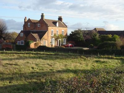
Elms Farmhouse, farmhouse in Malvern, Malvern Hills, Worcestershire, UK
Emplacement : Malvern
Coordonnées GPS : 52.13774,-2.31124
Dernière mise à jour : 14 mars 2025 à 12:54
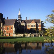
Madresfield Court
2.5 km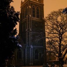
Church of St Matthias, Malvern Link
1 km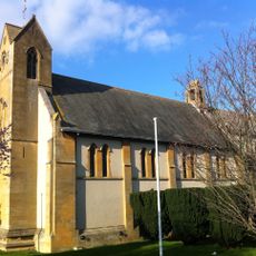
Church of the Ascension, Malvern Link
1.7 km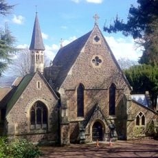
Holy Trinity Church, Malvern Link
2.4 km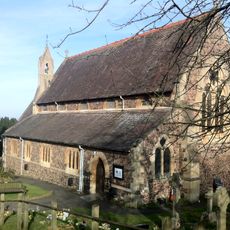
Church of St Peter, Cowleigh
2.3 km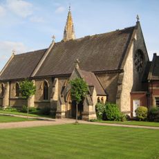
Church of St Leonard
886 m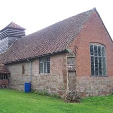
Church of St John the Baptist, Bransford
2.8 km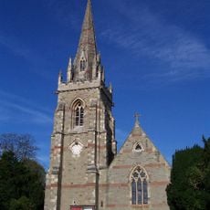
Church of St Mary
2.2 km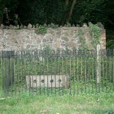
Stocks, Whipping Post And Animal Pound Opposite Holy Trinity Church
2.4 km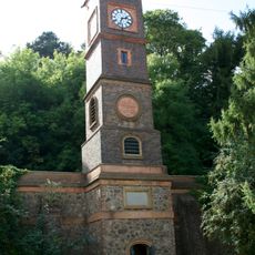
The Water Tower
2.6 km
Two Gas Street Lamps In The Churchyard Of The Church Of St Matthias
1.1 km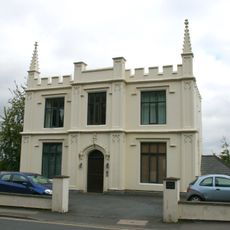
46, Worcester Road
2.8 km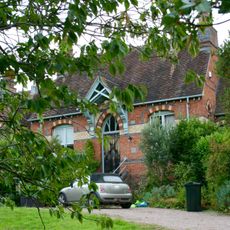
Redwood House (Formerly Malvern Rural Hospital)
1.9 km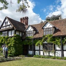
Pickersleigh Court
2 km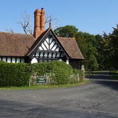
South Lodge
2.5 km
Pillar Box In Front Of The Seaford Court Preparatory School
1.6 km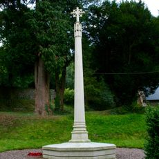
North Malvern War Memorial
2.4 km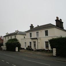
68, Graham Road
2.8 km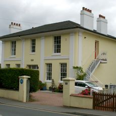
44, Worcester Road
2.8 km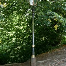
One Gas Street Lamp
2.6 km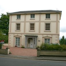
Aucott House
2.7 km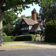
North Lodge
2 km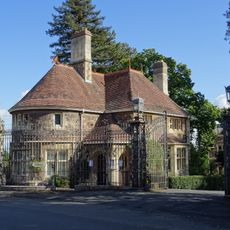
Lodge To Number 148 (Davenham)
2.2 km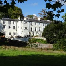
St Ann's Orchard
2.1 km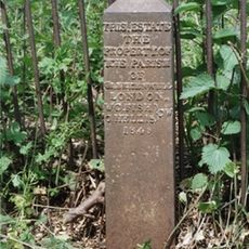
Boundary Post At So 7837 4693
2 km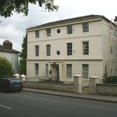
Abberley House
2.6 km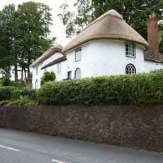
1 and 3, North Malvern Road
2.5 km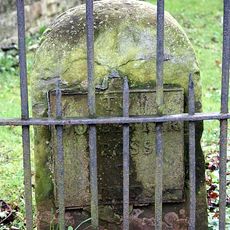
Milestone, Worcester Road, URC Churchyard, Malvern Link
1.3 kmAvis
Vous avez visité ce lieu ? Touchez les étoiles pour le noter et partager votre expérience ou vos photos avec la communauté ! Essayez maintenant ! Vous pouvez annuler à tout moment.
Trouvez des trésors cachés à chaque coin de rue !
Des petits cafés pittoresques aux points de vue planqués, fuyez la foule et dénichez les lieux qui vous ressemblent vraiment. Notre app vous facilite la vie : recherche vocale, filtres malins, itinéraires optimisés et bons plans partagés par des voyageurs du monde entier. Téléchargez vite pour vivre l'aventure en version mobile !

Une approche inédite de la découverte touristique❞
— Le Figaro
Tous les lieux qui valent la peine d'être explorés❞
— France Info
Une excursion sur mesure en quelques clics❞
— 20 Minutes