
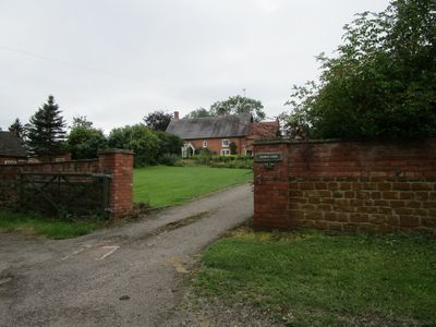
Church Farmhouse, grade II listed farmhouse in Grimston, Leicestershire, United kingdom
Emplacement : Grimston
Coordonnées GPS : 52.78294,-0.96346
Dernière mise à jour : 4 mars 2025 à 09:12
Kirby Bellars Priory
3.2 km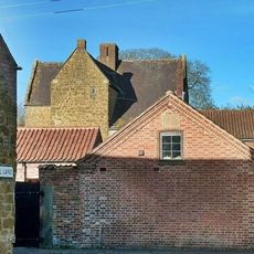
Ab Kettleby Manor
3.1 km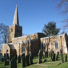
Church of St James the Greater
3 km
Holwell Mouth
4.1 km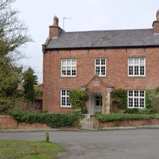
Home Farmhouse
3.6 km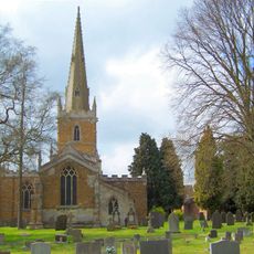
All Saints' Church, Asfordby
2.3 km
Frisby Marsh
4 km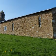
Church of St Leonard
4.4 km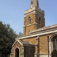
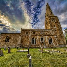
Church of St Peter
149 m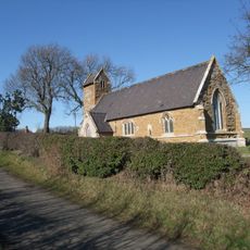
Church of St Bartholomew
2.5 km
Church of St John the Baptist
3.6 km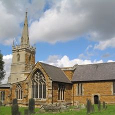
Church of St Thomas of Canterbury
3.3 km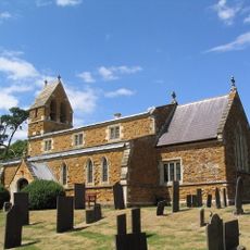
Church of St Michael
2.4 km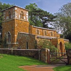
Church of All Saints
4 km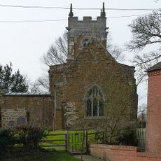
Church of St John the Baptist
1.7 km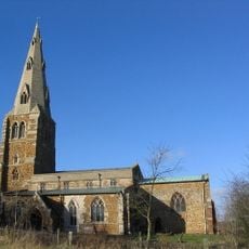
Church of St Peter, Kirby Bellars
3.4 km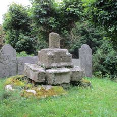
Base And Shaft Of Cross Immediately South Of Church Of St John The Baptist
1.7 km
Church Farmhouse
1.7 km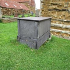
Chest Tomb Approximately 2 Metres West Of Tower Of Church Of St Michael
2.4 km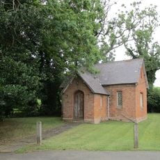
Former Schoolroom
183 m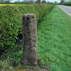
Frisby on the Wreake Stump Cross
4.1 km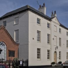
The Coach House
3.4 km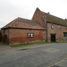
Barn Immediately West Of Church Farmhouse (Number 16)
1.7 km
Church Farmhouse
2.4 km
Ivy House Farmhouse
4.4 km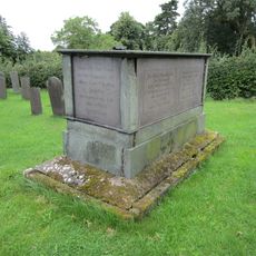
Chest Tomb Approximately 3 Metres South West Of South West Angle Of Church Of St Michael
2.4 km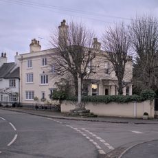
The Limes With Adjoining Outbuidings, Boundary Wall And Pump
3.5 km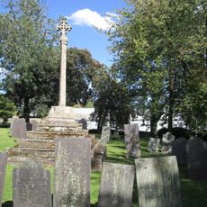
Churchyard Cross
4 kmVous avez visité ce lieu ? Touchez les étoiles pour le noter et partager votre expérience ou vos photos avec la communauté ! Essayez maintenant ! Vous pouvez annuler à tout moment.
Trouvez des trésors cachés à chaque coin de rue !
Des petits cafés pittoresques aux points de vue planqués, fuyez la foule et dénichez les lieux qui vous ressemblent vraiment. Notre app vous facilite la vie : recherche vocale, filtres malins, itinéraires optimisés et bons plans partagés par des voyageurs du monde entier. Téléchargez vite pour vivre l'aventure en version mobile !

Une approche inédite de la découverte touristique❞
— Le Figaro
Tous les lieux qui valent la peine d'être explorés❞
— France Info
Une excursion sur mesure en quelques clics❞
— 20 Minutes