
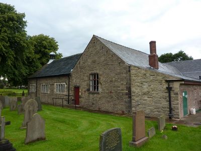
Tunley Presbyterian Church And Sunday School, building in Wrightington, West Lancashire, Lancashire, UK
Emplacement : Wrightington
Coordonnées GPS : 53.60622,-2.69912
Dernière mise à jour : 7 mars 2025 à 05:16
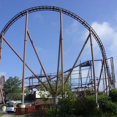
Knightmare
3.3 km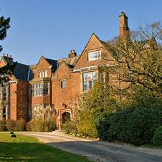
Heskin Hall
3.5 km
Church of St Wilfrid, Standish
3.3 km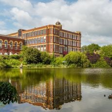
Coppull Mill
3.4 km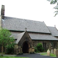
St James' Church, Wrightington Bar
1.7 km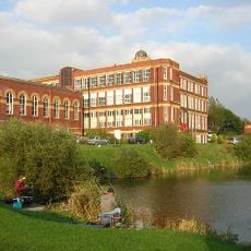
Mavis Mill
3.3 km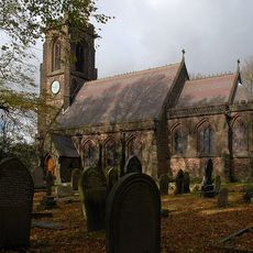
Christ Church
3.7 km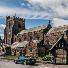
Church of St John the Divine, Coppull
2.9 km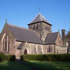
Church of St Joseph and Attached Presbytery
1.5 km
Red Herring (Former Office Block To Coppull Ring Mill)
3.4 km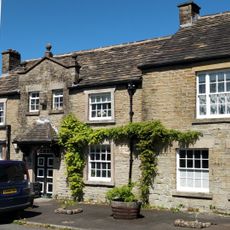
Hesketh Arms Public House And Adjacent Mounting Block
1.8 km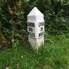
Leeds And Liverpool Canal Milestone Approximately 30 Metres South East Of Hand Lane Bridge
3.6 km
Cross Base Opposite End Of Westmead
3.7 km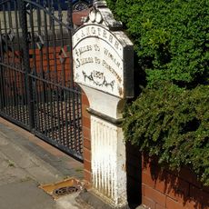
Milepost Outside Number 247
2.4 km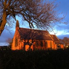
St Anne's Church, Shevington
3.8 km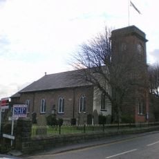
Coppull Parish Church
3.1 km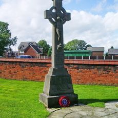
St Marie Of The Annunciation War Memorial Cross
3.1 km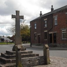
Village cross and stocks
3.3 km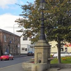
Jubilee Drinking Fountain
3.5 km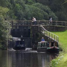
Leeds And Liverpool Canal Southern Lock At Appley Locks
3.5 km
Cross Base Outside Number 108
3.7 km
Standish Library
3.3 km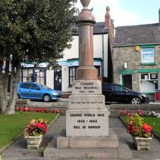
Standish Pillar War Memorial
3.5 km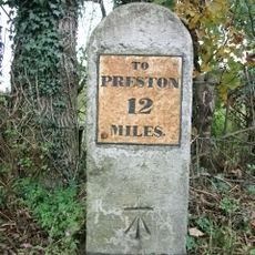
Milestone At Sd 534 133
1 km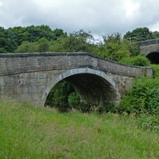
Leeds And Liverpool Canal Hand Lane Bridge (Number 41)
3.6 km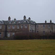
Wrightington Hall
1.9 km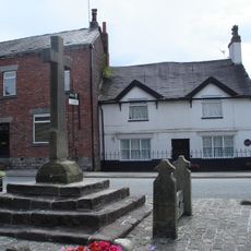
Market Cross
3.3 km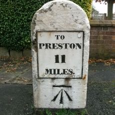
Milestone, Heskin Green
2.6 kmVous avez visité ce lieu ? Touchez les étoiles pour le noter et partager votre expérience ou vos photos avec la communauté ! Essayez maintenant ! Vous pouvez annuler à tout moment.
Trouvez des trésors cachés à chaque coin de rue !
Des petits cafés pittoresques aux points de vue planqués, fuyez la foule et dénichez les lieux qui vous ressemblent vraiment. Notre app vous facilite la vie : recherche vocale, filtres malins, itinéraires optimisés et bons plans partagés par des voyageurs du monde entier. Téléchargez vite pour vivre l'aventure en version mobile !

Une approche inédite de la découverte touristique❞
— Le Figaro
Tous les lieux qui valent la peine d'être explorés❞
— France Info
Une excursion sur mesure en quelques clics❞
— 20 Minutes