
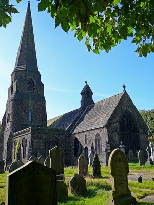
Church of St. James, church building in Rochdale, Greater Manchester, UK
Emplacement : Rochdale
Coordonnées GPS : 53.66030,-2.09026
Dernière mise à jour : 3 mars 2025 à 03:06

Hollingworth Lake
3.3 km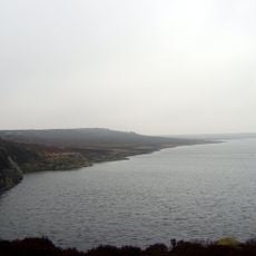
Blackstone Edge Reservoir
3.1 km
Handle Hall
276 m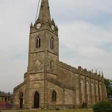
Church of the Holy Trinity
1.8 km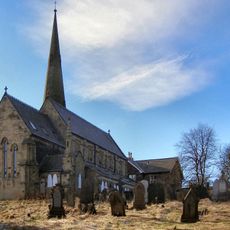
Church of Saint James the Apostle
3.1 km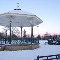
Hare Hill Park Band Stand
1.6 km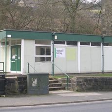
Walsden Library
3.8 km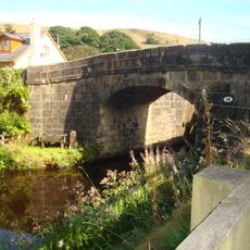
Lane Bottom Bridge
2.7 km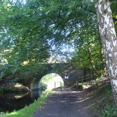
Rochdale Canal Stone House Bridge
2.5 km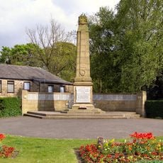
Littleborough War Memorial
1.9 km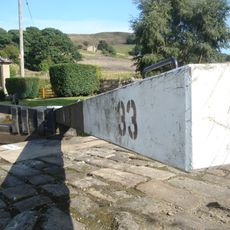
Rochdale Canal Lock 33 Bottomley Lock
2.7 km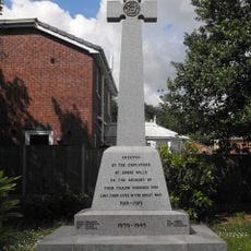
Shore Mill War Memorial
1.7 km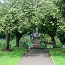
Drinking Fountain At Hare Hill Park
1.6 km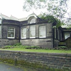
Littleborough Library
1.5 km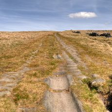
Blackstone Edge Roman road
3.5 km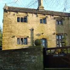
Shore Hall
2.1 km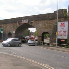
Littleborough Viaduct
1.9 km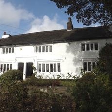
Dearnley Old Hall
3.1 km
Steanor Bottom Toll House
1.7 km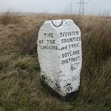
Boundary Stone 200 Metres From Junction With Turvin Road (B6138)
3.6 km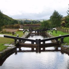
Rochdale Canal Lock 34 Warland Lower Lock And Attached Footbridge
2.2 km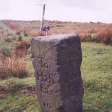
Allescholes Guide Post At Ngr Sd 840 202
2.1 km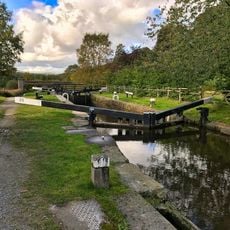
Rochdale Canal Lock 35 Warland Upper Lock
2 km
Waterstalls
2.9 km
Boundary Stone At Ngr Sd 945198
1.5 km
Milestone Next To Number 774 At Ngr Sd 934213
3.2 km
Milestone, Reddyshore Scout Gate, W of A6033
1.7 km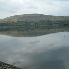
Watergrove Reservoir
3.2 kmVous avez visité ce lieu ? Touchez les étoiles pour le noter et partager votre expérience ou vos photos avec la communauté ! Essayez maintenant ! Vous pouvez annuler à tout moment.
Trouvez des trésors cachés à chaque coin de rue !
Des petits cafés pittoresques aux points de vue planqués, fuyez la foule et dénichez les lieux qui vous ressemblent vraiment. Notre app vous facilite la vie : recherche vocale, filtres malins, itinéraires optimisés et bons plans partagés par des voyageurs du monde entier. Téléchargez vite pour vivre l'aventure en version mobile !

Une approche inédite de la découverte touristique❞
— Le Figaro
Tous les lieux qui valent la peine d'être explorés❞
— France Info
Une excursion sur mesure en quelques clics❞
— 20 Minutes