
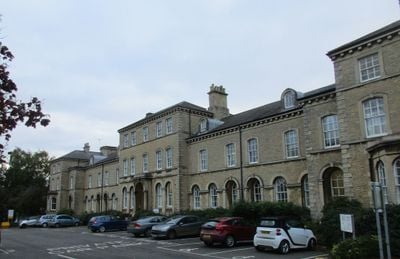
Lafford Terrace, building in Sleaford, North Kesteven, Lincolnshire, UK
Emplacement : Sleaford
Coordonnées GPS : 52.99990,-0.40561
Dernière mise à jour : 2 mars 2025 à 23:48
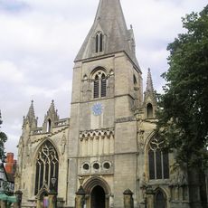
St Denys' Church
220 m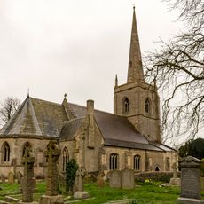
St Botolph's Church
2.2 km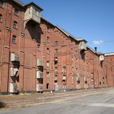
Bass Maltings, Sleaford
745 m
Sleaford Castle
727 m
South Rauceby Hall
4.2 km
Manor House
348 m
Westholme House
620 m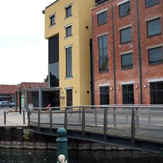
The National Centre for Craft & Design
177 m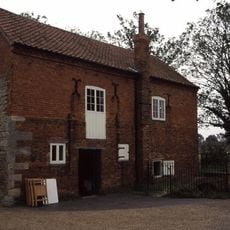
Cogglesford Mill
417 m
The Packhorse Inn
329 m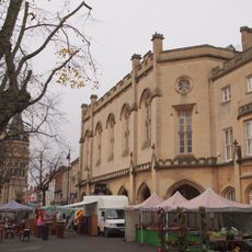
Town Hall (Sessions House)
306 m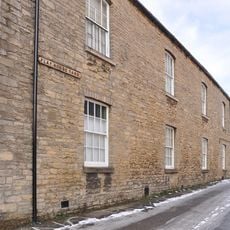
Playhouse, Sleaford
532 m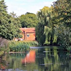
Cogglesford Watermill
422 m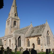
Church of St Andrew
3 km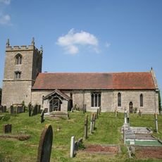
Church of St Denys
2.8 km
Parish Church of St Denys, Silk Willoughby
3.2 km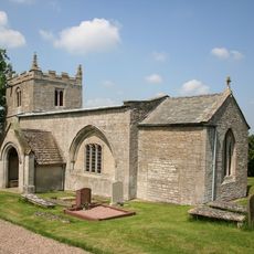
Church of St Mary
2.8 km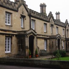
Carre's Hospital. Pump And Sun-dial In The Forecourt And Wall Along Carre Street
193 m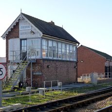
Sleaford East Signal Box
565 m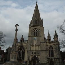
Sleaford, Quarrington and Holdingham War Memorial
262 m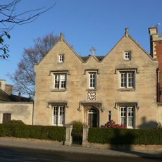
40 Northgate
404 m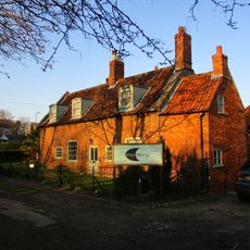
Coggesford Mill Farmhouse
421 m
Mill Buildings To Holdingham Farm
2.7 km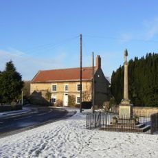
Leasingham War Memorial
3 km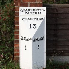
Milepost, Grantham Road, Quarrington, by No. 236
1.9 km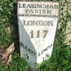
Milepost 3 Metres South Of Hall Farmhouse
3 km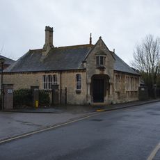
Schoolroom Annexe To Kesteven And Sleaford High School
470 m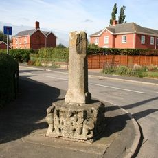
Silk Willoughby village cross
3.3 kmVous avez visité ce lieu ? Touchez les étoiles pour le noter et partager votre expérience ou vos photos avec la communauté ! Essayez maintenant ! Vous pouvez annuler à tout moment.
Trouvez des trésors cachés à chaque coin de rue !
Des petits cafés pittoresques aux points de vue planqués, fuyez la foule et dénichez les lieux qui vous ressemblent vraiment. Notre app vous facilite la vie : recherche vocale, filtres malins, itinéraires optimisés et bons plans partagés par des voyageurs du monde entier. Téléchargez vite pour vivre l'aventure en version mobile !

Une approche inédite de la découverte touristique❞
— Le Figaro
Tous les lieux qui valent la peine d'être explorés❞
— France Info
Une excursion sur mesure en quelques clics❞
— 20 Minutes