
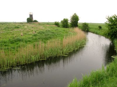
Kerrisons Level Drainage Mill, building in Halvergate, Broadland, Norfolk, UK
Emplacement : Halvergate
Coordonnées GPS : 52.61867,1.63607
Dernière mise à jour : 3 mars 2025 à 02:54
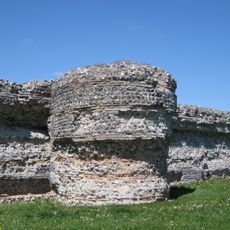
Burgh Castle Roman Site
4.1 km
Garianonum
4.2 km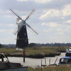
Berney Arms Windmill
3.6 km
Halvergate Marshes
3.7 km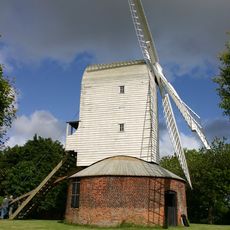
Thrigby Windmill
3.6 km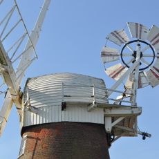
Stracey Arms Windpump
2.1 km
Lockgate Mill
2.2 km
Mutton's Mill
3 km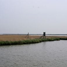
Berney Marshes RSPB reserve
3.7 km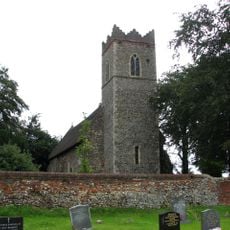
Church of St Andrew
3.3 km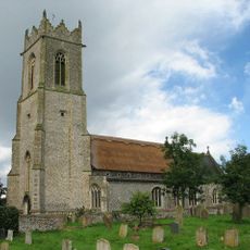
Church of All Saints
4.7 km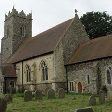
Church of St Andrew
4.6 km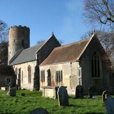
Church of St Peter and St Paul
3.8 km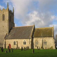
Church of St Peter and St Paul
2.3 km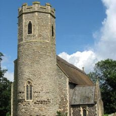
Church of St Peter and St Paul
4.3 km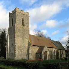
St Mary's, Thrigby
3.9 km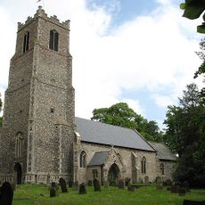
Church of St Peter and St Paul
4.8 km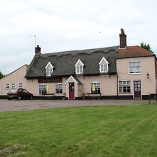
Red Lion Public House
4.2 km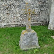
Thrigby War Memorial
3.9 km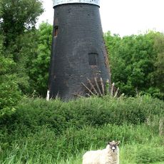
Tunstall Dyke Drainage Mill
4.1 km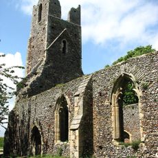
Remains of Church of St Peter and St Paul
4.5 km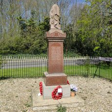
Halvergate and Tunstall War Memorial, including gated railings
4.7 km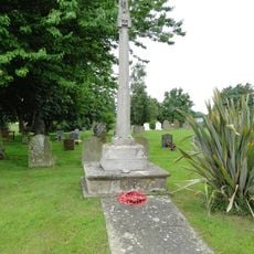
Mautby War Memorial
4.2 km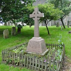
Filby War Memorial
4.8 km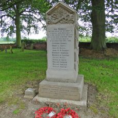
Stokesby with Herringby War Memorial
3.3 km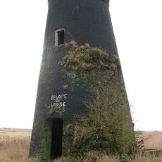
Six Mile House Drainage Mill
1.3 km
Tunstall Dyke Smock Mill
3.9 km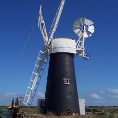
Wind Pump At Ashtree Farm
4.5 kmVous avez visité ce lieu ? Touchez les étoiles pour le noter et partager votre expérience ou vos photos avec la communauté ! Essayez maintenant ! Vous pouvez annuler à tout moment.
Trouvez des trésors cachés à chaque coin de rue !
Des petits cafés pittoresques aux points de vue planqués, fuyez la foule et dénichez les lieux qui vous ressemblent vraiment. Notre app vous facilite la vie : recherche vocale, filtres malins, itinéraires optimisés et bons plans partagés par des voyageurs du monde entier. Téléchargez vite pour vivre l'aventure en version mobile !

Une approche inédite de la découverte touristique❞
— Le Figaro
Tous les lieux qui valent la peine d'être explorés❞
— France Info
Une excursion sur mesure en quelques clics❞
— 20 Minutes