
Road Bridge At St Andrews Hospital, road bridge in Thorpe St. Andrew, Broadland, Norfolk, UK
Emplacement : Thorpe St Andrew
Coordonnées GPS : 52.62821,1.36851
Dernière mise à jour : 28 novembre 2025 à 15:30

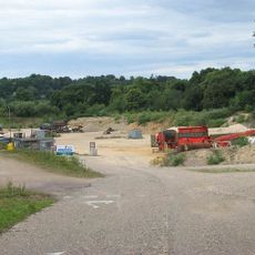
Whitlingham Quarry
2.3 km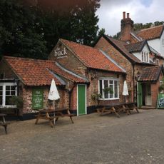
Buck Inn
2 km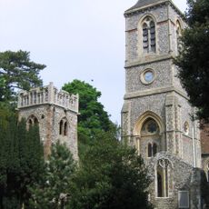
Church of St Andrew
2 km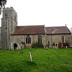
Church of All Saints
1.8 km
Church of St Mary the Virgin
2.5 km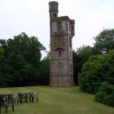
Thorpe Tower
2.4 km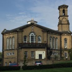
Church At St Andrews Hospital
197 m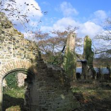
Ruins Of Trowse Newton Hall
2.9 km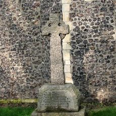
Postwick War Memorial Cross
1.8 km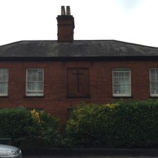
18-20, Yarmouth Road
2.4 km
St Andrews Hospital
163 m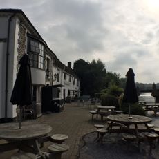
The Boat And Bottle
1.8 km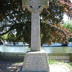
Thorpe St Andrew War Memorial
1.9 km
Great Plumstead War Memorial
2.5 km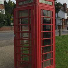
K6 Telephone Kiosk
1.8 km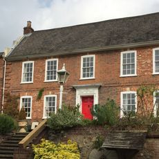
Old Thorpe House
2.2 km
Broadland District Council Offices Thorpe Lodge
2.8 km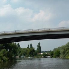
Postwick Viaduct
540 m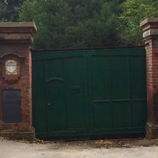
Boundary Wall To Road Extending From Number 2 To Number 10
2.6 km
The Manor House
2.4 km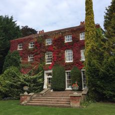
The Old Rectory
1.6 km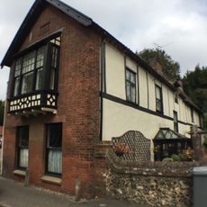
Homestead
2 km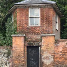
Gazebo South East Of Thorpe Lodge On Yarmouth Road
2.7 km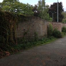
Serpentine Wall On The West Side Of Eden Close
2.9 km
Ruins of Church of St Andrew
1.1 km
Ruin of Church of St Andrew
2 km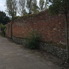
North Boundary Wall Of Number 6
2.9 km
The Dell
1.7 kmVous avez visité ce lieu ? Touchez les étoiles pour le noter et partager votre expérience ou vos photos avec la communauté ! Essayez maintenant ! Vous pouvez annuler à tout moment.
Trouvez des trésors cachés à chaque coin de rue !
Des petits cafés pittoresques aux points de vue planqués, fuyez la foule et dénichez les lieux qui vous ressemblent vraiment. Notre app vous facilite la vie : recherche vocale, filtres malins, itinéraires optimisés et bons plans partagés par des voyageurs du monde entier. Téléchargez vite pour vivre l'aventure en version mobile !

Une approche inédite de la découverte touristique❞
— Le Figaro
Tous les lieux qui valent la peine d'être explorés❞
— France Info
Une excursion sur mesure en quelques clics❞
— 20 Minutes