
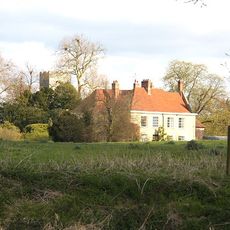
Bridge Farmhouse, farmhouse in Pakenham, St. Edmundsbury, Suffolk, UK
Emplacement : Pakenham
Coordonnées GPS : 52.29559,0.82889
Dernière mise à jour : 12 mars 2025 à 13:36

Ixworth Abbey
279 m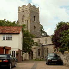
Church of St Mary, Ixworth
275 m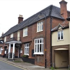
The Pickerel Inn
349 m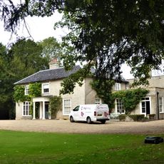
Ixworth Priory
162 m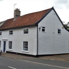
Warrens General Store
245 m
Priory Lodge And Outbuildings
69 m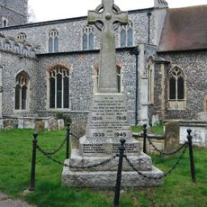
Ixworth War Memorial
262 m
Saddlers
339 m
The Robert Peel Guest House
207 m
10, High Street
206 m
Office And Two Outbuildings Adjoining Cyder House
123 m
The Old Woolpack Public House
50 m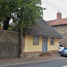
Cosycot
57 m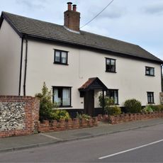
The Blooms
284 m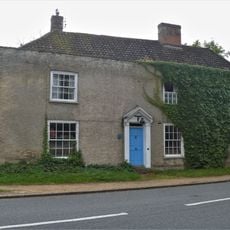
The Cyder House
117 m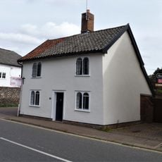
24, High Street
263 m
19, High Street
337 m
16, High Street
228 m
26-30, High Street
286 m
17, High Street
328 m
15, High Street
321 m
1-2, Stow Road
349 m
14, High Street
222 m
Barn South East To Dover House
178 m
Christophers Hairdressers
301 m
Dover House And Garden Wall Adjoining On West
179 m
20 And 22, High Street
249 m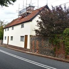
Priory Farmhouse
55 mVous avez visité ce lieu ? Touchez les étoiles pour le noter et partager votre expérience ou vos photos avec la communauté ! Essayez maintenant ! Vous pouvez annuler à tout moment.
Trouvez des trésors cachés à chaque coin de rue !
Des petits cafés pittoresques aux points de vue planqués, fuyez la foule et dénichez les lieux qui vous ressemblent vraiment. Notre app vous facilite la vie : recherche vocale, filtres malins, itinéraires optimisés et bons plans partagés par des voyageurs du monde entier. Téléchargez vite pour vivre l'aventure en version mobile !

Une approche inédite de la découverte touristique❞
— Le Figaro
Tous les lieux qui valent la peine d'être explorés❞
— France Info
Une excursion sur mesure en quelques clics❞
— 20 Minutes