
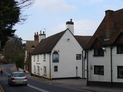
The Ship Public House, pub in Guildford, Surrey, UK
Emplacement : Guildford
Coordonnées GPS : 51.22574,-0.57952
Dernière mise à jour : 9 mars 2025 à 05:31
Yvonne Arnaud Theatre
931 m
Guildford Museum
992 m
St Nicolas' Church, Guildford
894 m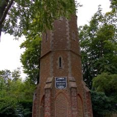
Booker's Tower
485 m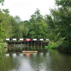
Wey Valley Meadows
877 m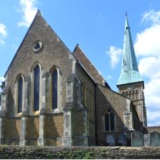
Church of St Mary the Virgin
827 m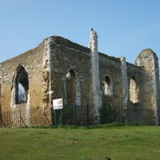
Chapel of St Catherine
169 m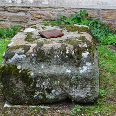
Stone Base To Cross, 1 Yard West Of South Porch Of Church Of St Mary The Virgin
823 m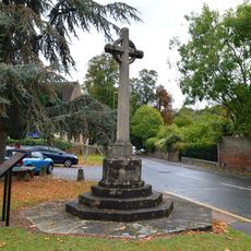
Shalford War Memorial
889 m
The Haven
755 m
44, Quarry Street
926 m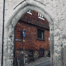
Castle Arch
983 m
79, Portsmouth Road
724 m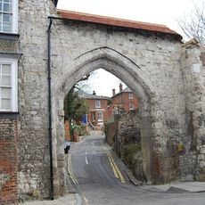
The Castle Gateway And Walls Adjoining To The East And South
973 m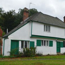
20 And 22, The Street
900 m
National Westminster Bank Area Office
952 m
Lintott House
705 m
Quarry Hill House Incorporating Castle Walls
941 m
Diocesan House
917 m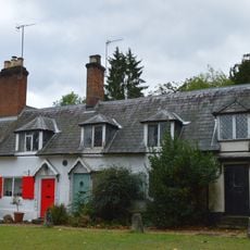
16 And 18, The Street
890 m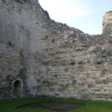
Former Private Apartments At Guildford Castle
1 km
Stock And Whipping Post, 1 Yard From Church Yard Wall
859 m
69 And 71, Portsmouth Road
770 m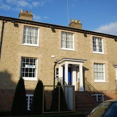
1-3, Bury Street
966 m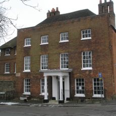
Westbury House
910 m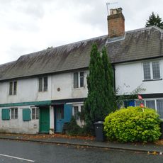
24-30, The Street
910 m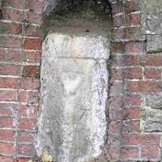
Milestone, Portsmouth Road, opp. Rivermount Gardens
245 m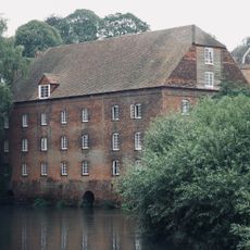
Town Mill
962 mAvis
Vous avez visité ce lieu ? Touchez les étoiles pour le noter et partager votre expérience ou vos photos avec la communauté ! Essayez maintenant ! Vous pouvez annuler à tout moment.
Trouvez des trésors cachés à chaque coin de rue !
Des petits cafés pittoresques aux points de vue planqués, fuyez la foule et dénichez les lieux qui vous ressemblent vraiment. Notre app vous facilite la vie : recherche vocale, filtres malins, itinéraires optimisés et bons plans partagés par des voyageurs du monde entier. Téléchargez vite pour vivre l'aventure en version mobile !

Une approche inédite de la découverte touristique❞
— Le Figaro
Tous les lieux qui valent la peine d'être explorés❞
— France Info
Une excursion sur mesure en quelques clics❞
— 20 Minutes