
Amsbury Wood Enclosure, earthworks in Coxheath, Kent, England, UK
Emplacement : Coxheath
Coordonnées GPS : 51.23183,0.48272
Dernière mise à jour : 23 mars 2025 à 11:29

Linton Park
2.7 km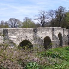
Teston Bridge
3.4 km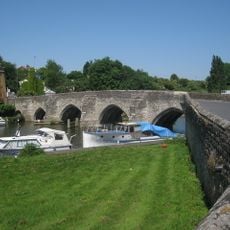
East Farleigh Bridge
2.5 km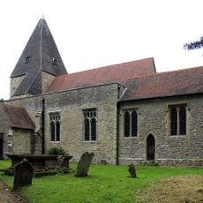
St Mary's Church, Hunton
1.6 km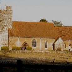
All Saints Church, West Farleigh
3.1 km
West Farleigh Hall
2.6 km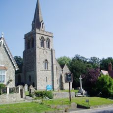
St Nicholas Church, Linton
2.2 km
Holy Trinity Church, Coxheath
957 m
Church of Saint Mary, East Farleigh
2.3 km
Church of St Margaret
3.5 km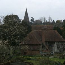
Church of All Saints
2.5 km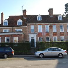
Church House
3.7 km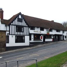
The Bull Inn
2.1 km
The Bull Inn
3.6 km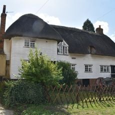
Randall Cottages
3.6 km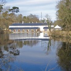
Hayle Mill
3.6 km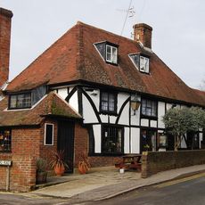
The Walnut Tree Public House
3.6 km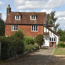
Highlands Farmhouse
1 km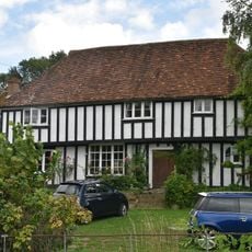
Bridge House
2.5 km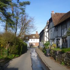
The Wool House And Garden Wall To North And East
2.4 km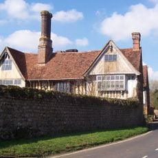
Stonewall Farmhouse
2.1 km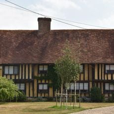
Clapper House And Pump
2.2 km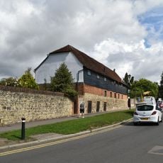
The Hop Barn And The Old Barn
3.7 km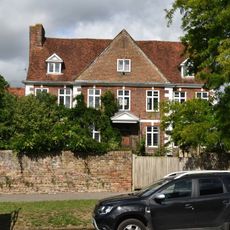
Court Lodge And The Dairy House
3.7 km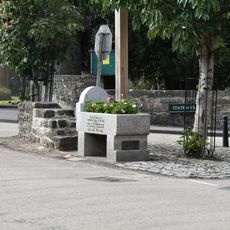
Drinking Trough To Centre Of Junction With Station Road
2.3 km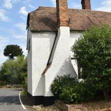
The Old Bull House
2.1 km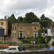
Former East Farleigh Waterworks
2.6 km
Bridge House
2.3 kmAvis
Vous avez visité ce lieu ? Touchez les étoiles pour le noter et partager votre expérience ou vos photos avec la communauté ! Essayez maintenant ! Vous pouvez annuler à tout moment.
Trouvez des trésors cachés à chaque coin de rue !
Des petits cafés pittoresques aux points de vue planqués, fuyez la foule et dénichez les lieux qui vous ressemblent vraiment. Notre app vous facilite la vie : recherche vocale, filtres malins, itinéraires optimisés et bons plans partagés par des voyageurs du monde entier. Téléchargez vite pour vivre l'aventure en version mobile !

Une approche inédite de la découverte touristique❞
— Le Figaro
Tous les lieux qui valent la peine d'être explorés❞
— France Info
Une excursion sur mesure en quelques clics❞
— 20 Minutes