
Lickey and Blackwell, civil parish in Bromsgrove, Worcestershire, England
Emplacement : Bromsgrove District
Coordonnées GPS : 52.36200,-2.01000
Dernière mise à jour : 8 mars 2025 à 10:32

Artrix
3.8 km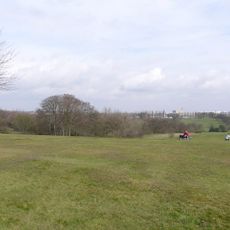
Cofton Park
2.7 km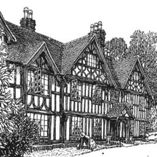
Barnt Green House
1.3 km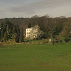
Cofton Hall
2 km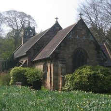
Church of St Michael, Cofton Hackett
2.4 km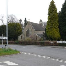
Holy Trinity Church, Lickey
1.5 km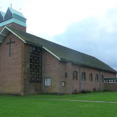
St John the Baptist's Church, Longbridge
4.4 km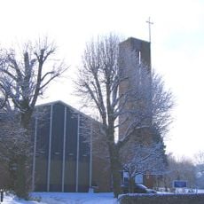
St Chad's Church, Rubery
3.5 km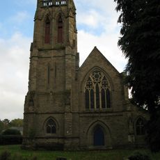
Church of All Saints
3.6 km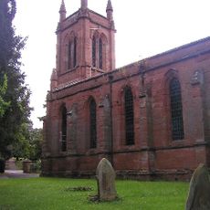
Christ Church
3.7 km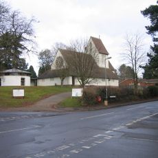
Church of St Catherine
1.4 km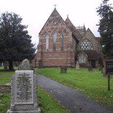
Church of St Laurence
3.5 km
Empire Birmingham Great Park
4 km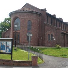
Church of St Andrew
1.5 km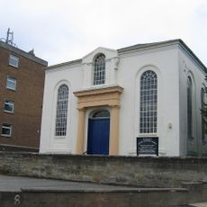
Congregational Chapel
4.5 km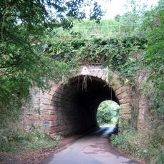
Blackwell Road Railway Under Bridge At Ngr So9884371537
2.3 km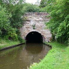
Worcester and Birmingham Canal, South Portal of the Tardebigge Tunnel
4.4 km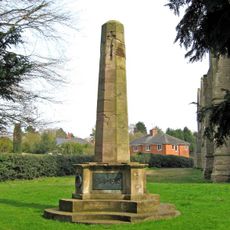
Bromsgrove All Saints' War Memorial
3.6 km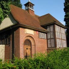
Old Rednal Library
3.3 km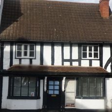
17, The Square
3.6 km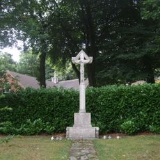
Lickey War Memorial
1.4 km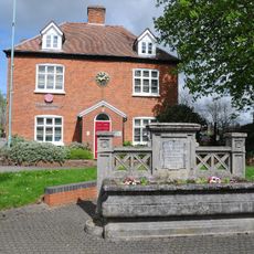
2, Stourbridge Road
4.2 km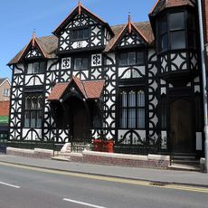
1 and 3, New Road
4.6 km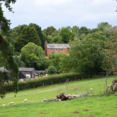
Plymouth House
4.4 km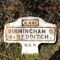
Milestone, Redditch Road, Arrowfield Top
3.5 km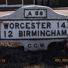
Milestone, Lickey End, S of M42 Jct 1
2.8 km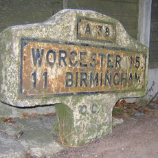
Milestone, Lower Marlbrook, N of M42 Jct 1
2.5 km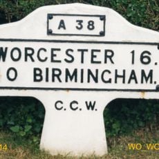
Milestone, Lydiate Ash, by "Hazlewood" No. 658, on "Old Birmingham Road"; now by-passed
2.8 kmAvis
Vous avez visité ce lieu ? Touchez les étoiles pour le noter et partager votre expérience ou vos photos avec la communauté ! Essayez maintenant ! Vous pouvez annuler à tout moment.
Trouvez des trésors cachés à chaque coin de rue !
Des petits cafés pittoresques aux points de vue planqués, fuyez la foule et dénichez les lieux qui vous ressemblent vraiment. Notre app vous facilite la vie : recherche vocale, filtres malins, itinéraires optimisés et bons plans partagés par des voyageurs du monde entier. Téléchargez vite pour vivre l'aventure en version mobile !

Une approche inédite de la découverte touristique❞
— Le Figaro
Tous les lieux qui valent la peine d'être explorés❞
— France Info
Une excursion sur mesure en quelques clics❞
— 20 Minutes