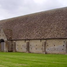
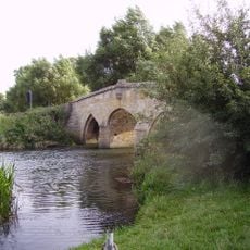
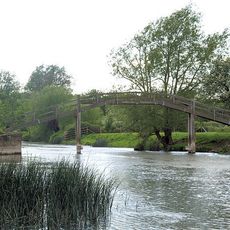
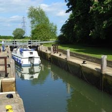
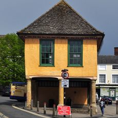
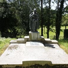
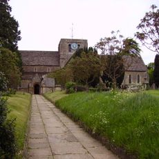
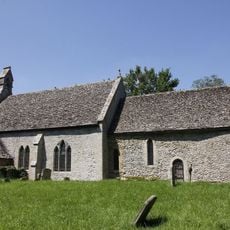
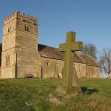
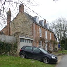
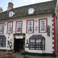
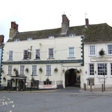
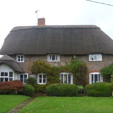
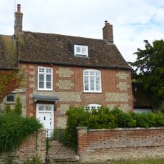
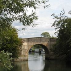
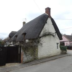
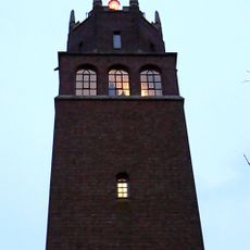
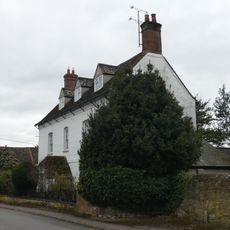
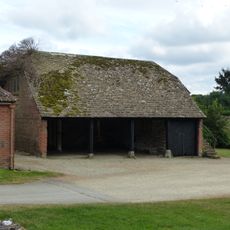
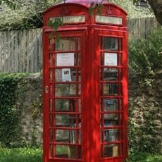
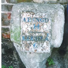
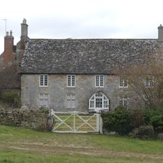
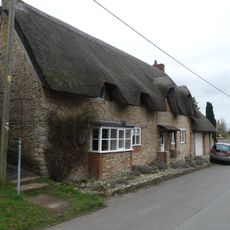
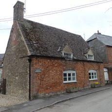
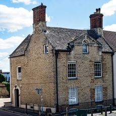
Great Faringdon, civil parish in Vale of White Horse, Oxfordshire, England
Emplacement : Vale of White Horse
Partage une frontière avec : Littleworth, Clanfield, Grafton and Radcot, Eaton Hastings, Great Coxwell, Little Coxwell, Shellingford, Stanford in the Vale
Site web : https://faringdontowncouncil.gov.uk
Coordonnées GPS : 51.66000,-1.58400
Dernière mise à jour : 3 mars 2025 à 21:33
Great Coxwell Barn
2.6 km
Radcot Bridge
3.7 km
Old Man's Bridge
4.6 km
Grafton Lock
3.9 km
Old Town Hall
201 m
Corn Exchange
236 m
Faringdon Tomb Approximately 3 Metres To West Of St Michael's Church
3.8 km
Church of St Mary
2.3 km
Church of All Saints
45 m
Church of St Michael
3.8 km
Church of St Giles
3 km
Chapel House
2.9 km
The Bell Inn
227 m
The Crown Hotel
176 m
Manor Cottage
2.8 km
Danes House
2.8 km
Canal Bridge, Radcot
3.7 km
Pear Tree Cottage
3.1 km
Lord Berner's Folly
875 m
Holloway And Attached Railings
2.7 km
Shelter shed with granary
2.6 km
Front garden wall to Danes House
2.8 km
K6 telephone kiosk to south of Chapel House
2.8 km
Milestone, London Street; 30m S of Stanford Road, by The Folly Inn PH
450 m
Court House Farmhouse
2.7 km
Wayside
2.9 km
Greens' Farmhouse
3.1 km
The Old Vicarage
120 mVous avez visité ce lieu ? Touchez les étoiles pour le noter et partager votre expérience ou vos photos avec la communauté ! Essayez maintenant ! Vous pouvez annuler à tout moment.
Trouvez des trésors cachés à chaque coin de rue !
Des petits cafés pittoresques aux points de vue planqués, fuyez la foule et dénichez les lieux qui vous ressemblent vraiment. Notre app vous facilite la vie : recherche vocale, filtres malins, itinéraires optimisés et bons plans partagés par des voyageurs du monde entier. Téléchargez vite pour vivre l'aventure en version mobile !
Une approche inédite de la découverte touristique❞
— Le Figaro
Tous les lieux qui valent la peine d'être explorés❞
— France Info
Une excursion sur mesure en quelques clics❞
— 20 Minutes