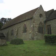
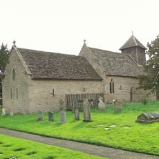
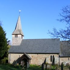
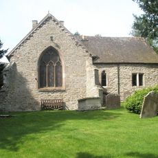
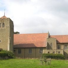
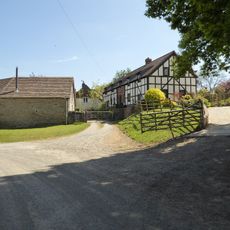
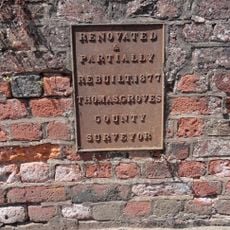
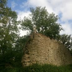
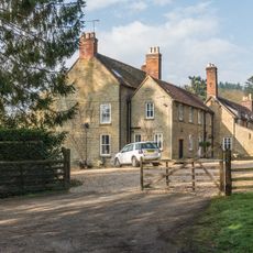
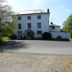
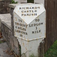
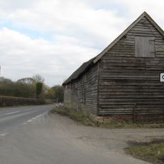
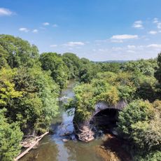
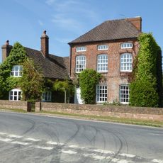
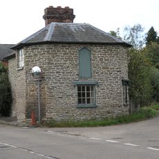
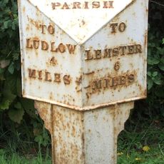
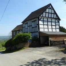
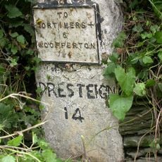
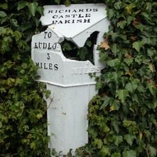
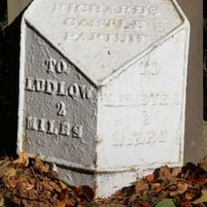
Richard's Castle, civil parish in Shropshire, England
Emplacement : Shropshire
Coordonnées GPS : 52.33170,-2.74292
Dernière mise à jour : 9 mars 2025 à 17:54
St Bartholomew's Church
1.1 km
Church of St Mary
3.1 km
Church of St Andrew
2.5 km
Church of St Giles
3.9 km
Church of All Saints
40 m
Church House
1.1 km
Ashford Bridge At Ngr So 5200 7113
2.6 km
Richard's Castle
1.1 km
Whitcliffe Hill
3.9 km
Tower about 10 metres east of Church of St Bartholomew
1.1 km
House At The Entrance To The Lodge
2 km
Gates And Piers And Walls To South West Of House At Entrance To The Lodge
1.9 km
Charlton House Garden House Ludford House St Giles House
3.9 km
Overton
1.5 km
Gates and piers to north of lodge to Moor Park
1.4 km
Church House Including Service Wings
2.4 km
Milepost at NGR SO 5099 7305
2.8 km
Barn About 10 Metres North Of Comberton Farmhouse
2.9 km
Teme Aqueduct At Ngr So 5368 6878 (That Part In Richards Castle Cp)
4.6 km
Whitcliffe Hill And Attached Wall
3.9 km
The Serpent
4 km
Policeman's Corner
2.4 km
Milepost, Bilbury Cottage , opp. sewage pumping station
1.6 km
Green Farmhouse
1 km
Milestone, Comberton; 30m E jcn Orleton turn
2.9 km
Milepost, Rose House
163 m
Milepost, Overton
1.5 km
Milestone, Woofferton; 15m E Turnpike Cottage
3 kmVous avez visité ce lieu ? Touchez les étoiles pour le noter et partager votre expérience ou vos photos avec la communauté ! Essayez maintenant ! Vous pouvez annuler à tout moment.
Trouvez des trésors cachés à chaque coin de rue !
Des petits cafés pittoresques aux points de vue planqués, fuyez la foule et dénichez les lieux qui vous ressemblent vraiment. Notre app vous facilite la vie : recherche vocale, filtres malins, itinéraires optimisés et bons plans partagés par des voyageurs du monde entier. Téléchargez vite pour vivre l'aventure en version mobile !
Une approche inédite de la découverte touristique❞
— Le Figaro
Tous les lieux qui valent la peine d'être explorés❞
— France Info
Une excursion sur mesure en quelques clics❞
— 20 Minutes