
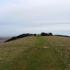
Bowl barrow on western summit of Combe Hill, bowl barrow in Eastbourne, East Sussex, England, UK
Emplacement : Eastbourne
Coordonnées GPS : 50.79830,0.23163
Dernière mise à jour : 7 juin 2025 à 12:03
Neolithic causewayed enclosure on Combe Hill
125 m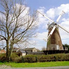
Ovenden's Mill
2 km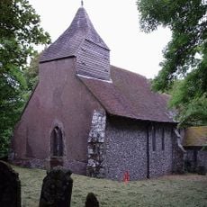
The Parish Church of Saint Peter
2.1 km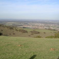
Willingdon Down
603 m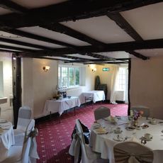
Chalk Farm Hotel
1.3 km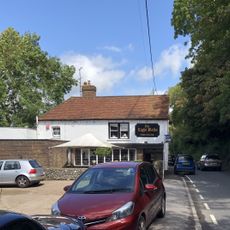
The Eight Bells Inn
1.2 km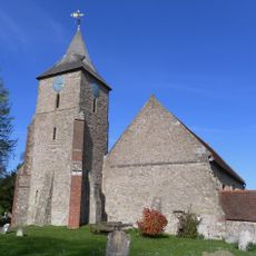
The Parish Church of St Mary the Virgin, Willingdon
1.6 km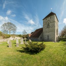
Église Saint-André de Jevington
1.4 km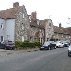
32-38, Church Street
1.6 km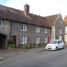
28 and 30, Church Street
1.6 km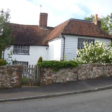
Malthouse Cottage, Old Barn Close
1.4 km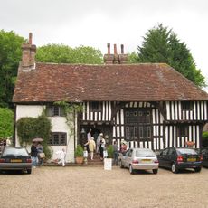
Filching Manor
880 m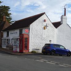
Post Office
1.4 km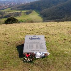
44th Bombardment Group Memorial, Butts Brow
1.1 km
No 14 (The Cottage) Garden Wall To The North West Of The Cottage And Outhouse Adjoining Wall
1.4 km
Sea View (Opposite Post Office)
1.4 km
Stream Cottage (Opposite Red Lion Public House)
1.4 km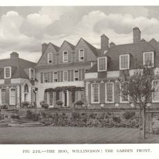
The Hoo
1.5 km
67 And 69, Upper King's Drive
1.4 km
Hungry Monk Restaurant Monk's Rest
1.4 km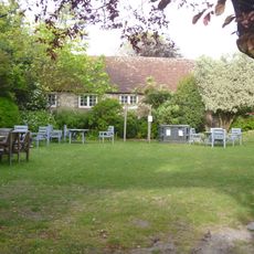
Barn Adjoining Chalk Farm Hotel On The South
1.3 km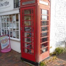
K6 Telephone Kiosk
1.4 km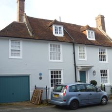
St Wilfred's
1.5 km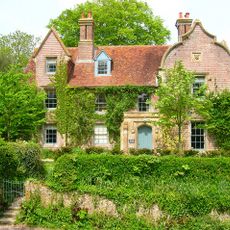
The Old Rectory
2.2 km
91-97, Wish Hill
1.4 km
Rippingtons
1.9 km
122, 124 And 126, Wish Hill
1.4 km
Elm Tree Cottage
1.8 kmAvis
Vous avez visité ce lieu ? Touchez les étoiles pour le noter et partager votre expérience ou vos photos avec la communauté ! Essayez maintenant ! Vous pouvez annuler à tout moment.
Trouvez des trésors cachés à chaque coin de rue !
Des petits cafés pittoresques aux points de vue planqués, fuyez la foule et dénichez les lieux qui vous ressemblent vraiment. Notre app vous facilite la vie : recherche vocale, filtres malins, itinéraires optimisés et bons plans partagés par des voyageurs du monde entier. Téléchargez vite pour vivre l'aventure en version mobile !

Une approche inédite de la découverte touristique❞
— Le Figaro
Tous les lieux qui valent la peine d'être explorés❞
— France Info
Une excursion sur mesure en quelques clics❞
— 20 Minutes