
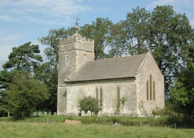
Church of St Giles, église britannique
Emplacement : Hampton Gay and Poyle
Coordonnées GPS : 51.84460,-1.29799
Dernière mise à jour : 4 mars 2025 à 22:39
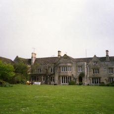
The Manor Studio
495 m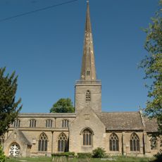
Church of St Mary
2.1 km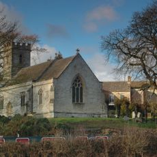
Church of Holy Cross
437 m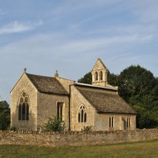
Church of St Mary
1.7 km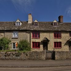
78, Church Street
2.1 km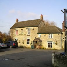
The Boat Public House
758 m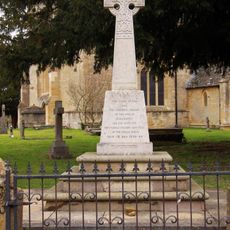
Kidlington and Hamlets War Memorial
2.1 km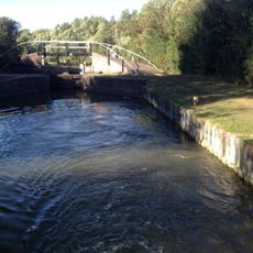
Bridge At Shipton Weir Lock, Oxford Canal
608 m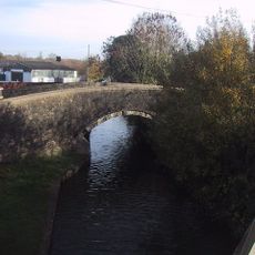
Canal Bridge Approximately 60 Metres West Of The Rock Of Gibraltar Public House
1.8 km
Shipton Lift Bridge (219) Sp 4850 1675, Oxford Canal
307 m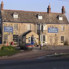
Rock Of Gibraltar Public House
1.8 km
Thrupp Yard Cottages and attched outbuilding
556 m
The Manor and attached outbuildings
485 m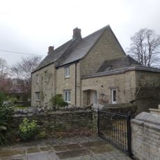
Old Priest's House
2.1 km
Ruins of Manor House
168 m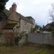
The Old Manor House
1.9 km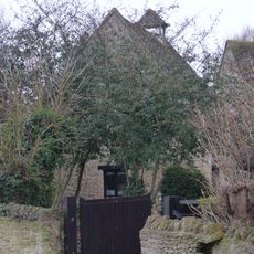
Dovecote and granary approximately 15 metres east of Manor Farmhouse
575 m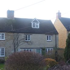
Glendale
2.1 km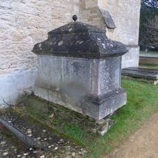
Chest tomb approximately 1/2 metre west of Church of St Mary
2.1 km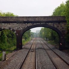
Railway Bridge At Sp 4832 1529
1.2 km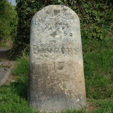
Milestone On Banbury Road, Kidlington
1.8 km
Poyle Court
1.9 km
Model Farmhouse
2 km
Manor Farmhouse
428 m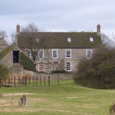
Manor Farmhouse
1.6 km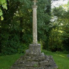
Shipton-on-Cherwell churchyard cross
438 m
Outbuilding approximately 5 metres north west of Manor Farmhouse
1.6 km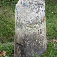
Milestone, Banbury Road; by No.118 & 120
1.8 kmVous avez visité ce lieu ? Touchez les étoiles pour le noter et partager votre expérience ou vos photos avec la communauté ! Essayez maintenant ! Vous pouvez annuler à tout moment.
Trouvez des trésors cachés à chaque coin de rue !
Des petits cafés pittoresques aux points de vue planqués, fuyez la foule et dénichez les lieux qui vous ressemblent vraiment. Notre app vous facilite la vie : recherche vocale, filtres malins, itinéraires optimisés et bons plans partagés par des voyageurs du monde entier. Téléchargez vite pour vivre l'aventure en version mobile !

Une approche inédite de la découverte touristique❞
— Le Figaro
Tous les lieux qui valent la peine d'être explorés❞
— France Info
Une excursion sur mesure en quelques clics❞
— 20 Minutes