
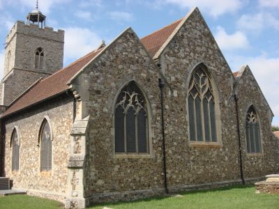
The Church of St Mary, church building in Wivenhoe, United Kingdom
Emplacement : Wivenhoe
Coordonnées GPS : 51.85500,0.95937
Dernière mise à jour : 7 mars 2025 à 06:59
Wivenhoe Park
2.6 km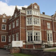
Wivenhoe House
2.7 km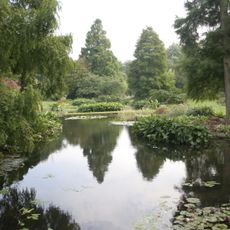
Beth Chatto Gardens
3.8 km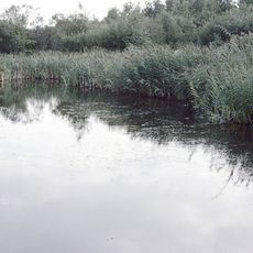
Fingringhoe Wick
2.4 km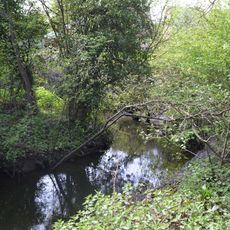
Salary Brook Local Nature Reserve
3.6 km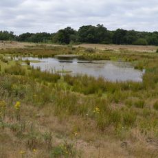
Cockaynes Wood
1.5 km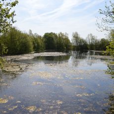
Wivenhoe Gravel Pit
2.2 km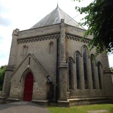
Church of St Lawrence
903 m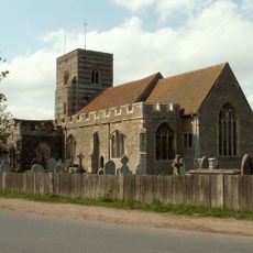
Church of St Andrew
1.5 km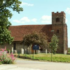
Church of St Andrew
4 km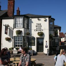
The Rose And Crown Public House
57 m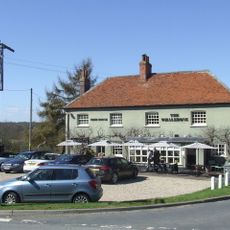
Whalebone Public House
1.5 km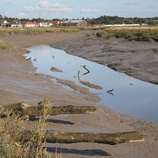
Upper Colne Marshes
1.5 km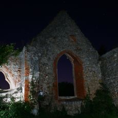
Remains of St Peter's Church, 460m south of Church Farm
2.7 km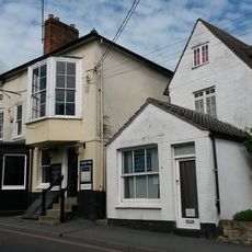
The Greyhound Public House
162 m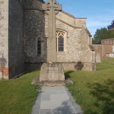
Alresford War Memorial
2.8 km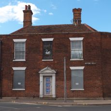
100, Hythe Hill
4 km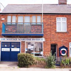
The Nottage
72 m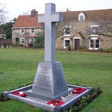
Elmstead War Memorial
3.8 km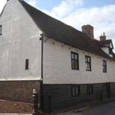
Old Garrison House
39 m
27, West Street
86 m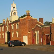
Wivenhoe Park, Stable Block
2.7 km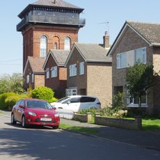
Wivenhoe Water Tower
1.2 km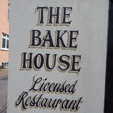
The Old Bakehouse
46 m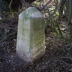
Milestone On South Verge Approximately 100 Metres East Of Junction With Heath Road
3.5 km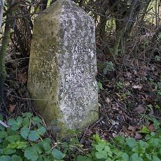
Milestone On Western Verge Approximately 100 Metres South East Of Junction With Cockaynes Lane
2.7 km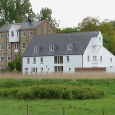
Moulin de Fingringhoe
1.3 km
Milestone, St Osyth Road, 100m S Cockaynes Lane.
2.6 kmVous avez visité ce lieu ? Touchez les étoiles pour le noter et partager votre expérience ou vos photos avec la communauté ! Essayez maintenant ! Vous pouvez annuler à tout moment.
Trouvez des trésors cachés à chaque coin de rue !
Des petits cafés pittoresques aux points de vue planqués, fuyez la foule et dénichez les lieux qui vous ressemblent vraiment. Notre app vous facilite la vie : recherche vocale, filtres malins, itinéraires optimisés et bons plans partagés par des voyageurs du monde entier. Téléchargez vite pour vivre l'aventure en version mobile !

Une approche inédite de la découverte touristique❞
— Le Figaro
Tous les lieux qui valent la peine d'être explorés❞
— France Info
Une excursion sur mesure en quelques clics❞
— 20 Minutes