
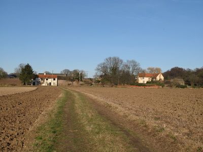
Cooks Hall, house in West Bergholt, Colchester, England, UK
Emplacement : West Bergholt
Coordonnées GPS : 51.91070,0.83369
Dernière mise à jour : 5 mars 2025 à 10:32
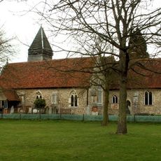
Old St Mary's Church, West Bergholt
782 m
Lexden Gathering Grounds
2.5 km
Church of All Saints
2.4 km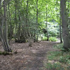
Iron Latch
1.5 km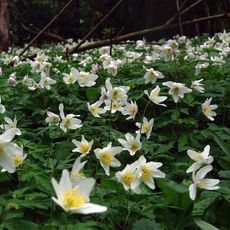
Westhouse Wood
2.4 km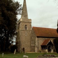
Church of St Margaret and St Catherine
3.6 km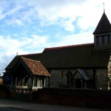
Parish Church of St Albright
3.2 km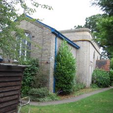
Church of St John
3.7 km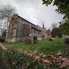
Church of St Leonard
3.1 km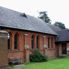
All Saints Church
1.8 km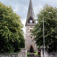
St Michael's Church
4 km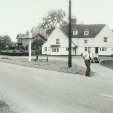
The Shoulder Of Mutton Public House
3 km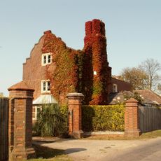
Westwood Park (old Peoples Home)
2.9 km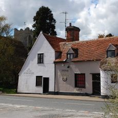
The Three Horseshoes Public House
2.3 km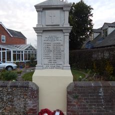
Fordham war memorial
2.5 km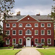
West Bergholt Hall
727 m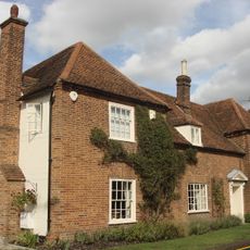
Beaconhead Farmhouse
2.6 km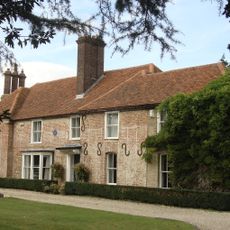
Catchbells
3.1 km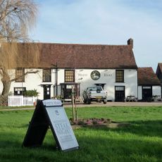
The White Hart Public House
1.4 km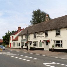
The Queen's Head Public House
3 km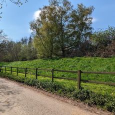
Moat Farm Dyke: a northern extension of Lexden Dyke; part of the Iron Age territorial oppidum and Romano-British town of Camulod
2.8 km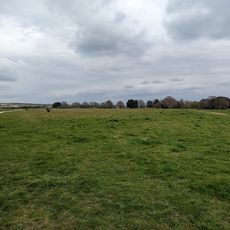
Site of pre-Roman settlement
4 km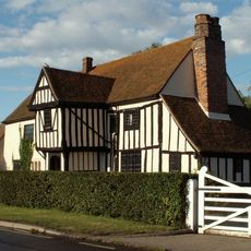
Jenkins Farmhouse
3.9 km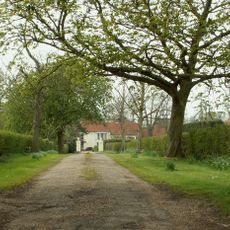
Crepping Hall
4.2 km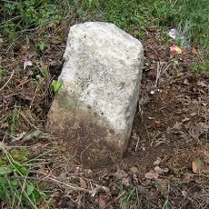
Milestone, Nayland Road, West Bergholt
1.7 km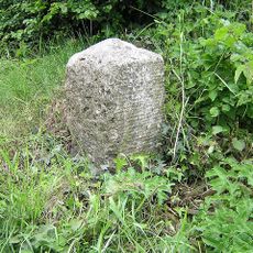
Milestone, London Road, Knights Farm
3.2 km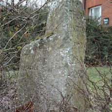
Milestone, Lexden Road
2.8 km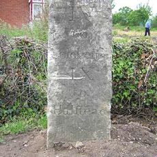
Milestone, Milestone Farm, Halstead Road
1.9 kmVous avez visité ce lieu ? Touchez les étoiles pour le noter et partager votre expérience ou vos photos avec la communauté ! Essayez maintenant ! Vous pouvez annuler à tout moment.
Trouvez des trésors cachés à chaque coin de rue !
Des petits cafés pittoresques aux points de vue planqués, fuyez la foule et dénichez les lieux qui vous ressemblent vraiment. Notre app vous facilite la vie : recherche vocale, filtres malins, itinéraires optimisés et bons plans partagés par des voyageurs du monde entier. Téléchargez vite pour vivre l'aventure en version mobile !

Une approche inédite de la découverte touristique❞
— Le Figaro
Tous les lieux qui valent la peine d'être explorés❞
— France Info
Une excursion sur mesure en quelques clics❞
— 20 Minutes