
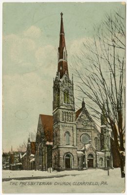
Clearfield Presbyterian Church
Emplacement : Clearfield
Site web : https://clearfieldpresbyterian.org
Coordonnées GPS : 41.02424,-78.43765
Dernière mise à jour : 3 mars 2025 à 18:59

Quehanna Wild Area
31.7 km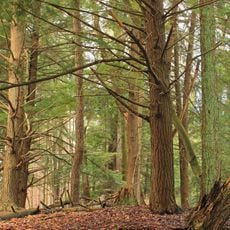
Parc d'État de Parker Dam
20.6 km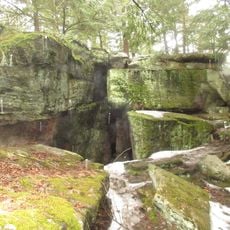
Bilger's Rocks
13.5 km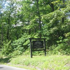
Moshannon State Forest
23.5 km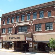
Rowland Theater
22.9 km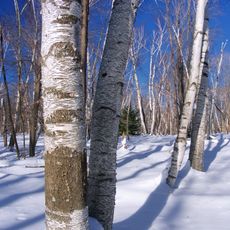
Marion Brooks Natural Area
30.7 km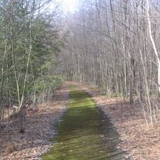
Wykoff Run Natural Area
30.8 km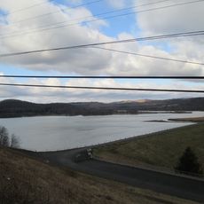
Curwensville Lake
10.8 km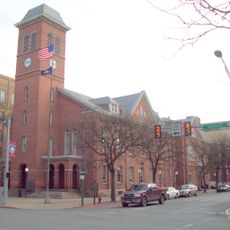
Clearfield County Courthouse
225 m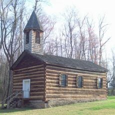
St. Severin's Old Log Church
27.5 km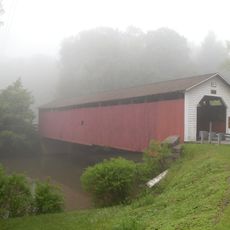
McGees Mills Covered Bridge
31.9 km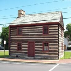
Philipsburg Historic District
23.2 km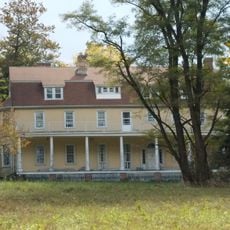
Hardman Philips House
23.5 km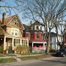
Old Town Historic District
301 m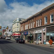
DuBois Historic District
29.3 km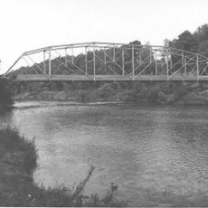
Hogback Bridge
7.2 km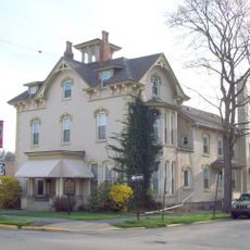
Thomas Murray House
473 m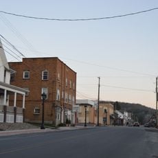
Coalport Historic District
31.9 km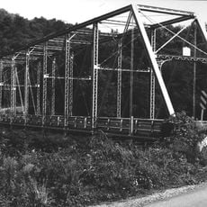
Bridge in Greenwood Township
21.7 km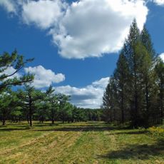
Parc d'État S. B. Elliott
12.3 km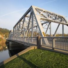
Market Street Bridge
429 m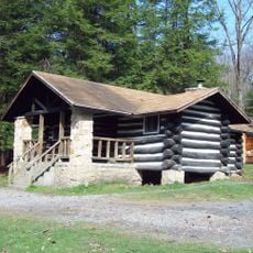
Parker Dam State Park Family Cabin District
20.4 km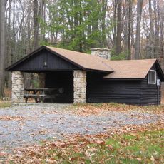
S. B. Elliott State Park Family Cabin District
12.2 km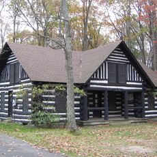
S. B. Elliott State Park Day Use District
12.3 km
Black Moshannon State Park Day Use District
34 km
Black Moshannon State Park Family Cabin District
33.8 km
Parker Dam State Park-Parker Dam District
20.3 km
Black Moshannon State Park Maintenance District
32.7 kmVous avez visité ce lieu ? Touchez les étoiles pour le noter et partager votre expérience ou vos photos avec la communauté ! Essayez maintenant ! Vous pouvez annuler à tout moment.
Trouvez des trésors cachés à chaque coin de rue !
Des petits cafés pittoresques aux points de vue planqués, fuyez la foule et dénichez les lieux qui vous ressemblent vraiment. Notre app vous facilite la vie : recherche vocale, filtres malins, itinéraires optimisés et bons plans partagés par des voyageurs du monde entier. Téléchargez vite pour vivre l'aventure en version mobile !

Une approche inédite de la découverte touristique❞
— Le Figaro
Tous les lieux qui valent la peine d'être explorés❞
— France Info
Une excursion sur mesure en quelques clics❞
— 20 Minutes