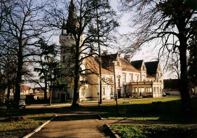
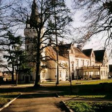
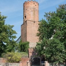
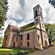
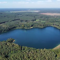
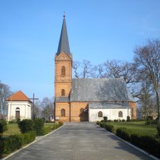
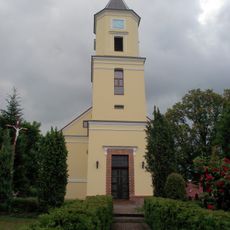
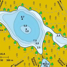
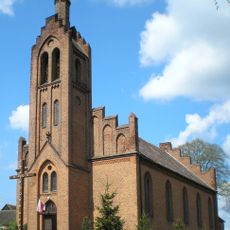
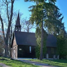
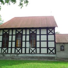
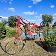
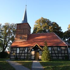
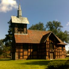
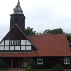
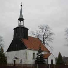
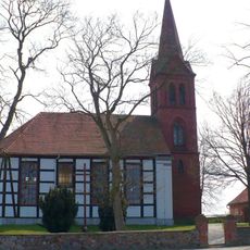
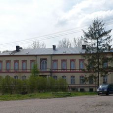
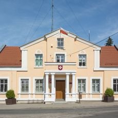
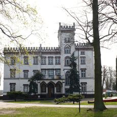
Toporów, village de Pologne
La communauté des voyageurs curieux
AroundUs rassemble des milliers de lieux sélectionnés, conseils locaux et pépites cachées, enrichis chaque jour par plus de 60,000 contributeurs à travers le monde.
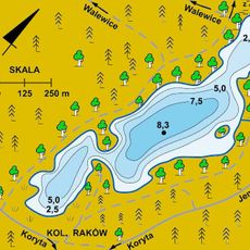
Emplacement
Création
1 avril 1991
Altitude
110 m
Coordonnées GPS
52.26528,15.25972
Dernière mise à jour
6 mars 2025 à 01:21