
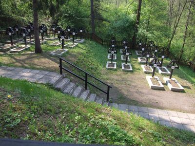
World War I Cemetery nr 365 in Tymbark, World War I Cemetery in Lesser Poland Voivodeship, Poland
Emplacement : Tymbark
Création : 1914
Coordonnées GPS : 49.72890,20.32070
Dernière mise à jour : 25 septembre 2025 à 08:39
Łopień
5.7 km
Kostrza
5 km
Paproć (Beskid Wyspowy)
2.2 km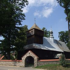
Saints Simon and Jude church in Dobra
5.7 km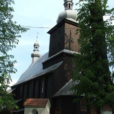
All Saints church in Łososina Górna
5.1 km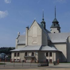
Our Lady of the Scapular church in Dobra
5.6 km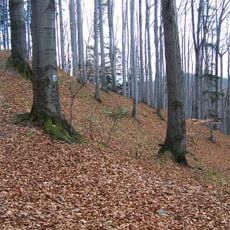
Nature reserve Kostrza
5.3 km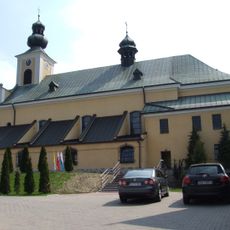
Kościół Narodzenia Najświętszej Maryi Panny w Tymbarku
231 m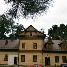
Manor in Tymbark
929 m
Zęzów
2 km
Świerczek (Słopnice)
4.6 km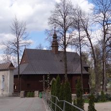
Saint Andrew church in Słopnice
3.9 km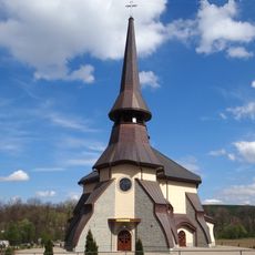
Saint John Paul II church in Słopnice
4 km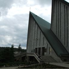
Our Lady of Consolation church in Pasierbiec
5.4 km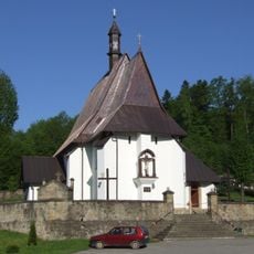
Invention of the Holy Cross church in Nowe Rybie
5.4 km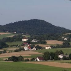
Świnna
4.4 km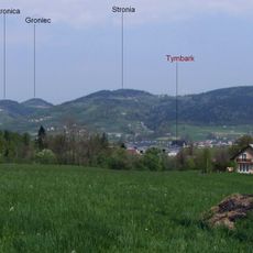
Groniec
3.1 km
Łopień Środkowy
4.2 km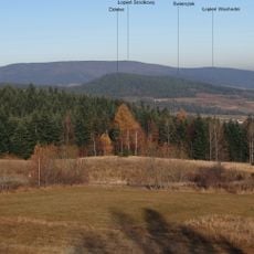
Łopień Wschodni
2.7 km
Pomnik Legionistów w Łososinie Górnej
5 km
Stronica (Beskid Wyspowy)
2.7 km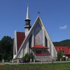
Kościół Miłosierdzia Bożego w Podłopieniu
2.4 km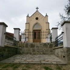
Kaplica Świętego Krzyża
168 m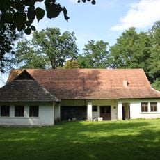
Dwór w Słopnicach
4.1 km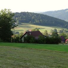
Pęczakówka
4 km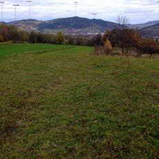
Stronia (Beskid Wyspowy)
2.3 km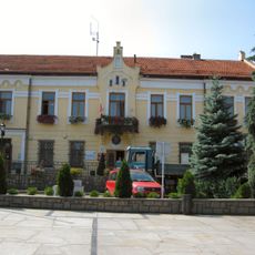
Ratusz w Tymbarku
275 m
TSR Góra Podłopień
1.6 kmVous avez visité ce lieu ? Touchez les étoiles pour le noter et partager votre expérience ou vos photos avec la communauté ! Essayez maintenant ! Vous pouvez annuler à tout moment.
Trouvez des trésors cachés à chaque coin de rue !
Des petits cafés pittoresques aux points de vue planqués, fuyez la foule et dénichez les lieux qui vous ressemblent vraiment. Notre app vous facilite la vie : recherche vocale, filtres malins, itinéraires optimisés et bons plans partagés par des voyageurs du monde entier. Téléchargez vite pour vivre l'aventure en version mobile !

Une approche inédite de la découverte touristique❞
— Le Figaro
Tous les lieux qui valent la peine d'être explorés❞
— France Info
Une excursion sur mesure en quelques clics❞
— 20 Minutes