
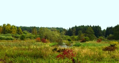
Vilnia Hydrographical Reserve
Emplacement : Vilnius District Municipality
Coordonnées GPS : 54.73889,25.56028
Dernière mise à jour : 25 septembre 2025 à 08:40
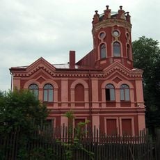
Arvydai-Bezdonys Manor
7.1 km
Jardin botanique de l'université de Vilnius
10.1 km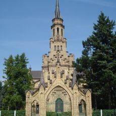
Church of St. Casimir, Naujoji Vilnia
10.7 km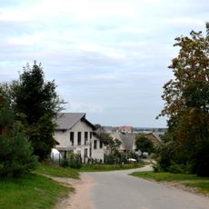
Rokantiškės
12 km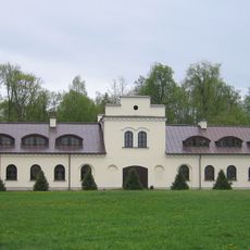
Kairėnai Manor
10.1 km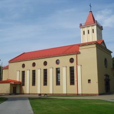
Church of the Blessed Virgin Mary, Queen of Peace, Naujoji Vilnia
11.3 km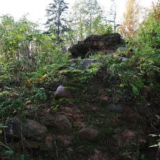
Rokantiškės Castle
12.2 km
Wysmałki
9.6 km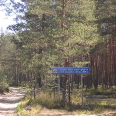
Taurija Ornitological Reserve
4 km
Dvarcionys Geomorphological Reserve
11.1 km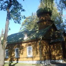
Église orthodoxe Saint-Pierre-et-Saint-Paul
11.5 km
Rokantiškės hillfort
11.6 km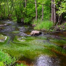
Verzuva Hydrographical Reserve
11.1 km
Church of the Assumption, Mickūnai
5.1 km
Church of Our Lady of the Gate of Dawn, Mother of Mercy, Bezdonys
7.5 km
Tapeliai Landscape Reserve
8.6 km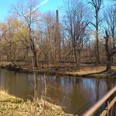
Naujoji Vilnia Park
10.2 km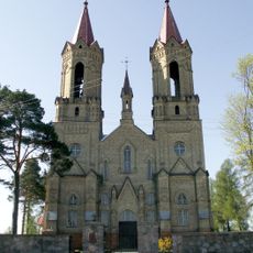
Church of St. John the Baptist, Lavoriškės
6.1 km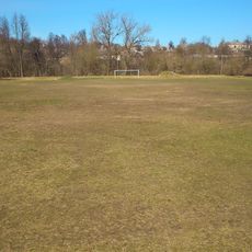
Naujoji Vilnia Old Stadium
10.2 km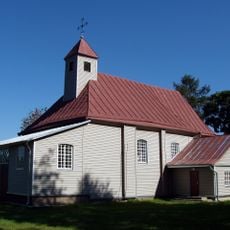
Church of Our Lady of the Gate of Dawn, Kena
10.9 km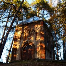
Radziszewski family chapel, Antaviliai
12.2 km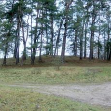
Lavoriškės hillfort
6.1 km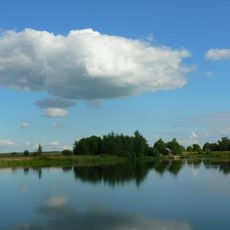
Kyviškių tvenkinys
8.5 km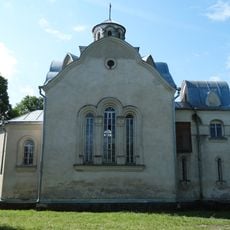
Chapel in Vėliučionys
11.5 km
Chapel in Mostiškės
8.2 km
Old chapel, Mostiškės
7.7 km
Baniškių pilkapynas
11.9 km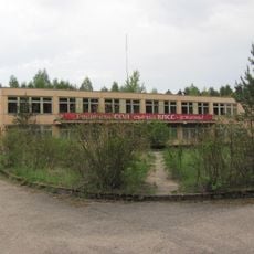
Soviet Bunker museum
10.4 kmAvis
Vous avez visité ce lieu ? Touchez les étoiles pour le noter et partager votre expérience ou vos photos avec la communauté ! Essayez maintenant ! Vous pouvez annuler à tout moment.
Trouvez des trésors cachés à chaque coin de rue !
Des petits cafés pittoresques aux points de vue planqués, fuyez la foule et dénichez les lieux qui vous ressemblent vraiment. Notre app vous facilite la vie : recherche vocale, filtres malins, itinéraires optimisés et bons plans partagés par des voyageurs du monde entier. Téléchargez vite pour vivre l'aventure en version mobile !

Une approche inédite de la découverte touristique❞
— Le Figaro
Tous les lieux qui valent la peine d'être explorés❞
— France Info
Une excursion sur mesure en quelques clics❞
— 20 Minutes