
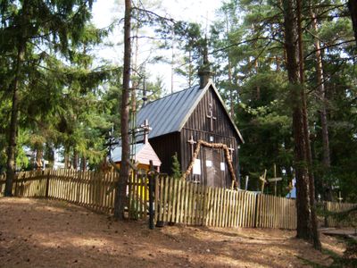
Panų kalnas chapel
Emplacement : Pasruojė
Coordonnées GPS : 56.10246,22.12157
Dernière mise à jour : 25 septembre 2025 à 08:40
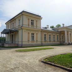
Renavas Manor
14.5 km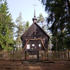
Panų kalnas
91 m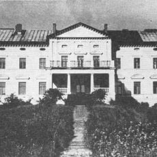
Plinkšės Manor
5.4 km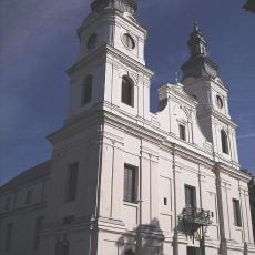
Church of the Visitation, Žemaičių Kalvarija
6.9 km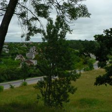
Džiuginėnai hillfort
13.8 km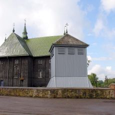
Church of the Assumption, Seda
7.1 km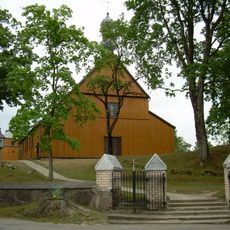
Church of the Immaculate Conception, Alsėdžiai
9.3 km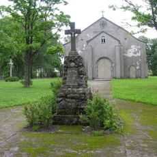
Church of St. Isidore, Renavas
14.8 km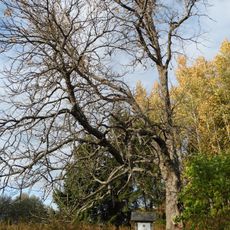
Paparčių kaštonas
13.2 km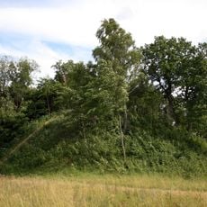
Šarnelė hillfort
10.7 km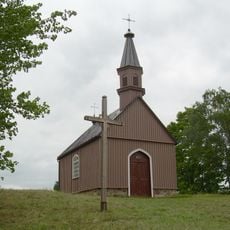
Žemaičių Kalvarijos piliakalnis
6.9 km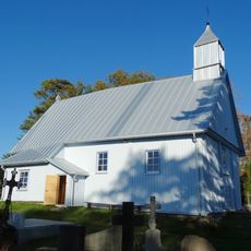
Chapel in Grūstė
11.8 km
Puokės alkakalnis
14.4 km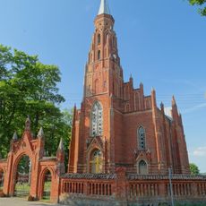
Church of the Sacred Heart of Jesus in Gadūnavas
7.1 km
Gegrėnų piliakalnis
11.7 km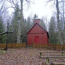
Sorai chapel
10.5 km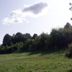
Rimoliai hillfort
9.8 km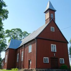
Church of Crucified Jesus, Nevarėnai
10.2 km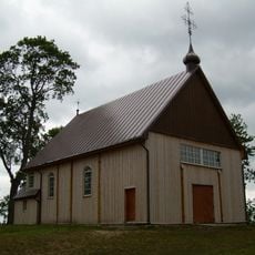
Church of Jesus of Nazareth in Gegrėnai
12.3 km
Buožėnų piliakalnis
8.4 km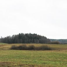
Pūčkorių 1 hillfort
13.4 km
Girkantų piliakalnis
9.6 km
Žernių piliakalnis
9.9 km
Rotinėnų piliakalnis
6.5 km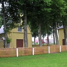
Church of St. Roch, Rubikai
10.4 km
Alsėdžiai cemetery chapel
9.9 km
Alsėdžiai churchyard chapel
9.4 km
Church of St. John of Nepomuk, Seda
7.8 kmVous avez visité ce lieu ? Touchez les étoiles pour le noter et partager votre expérience ou vos photos avec la communauté ! Essayez maintenant ! Vous pouvez annuler à tout moment.
Trouvez des trésors cachés à chaque coin de rue !
Des petits cafés pittoresques aux points de vue planqués, fuyez la foule et dénichez les lieux qui vous ressemblent vraiment. Notre app vous facilite la vie : recherche vocale, filtres malins, itinéraires optimisés et bons plans partagés par des voyageurs du monde entier. Téléchargez vite pour vivre l'aventure en version mobile !

Une approche inédite de la découverte touristique❞
— Le Figaro
Tous les lieux qui valent la peine d'être explorés❞
— France Info
Une excursion sur mesure en quelques clics❞
— 20 Minutes