
Boundary stone 110m north west of St Mary's Church, boundary marker in Sticklepath, West Devon, England, UK
Emplacement : Sticklepath
Fait partie de : political border
Coordonnées GPS : 50.73080,-3.93003
Dernière mise à jour : 9 mars 2025 à 09:01

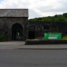
Finch Foundry
296 m
National Trust - Finch Foundry
296 m
Methodist Chapel
168 m
Taw River Inn
327 m
Post Office
331 m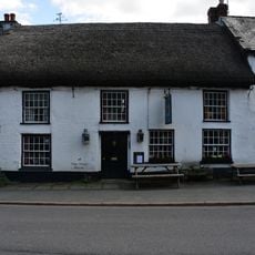
Devonshire Inn
268 m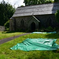
St Mary's Church
105 m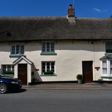
The Dairy And Adjoining Cottage To Its East
297 m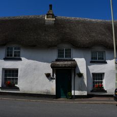
Tudor Cottage
289 m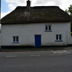
Chantry's Cottage
242 m
The Old Cottage
127 m
Carbery And Bracon Cottages And Adjoining Cottage To East
271 m
Foundry Cottage
277 m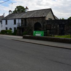
Finch Foundry Foundry House
303 m
Staplers The Heritage
186 m
Sunnyside Cottage
311 m
Sticklepath Bridge
478 m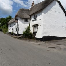
The Kings Arms
1.2 km
Yellands
1.2 km
Ford Farmhouse
767 m
Sunnyside With Attached Outbuildings
211 m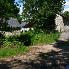
Barn Approximately 1.5 Metres North Of Ford Farmhouse
749 m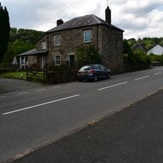
Primula House
385 m
Cleave House
78 m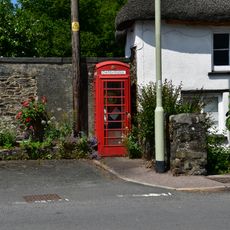
K6 Telephone Kiosk Opposite Finchs Foundry
265 m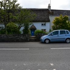
Silverlake
411 m
Taw Leat And Cottage Adjoining To Left
423 m
Milestone, by drive of Trafalgar House, S end of Sticklepath
719 mVous avez visité ce lieu ? Touchez les étoiles pour le noter et partager votre expérience ou vos photos avec la communauté ! Essayez maintenant ! Vous pouvez annuler à tout moment.
Trouvez des trésors cachés à chaque coin de rue !
Des petits cafés pittoresques aux points de vue planqués, fuyez la foule et dénichez les lieux qui vous ressemblent vraiment. Notre app vous facilite la vie : recherche vocale, filtres malins, itinéraires optimisés et bons plans partagés par des voyageurs du monde entier. Téléchargez vite pour vivre l'aventure en version mobile !

Une approche inédite de la découverte touristique❞
— Le Figaro
Tous les lieux qui valent la peine d'être explorés❞
— France Info
Une excursion sur mesure en quelques clics❞
— 20 Minutes