
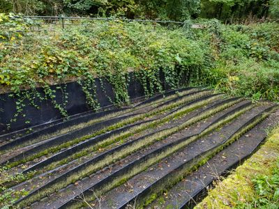
Flash Road aqueduct, aqueduct in London Borough of Enfield, London, England, UK
Emplacement : London Borough of Enfield
Coordonnées GPS : 51.67760,-0.08798
Dernière mise à jour : 3 mars 2025 à 20:27
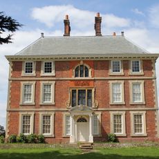
Forty Hall
1.6 km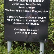
Western Cemetery
1.9 km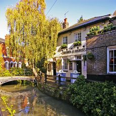
Crown and Horseshoes
2.4 km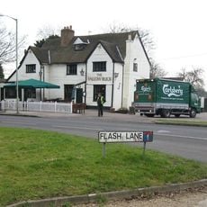
Fallow Buck Inn
668 m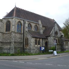
St Michael & All Angels, Enfield
1.8 km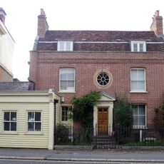
172 And 174, Baker Street
2.1 km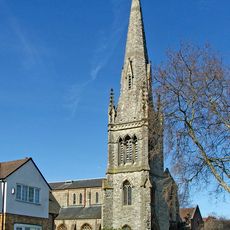
Christ Church United Reformed Church
2.2 km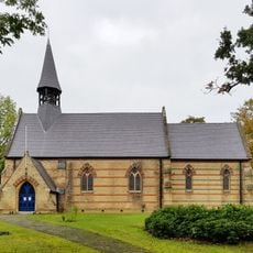
Church of St John the Baptist
672 m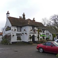
The King And Tinker Public House
860 m
The Pied Bull Public House
2 km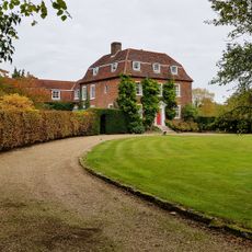
Theobalds Manor
1.8 km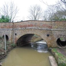
Maidens Bridge
2 km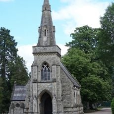
Eastern (Anglican) Cemetery Chapel At Lavender Hill Gardens Of Remembrance
1.3 km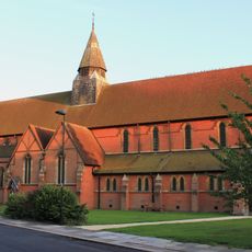
Church of St Luke the Evangelist Parish Room Attached to Church of St Luke the Evangelist
1.1 km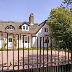
The Hermitage and Stable Building to The Hermitage
1.7 km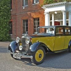
Capel House
2.1 km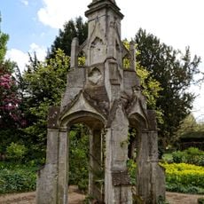
Market Cross in the grounds of Myddelton House
1.9 km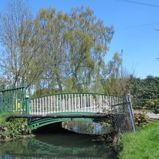
Bridge Over New River
2.2 km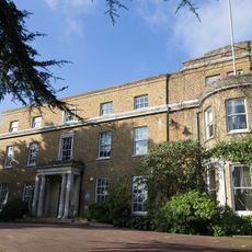
Myddelton House
1.9 km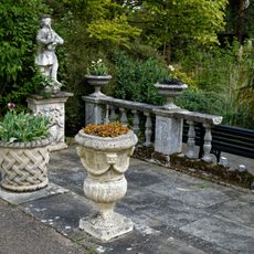
Lake Terrace In The Grounds Of Myddelton House
1.9 km
Enfield Court (Enfield Grammar School Junior School)
2.4 km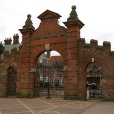
Screen wall, gateway and north pavilions to west of Forty Hall
1.6 km
Co-operative Store
1.9 km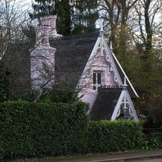
South Lodge
644 m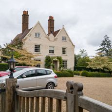
Glasgow Stud Farmhouse
1.1 km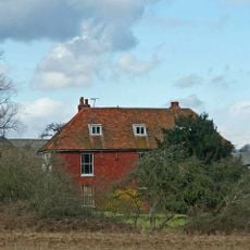
Whitewebbs Farmhouse
858 m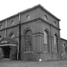
Whitewebbs pumping station
546 m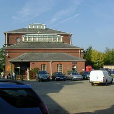
Whitewebbs Museum of Transport
546 mVous avez visité ce lieu ? Touchez les étoiles pour le noter et partager votre expérience ou vos photos avec la communauté ! Essayez maintenant ! Vous pouvez annuler à tout moment.
Trouvez des trésors cachés à chaque coin de rue !
Des petits cafés pittoresques aux points de vue planqués, fuyez la foule et dénichez les lieux qui vous ressemblent vraiment. Notre app vous facilite la vie : recherche vocale, filtres malins, itinéraires optimisés et bons plans partagés par des voyageurs du monde entier. Téléchargez vite pour vivre l'aventure en version mobile !

Une approche inédite de la découverte touristique❞
— Le Figaro
Tous les lieux qui valent la peine d'être explorés❞
— France Info
Une excursion sur mesure en quelques clics❞
— 20 Minutes