
Section of Roman road on Gidea Park golf course, archaeological site in London Borough of Havering, Greater London, England, UK
Emplacement : London Borough of Havering
Coordonnées GPS : 51.59000,0.20115
Dernière mise à jour : 14 avril 2025 à 05:32
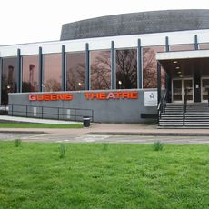
Queen's Theatre
3 km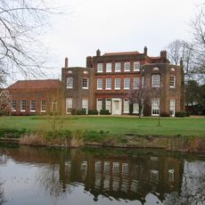
Langtons
2.9 km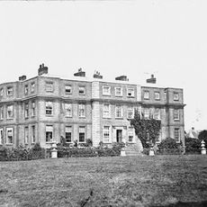
Gidea Hall
541 m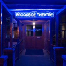
Brookside Theatre
1.9 km
Bedfords Park
2.2 km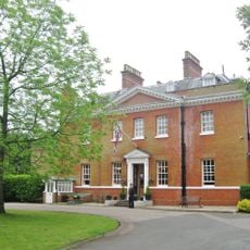
Bower House
2.8 km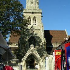
Parish Church of St Edward the Confessor
1.9 km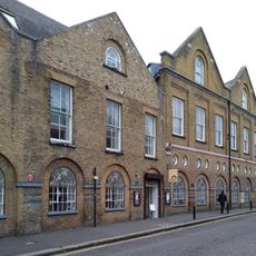
Havering Museum
2 km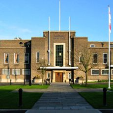
Havering Town Hall
1.5 km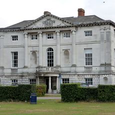
Hare Hall
789 m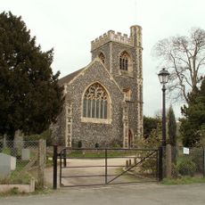
Church of St John the Evangelist, Havering-atte-Bower
3.2 km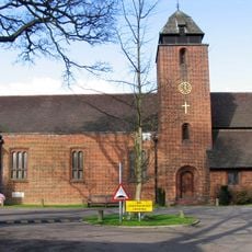
St Michael and All Angels Church, Gidea Park
301 m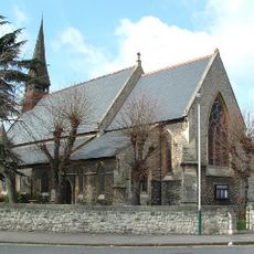
Church of St Andrew
2.5 km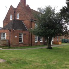
The Morris Dancer Public House
2.3 km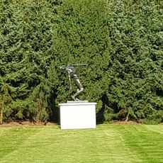
The Falling Man
2.9 km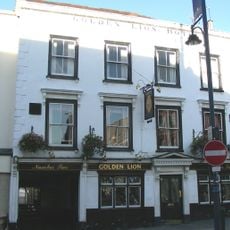
The Golden Lion The Golden Lion Public House
1.9 km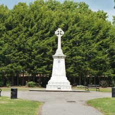
Romford War Memorial
1.5 km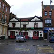
The Lamb Public House
1.9 km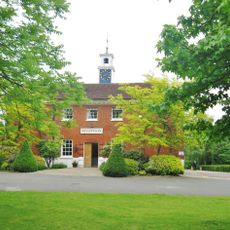
Stable Block At The Bower House
2.8 km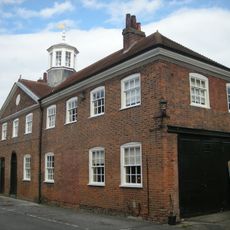
Stable Block At Langtons
2.9 km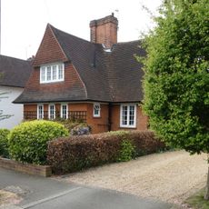
27, Meadway
459 m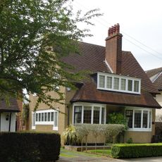
41, Heath Drive
383 m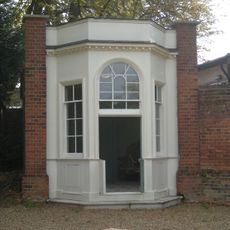
Gazebo At Langtons
3 km
The Stocks And Whipping Post
3.1 km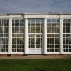
Orangery At Langtons
2.9 km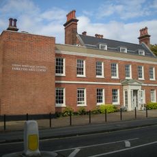
Fairykytes (Havering Art Centre)
3 km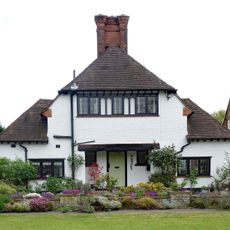
16, Meadway
482 m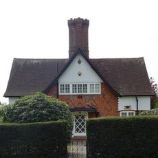
43, Heath Drive
412 mAvis
Vous avez visité ce lieu ? Touchez les étoiles pour le noter et partager votre expérience ou vos photos avec la communauté ! Essayez maintenant ! Vous pouvez annuler à tout moment.
Trouvez des trésors cachés à chaque coin de rue !
Des petits cafés pittoresques aux points de vue planqués, fuyez la foule et dénichez les lieux qui vous ressemblent vraiment. Notre app vous facilite la vie : recherche vocale, filtres malins, itinéraires optimisés et bons plans partagés par des voyageurs du monde entier. Téléchargez vite pour vivre l'aventure en version mobile !

Une approche inédite de la découverte touristique❞
— Le Figaro
Tous les lieux qui valent la peine d'être explorés❞
— France Info
Une excursion sur mesure en quelques clics❞
— 20 Minutes