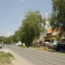
Podrinje, settlement in the Municipality of Markušica, Vukovar-Srijem County, Croatia
Emplacement : Markušica
Emplacement : Vukovar-Srijem County
Coordonnées GPS : 45.39200,18.69100
Dernière mise à jour : 15 octobre 2025 à 22:30
Tenja
12.9 km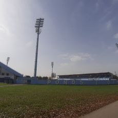
Stade HNK Cibalia
14.6 km
Bobota
13.3 km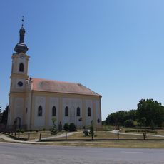
Laslovo
2.6 km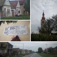
Pačetin
12.6 km
Church of Pentecost
14.7 km
Ćelije
10.3 km
Gaboš
5.7 km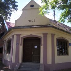
Ostrovo
2.4 km
Antin
4.8 km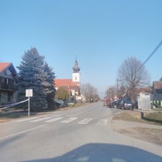
Korođ
4.5 km
Mlaka Antinska
6.3 km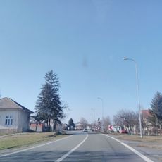
Klisa
14.5 km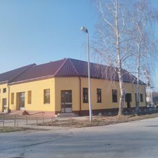
Palača, Šodolovci
3.1 km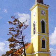
Ivanovac
10.7 km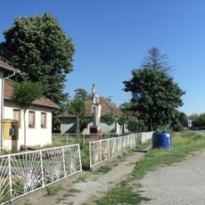
Ada
2.2 km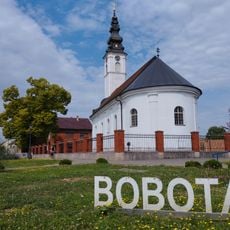
Church of St. George
15.3 km
Karadžićevo
6.4 km
Vrbica, Semeljci
14.2 km
Church of Pentecost
6.7 km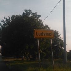
Ludvinci
10.5 km
Church of Saints Eusebius and Polion
14.5 km
Church of St. Nicholas
12.6 km
Silaš
7.2 km
Church of the Nativity of the Virgin Mary
14 km
Church of the Nativity of Saint John the Baptist
9.7 km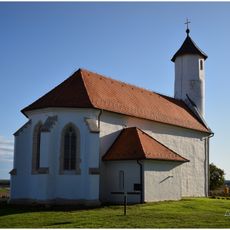
Novi Mikanovci
13.8 km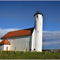
St. Bartholomew's Church in Novi Mikanovci
14.3 kmAvis
Vous avez visité ce lieu ? Touchez les étoiles pour le noter et partager votre expérience ou vos photos avec la communauté ! Essayez maintenant ! Vous pouvez annuler à tout moment.
Trouvez des trésors cachés à chaque coin de rue !
Des petits cafés pittoresques aux points de vue planqués, fuyez la foule et dénichez les lieux qui vous ressemblent vraiment. Notre app vous facilite la vie : recherche vocale, filtres malins, itinéraires optimisés et bons plans partagés par des voyageurs du monde entier. Téléchargez vite pour vivre l'aventure en version mobile !

Une approche inédite de la découverte touristique❞
— Le Figaro
Tous les lieux qui valent la peine d'être explorés❞
— France Info
Une excursion sur mesure en quelques clics❞
— 20 Minutes