
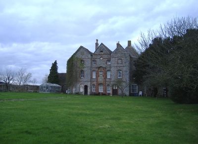
Oxwick Farmhouse, farmhouse in Wickwar, South Gloucestershire, England, UK
Emplacement : Wickwar
Coordonnées GPS : 51.57130,-2.40269
Dernière mise à jour : 11 mars 2025 à 14:56
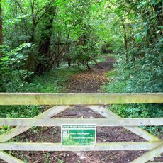
Lower Woods
2.7 km
Town Hall
3.7 km
Parish Church of the Holy Trinity
3 km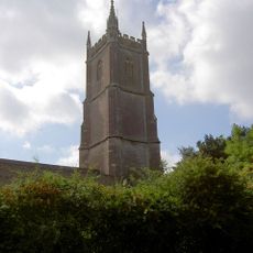
Parish Church of St John the Baptist
3.6 km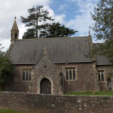
Church of the Holy Trinity
3.5 km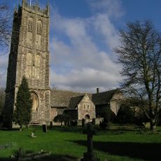
Parish Church of St Mary the Virgin
3.2 km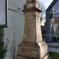
Bust of Andrew Foxwell
3.8 km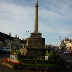
War Memorial and Remains of Town Cross
3.7 km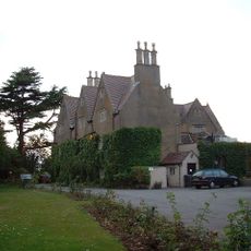
Rangeworthy Court
3.5 km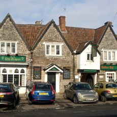
The Grapes Hotel
3.7 km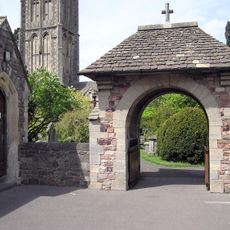
War Memorial Lych Gate
3.2 km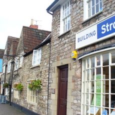
Royal Oak Public House
3.8 km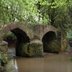
Sturt Bridge, Wickwar
2.4 km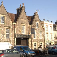
The George Hotel
3.7 km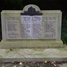
War Memorial and Grave Marker, Church of St Mary's Churchyard
3.2 km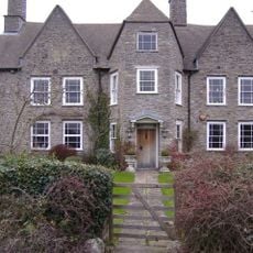
Frith Farmhouse,and Bakehouse At South East
1.5 km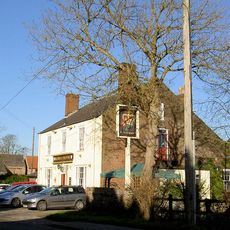
Rose And Crown
3.3 km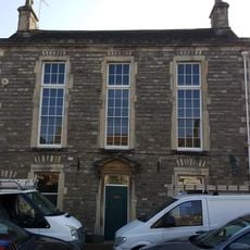
Chipping Sodbury Library
3.8 km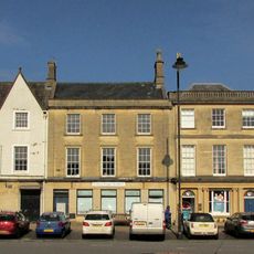
75, Broad Street
3.7 km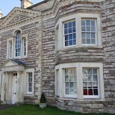
Rounceval House And Boundary Walls To Road
3.7 km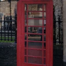
K6 Telephone Kiosk Outside Library
3.8 km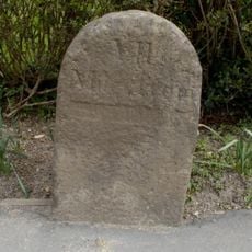
Milestone At National Grid Reference St 6904 8704
3.3 km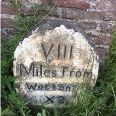
Milestones At North East Corner Of Garden Wall Circa 30 Metres East Of Laurel House
3.1 km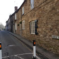
1, 2, 3 And 4, Horseshoe Lane
3.7 km
2, High Street
3.7 km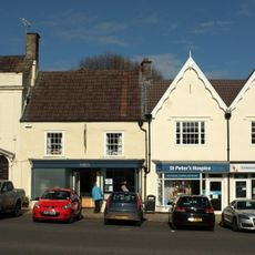
21, High Street
3.7 km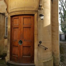
Bank House
3.7 km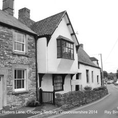
Tudor House
3.7 kmVous avez visité ce lieu ? Touchez les étoiles pour le noter et partager votre expérience ou vos photos avec la communauté ! Essayez maintenant ! Vous pouvez annuler à tout moment.
Trouvez des trésors cachés à chaque coin de rue !
Des petits cafés pittoresques aux points de vue planqués, fuyez la foule et dénichez les lieux qui vous ressemblent vraiment. Notre app vous facilite la vie : recherche vocale, filtres malins, itinéraires optimisés et bons plans partagés par des voyageurs du monde entier. Téléchargez vite pour vivre l'aventure en version mobile !

Une approche inédite de la découverte touristique❞
— Le Figaro
Tous les lieux qui valent la peine d'être explorés❞
— France Info
Une excursion sur mesure en quelques clics❞
— 20 Minutes