
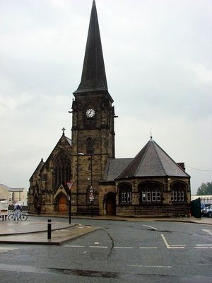
Christ Church, church in Shieldfield, Newcastle upon Tyne, UK
Emplacement : Newcastle upon Tyne
Coordonnées GPS : 54.97540,-1.60253
Dernière mise à jour : 21 mars 2025 à 04:08
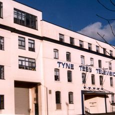
Television Centre, Newcastle upon Tyne
459 m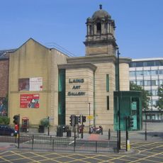
Laing Art Gallery
416 m
Blue Carpet
433 m
The Biscuit Factory
341 m
Newcastle City Library
497 m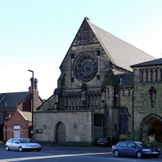
Church of St Dominic
323 m
Army Riding School
511 m
Burt Hall
495 m
Church of the Divine Unity and Durant Hall
303 m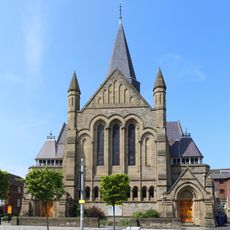
Church of St James with Hall, Sunday School and House Attached
475 m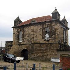
Sallyport Or Wall Knoll Tower
461 m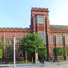
Sutherland Building
459 m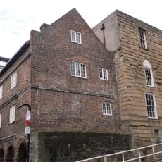
Austin Friary Tower Attached To The John George Joicey Museum
506 m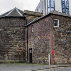
Plummer Tower
389 m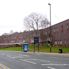
Salvation Army Men's Palace
426 m
Careers Centre
508 m
Plummer House
422 m
Mea House
360 m
Industrial Workers' Dwellings
406 m
The Keelmen's Hospital
423 m
Gibson Street Baths
296 m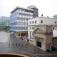
Tiffany's Club (west Part)
377 m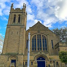
Trinity Building
415 m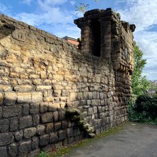
Newcastle upon Tyne town defences: section of curtain wall including Plummer Tower and a 17th century bastion
388 m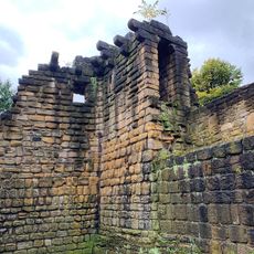
Newcastle upon Tyne town defences: section of curtain wall containing Corner Tower
507 m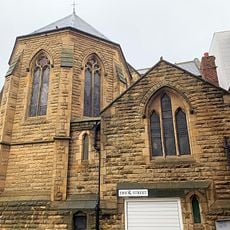
St Andrews Roman Catholic Church And Attached Presbytery
504 m
Broadcasting House
411 m
Newcastle upon Tyne town defences: section of curtain wall including Sallyport or Wall Knoll Tower
462 mVous avez visité ce lieu ? Touchez les étoiles pour le noter et partager votre expérience ou vos photos avec la communauté ! Essayez maintenant ! Vous pouvez annuler à tout moment.
Trouvez des trésors cachés à chaque coin de rue !
Des petits cafés pittoresques aux points de vue planqués, fuyez la foule et dénichez les lieux qui vous ressemblent vraiment. Notre app vous facilite la vie : recherche vocale, filtres malins, itinéraires optimisés et bons plans partagés par des voyageurs du monde entier. Téléchargez vite pour vivre l'aventure en version mobile !

Une approche inédite de la découverte touristique❞
— Le Figaro
Tous les lieux qui valent la peine d'être explorés❞
— France Info
Une excursion sur mesure en quelques clics❞
— 20 Minutes