
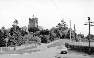
Parish Church of St Andrew, église britannique
Emplacement : Helions Bumpstead
Coordonnées GPS : 52.04880,0.40676
Dernière mise à jour : 3 mars 2025 à 00:11
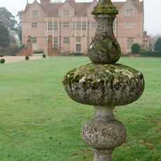
Moyns Park
4.4 km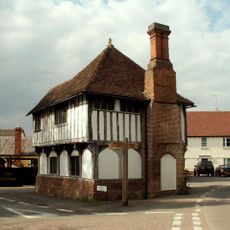
The Moot Hall
2.9 km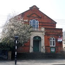
Corn Exchange
4.5 km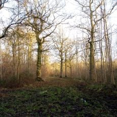
Langley Wood
4.5 km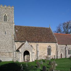
Church of All Saints
2.7 km
Church of St Mary
4.3 km
Parish Church of St Mary the Virgin
4.5 km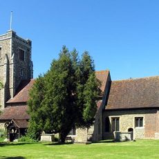
Church of St Andrew
4 km
Old Independent Church
4.2 km
Parish Church of St Mary the Virgin
2.8 km
Rose And Crown Inn
4.1 km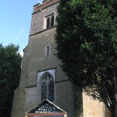
Church of St Mary
4.1 km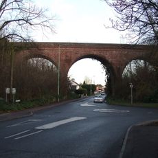
The Sturmer Arches
4.2 km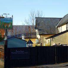
The Fox And Hounds Public House
2.9 km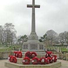
Haverhill War Memorial
4.4 km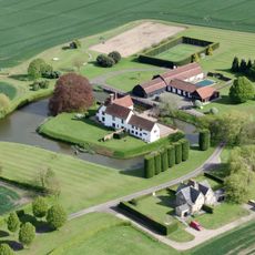
Bridge Approximately 10 Metres South Of Latchleys Farmhouse
2.9 km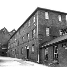
Chauntry Clothing Mills
4.3 km
Carters Farmhouse
4.7 km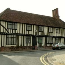
Anne Of Cleves House
4.2 km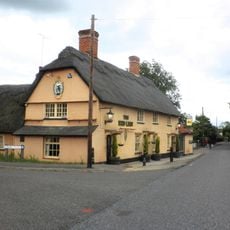
The Red Lion Public House
5 km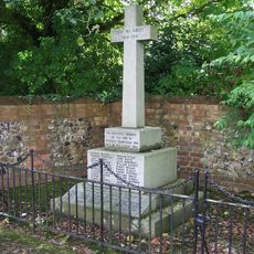
Steeple Bumpstead War Memorial
2.9 km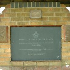
RAF Castle Camps WWII Memorial
1.9 km
Latchleys Farmhouse
2.9 km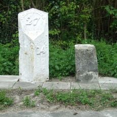
Milestone and milepost standing on the south side of Rowley Hill (A1017), around 60m south-east of its junction with Church Walk
4.8 km
Little Bulls Farmhouse
2.1 km
Mill Green Farmhouse
4.6 km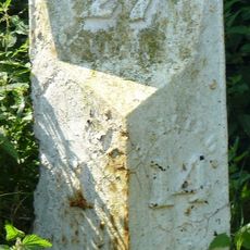
Milestone, Rowley Hill, W of jct with Church Croft
4.8 km
Milepost, Rowley Hill, W of jct with Church Croft
4.8 kmVous avez visité ce lieu ? Touchez les étoiles pour le noter et partager votre expérience ou vos photos avec la communauté ! Essayez maintenant ! Vous pouvez annuler à tout moment.
Trouvez des trésors cachés à chaque coin de rue !
Des petits cafés pittoresques aux points de vue planqués, fuyez la foule et dénichez les lieux qui vous ressemblent vraiment. Notre app vous facilite la vie : recherche vocale, filtres malins, itinéraires optimisés et bons plans partagés par des voyageurs du monde entier. Téléchargez vite pour vivre l'aventure en version mobile !

Une approche inédite de la découverte touristique❞
— Le Figaro
Tous les lieux qui valent la peine d'être explorés❞
— France Info
Une excursion sur mesure en quelques clics❞
— 20 Minutes