
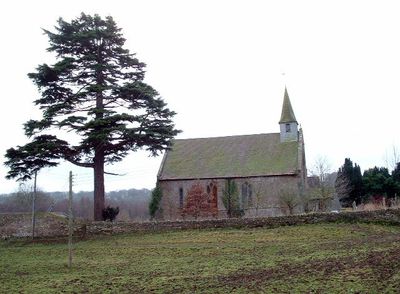
Former Church of St John the Baptist, église britannique
Emplacement : Aconbury
Coordonnées GPS : 51.99800,-2.70525
Dernière mise à jour : 5 mars 2025 à 22:13
Dinedor Camp
2.9 km
Aconbury Camp
1.4 km
Church of St David
4.2 km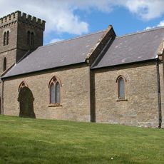
Church of St Mary
2.4 km
Church of St Peter
3.6 km
Church of Ss Mary and Thomas A Becket
3.2 km
Church of St Andrew
3.6 km
Rotherwas Women
4.6 km
Church of St Michael
3.1 km
Church of St David
2.2 km
Church of St Mary
2.4 km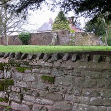
Bullingham Old Church
3.7 km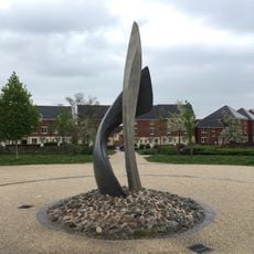
SAS memorial sculpture
4.6 km
Kings Thorn Dragon
2 km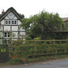
The Thatch
4.1 km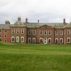
Holme Lacy House
4 km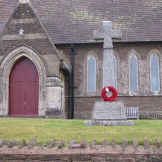
Bullinghope War Memorial
3.6 km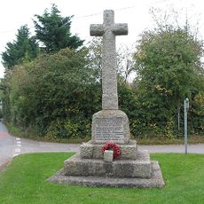
Much Dewchurch War Memorial
4.3 km
Milestone At Ngr So 512298
3.7 km
Churchyard cross in St David's churchyard
4.2 km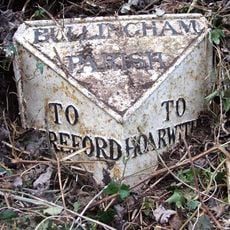
Milepost, S of Lower Bullingham
3.9 km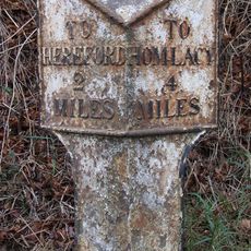
Milepost, W of Industrial estate; 200m from railway bridge
4.7 km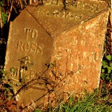
Milepost, SE Wormelow Tump
4.3 km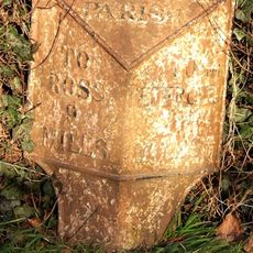
Milepost, Church View
4.1 km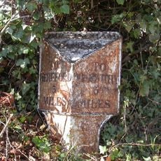
Milepost, Bullingham, by LH entrance to Fairbrook House
2.3 km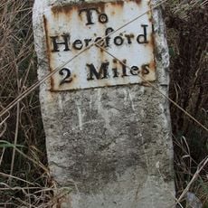
Milestone, Redhill Bridge, Ross Road
3.7 km
Milestone, Portway; N of village
2.7 km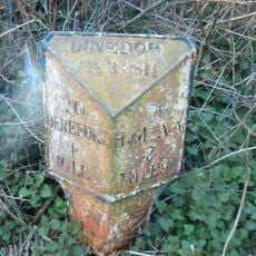
Milepost, Barry's Cross
3.8 kmVous avez visité ce lieu ? Touchez les étoiles pour le noter et partager votre expérience ou vos photos avec la communauté ! Essayez maintenant ! Vous pouvez annuler à tout moment.
Trouvez des trésors cachés à chaque coin de rue !
Des petits cafés pittoresques aux points de vue planqués, fuyez la foule et dénichez les lieux qui vous ressemblent vraiment. Notre app vous facilite la vie : recherche vocale, filtres malins, itinéraires optimisés et bons plans partagés par des voyageurs du monde entier. Téléchargez vite pour vivre l'aventure en version mobile !

Une approche inédite de la découverte touristique❞
— Le Figaro
Tous les lieux qui valent la peine d'être explorés❞
— France Info
Une excursion sur mesure en quelques clics❞
— 20 Minutes