
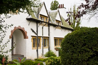
The Homestead, architectural structure in Frinton and Walton, Tendring, England, UK
Emplacement : Frinton and Walton
Coordonnées GPS : 51.82850,1.24001
Dernière mise à jour : 8 mars 2025 à 11:06

Hamford Water
6.1 km
Naze Tower
5.2 km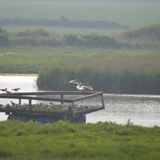
Holland Haven Marshes
1.9 km
Great Holland Pits
3 km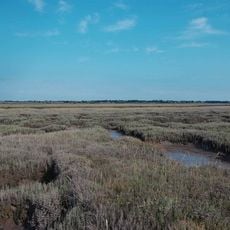
Skipper's Island
5 km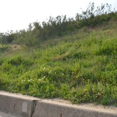
Holland-on-Sea Cliff
3.6 km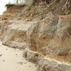
The Naze SSSI
5.1 km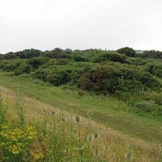
John Weston Nature Reserve
6 km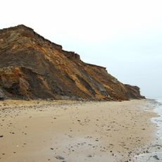
The Naze Nature Reserve
5.5 km
Pickers Ditch Meadow
5.9 km
Church of St John the Baptist
6.3 km
Church of St Michael
3 km
Parish Church of St Michael
6.1 km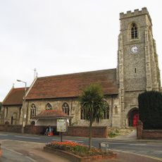
Church of All Saints
2.9 km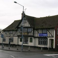
The Ship Inn, Clacton
6.4 km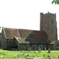
Church of All Saints
1.4 km
Emmanuel Church, Walton
3 km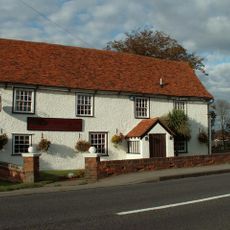
The Oakwood Inn
4.1 km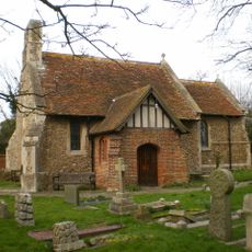
Church of St Mary
374 m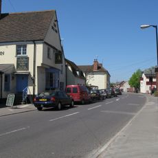
The Bell Hotel
6.1 km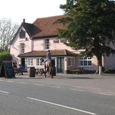
The Red Lion Public House
3.1 km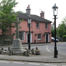
Thorpe-le-Soken War Memorial
5.9 km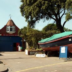
Walton Maritime Museum
4 km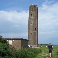
Naze Tower Museum
5.2 km
The Portobello Hotel, Walton-on-he-Naze
3.1 km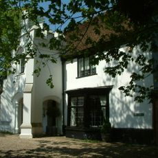
The Abbey
6 km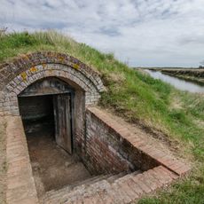
Beaumont Quay, Hamford Water: a 19th century quay and lime kiln
6.4 km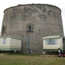
Martello Tower K
3.1 kmVous avez visité ce lieu ? Touchez les étoiles pour le noter et partager votre expérience ou vos photos avec la communauté ! Essayez maintenant ! Vous pouvez annuler à tout moment.
Trouvez des trésors cachés à chaque coin de rue !
Des petits cafés pittoresques aux points de vue planqués, fuyez la foule et dénichez les lieux qui vous ressemblent vraiment. Notre app vous facilite la vie : recherche vocale, filtres malins, itinéraires optimisés et bons plans partagés par des voyageurs du monde entier. Téléchargez vite pour vivre l'aventure en version mobile !

Une approche inédite de la découverte touristique❞
— Le Figaro
Tous les lieux qui valent la peine d'être explorés❞
— France Info
Une excursion sur mesure en quelques clics❞
— 20 Minutes