
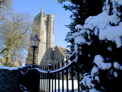
Parish Church of St Mary, église britannique
Emplacement : Marshfield
Création : 12e siècle
Coordonnées GPS : 51.46160,-2.31497
Dernière mise à jour : 11 mars 2025 à 23:12
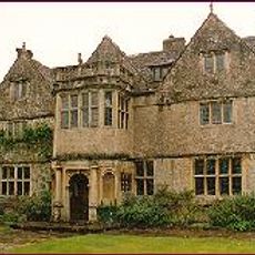
St Catherine's Court
3.5 km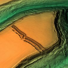
Bury Camp
3.6 km
Church of St Catherine, St Catherine
3.5 km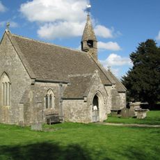
Church of St James
2.8 km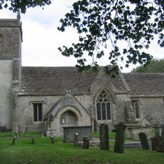
Church of St James
3.8 km
Church of Holy Trinity
3.2 km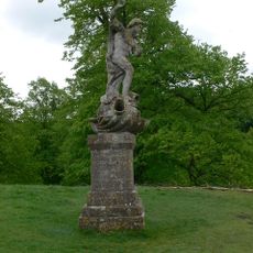
Statue of Neptune About 320 Metres East of Dyrham House
4.3 km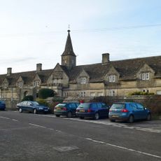
Crispe Almshouses And Chapel
830 m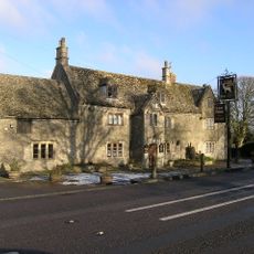
The White Hart
3.3 km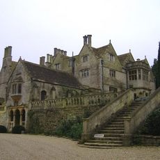
Retaining Wall And Central Flight Of Steps,immediately To North East Of St Catherine's Court
3.5 km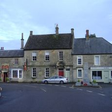
Lord Nelson Public House, And The North Wing
130 m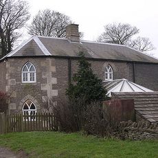
Oldfield Gatehouse
3.7 km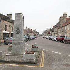
Marshfield War Memorial
136 m
Dunsdown House
4 km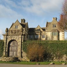
The Manor House
3.4 km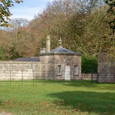
Lodge, Walls, Gate Piers And Railings To Dyrham Park On Bath Road
3.9 km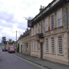
The Catherine Wheel
276 m
Marshfield House
127 m
Three Shire Stones
3.9 km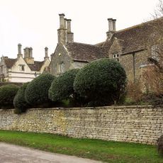
The Old Rectory
3.3 km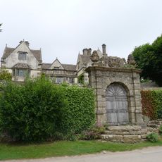
Garden Walls And Gateways About 15 Metres South Of The Manor House
3.4 km
Gatepier At Ngr St 7699 7266
1.6 km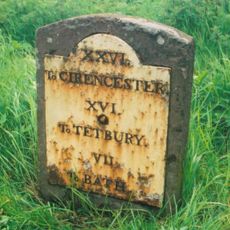
Milestone At Ngr St 7468 7457
3.6 km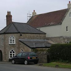
Toll House
983 m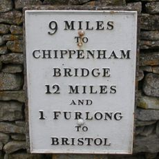
Milestone At Ngr St 7823 7381
135 m
Milestone, The Folly; opp. pub car park
3.3 km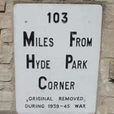
Milestone, High Street, by No. 2,
232 m
Milestone, Rushmead Farm, Tormarton Road
1.7 kmVous avez visité ce lieu ? Touchez les étoiles pour le noter et partager votre expérience ou vos photos avec la communauté ! Essayez maintenant ! Vous pouvez annuler à tout moment.
Trouvez des trésors cachés à chaque coin de rue !
Des petits cafés pittoresques aux points de vue planqués, fuyez la foule et dénichez les lieux qui vous ressemblent vraiment. Notre app vous facilite la vie : recherche vocale, filtres malins, itinéraires optimisés et bons plans partagés par des voyageurs du monde entier. Téléchargez vite pour vivre l'aventure en version mobile !

Une approche inédite de la découverte touristique❞
— Le Figaro
Tous les lieux qui valent la peine d'être explorés❞
— France Info
Une excursion sur mesure en quelques clics❞
— 20 Minutes