
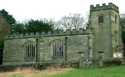
St Saviour's Church, Foremark, église britannique
Emplacement : Foremark
Création : 1662
Coordonnées GPS : 52.83480,-1.51197
Dernière mise à jour : 4 avril 2025 à 15:34
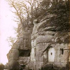
Anchor Church
1.2 km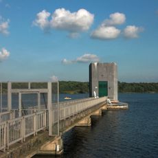
Foremark Reservoir
2.3 km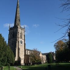
St. Wystan's Church, Repton
2.8 km
Foremarke Hall
291 m
Heath Wood
1.7 km
Repton Priory
2.7 km
Barrow Camera
3.2 km
Church of St Wilfrid
3 km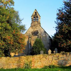
Church of St Michael
3.8 km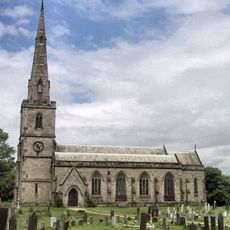
St George's Church, Ticknall
3.2 km
Church of St Andrew
2.1 km
The Chapel, Repton School
2.8 km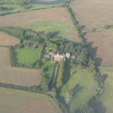
Ingleby Toft
2.5 km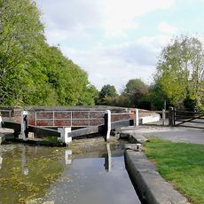
Stenson Lock And Attached Bridge To East
3.5 km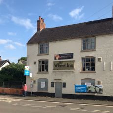
The Wheel Public House
3.5 km
Post Office
2.6 km
War Memorial at Repton School
2.7 km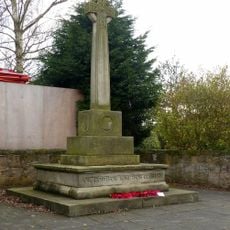
Barrow upon Trent War Memorial at Twyford Road, Barrow-upon-Trent
3.1 km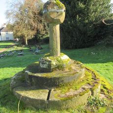
Churchyard cross 55 yards south of the Church of St George
3.3 km
Canal Bridge At Os 321300
3.7 km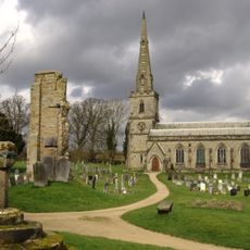
Medieval church and cross 45m south of St George's Church
3.2 km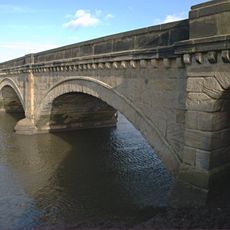
Willington Bridge
3.6 km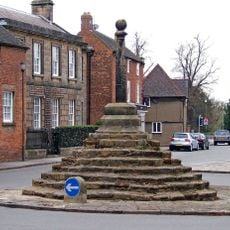
Market Cross
2.7 km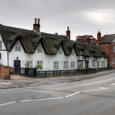
The Thatched House
2.8 km
1, Willington Road
2.7 km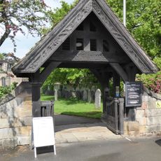
Lychgate and Churchyard Wall at St Wystans Church
2.8 km
Priory Gateway, Precinct Walls, The Tithe Barn And The Lodge, Repton School
2.7 km
Repton War Memorial
2.7 kmVous avez visité ce lieu ? Touchez les étoiles pour le noter et partager votre expérience ou vos photos avec la communauté ! Essayez maintenant ! Vous pouvez annuler à tout moment.
Trouvez des trésors cachés à chaque coin de rue !
Des petits cafés pittoresques aux points de vue planqués, fuyez la foule et dénichez les lieux qui vous ressemblent vraiment. Notre app vous facilite la vie : recherche vocale, filtres malins, itinéraires optimisés et bons plans partagés par des voyageurs du monde entier. Téléchargez vite pour vivre l'aventure en version mobile !

Une approche inédite de la découverte touristique❞
— Le Figaro
Tous les lieux qui valent la peine d'être explorés❞
— France Info
Une excursion sur mesure en quelques clics❞
— 20 Minutes