
Yoxall, village britannique
Emplacement : East Staffordshire
Coordonnées GPS : 52.76600,-1.79300
Dernière mise à jour : 30 avril 2025 à 07:44
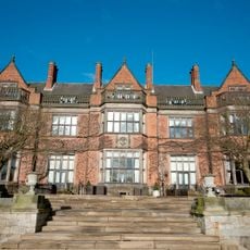
Hoar Cross Hall
4.7 km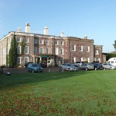
Wychnor Hall
2.9 km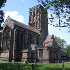
Church of the Holy Angels, Hoar Cross
4.6 km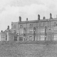
Byrkley Lodge
5.4 km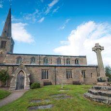
Church of St Michael and All Angels, Hamstall Ridware
3.5 km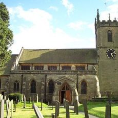
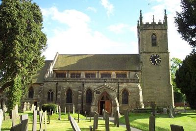
Church of St Peter
329 m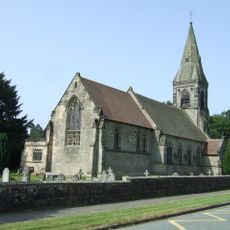
Church of All Saints
5.8 km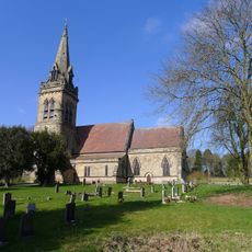
Church of St Mary
5 km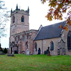
Church of All Saints
2.5 km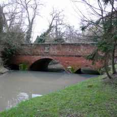
Bridge Over River Swarbourn At West End Of Town Hill
201 m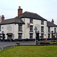
Golden Cup Inn
371 m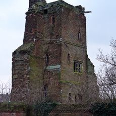
Tower and attached walls at Hamstall Hall
3.6 km
Milepost
2.3 km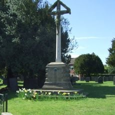
Arden Family War Memorial
378 m
Pear Tree Farmhouse
604 m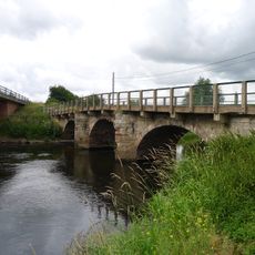
Yoxall Bridge
1.4 km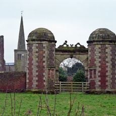
Gatehouse and attached courtyard walls at Hamstall Hall
3.6 km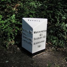
Milepost Near Slade Covert
3.9 km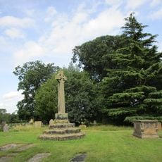
Churchyard Cross Approximately 10 Yards South West Of South Aisle Of Church Of St Michael And All Angels
3.5 km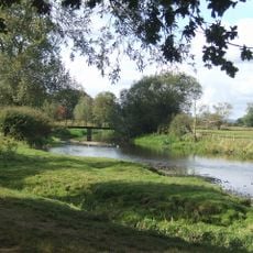
King's Bromley footbridge
2.5 km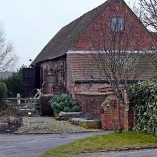
Barn And Attached Wall Approximately 100 Yards West Of Hamstall Hall
3.7 km
Yoxall Bridge
1.4 km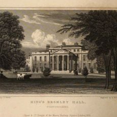
Bromley Hall
2.9 km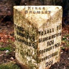
Milepost, by PD Nurseries, between Yoxall Bridge & Kings Bromley
2 km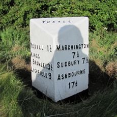
Milepost, near Woodlane Crossroads
2.3 km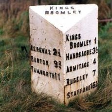
Milepost, between Eastfields & Lupin Farm, E of Kings Bromley
2.2 km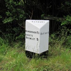
Milepost, by Needwood Airfield
6.1 km
Milepost, Petrol filling station, Kings Bromley
2.7 kmVous avez visité ce lieu ? Touchez les étoiles pour le noter et partager votre expérience ou vos photos avec la communauté ! Essayez maintenant ! Vous pouvez annuler à tout moment.
Trouvez des trésors cachés à chaque coin de rue !
Des petits cafés pittoresques aux points de vue planqués, fuyez la foule et dénichez les lieux qui vous ressemblent vraiment. Notre app vous facilite la vie : recherche vocale, filtres malins, itinéraires optimisés et bons plans partagés par des voyageurs du monde entier. Téléchargez vite pour vivre l'aventure en version mobile !

Une approche inédite de la découverte touristique❞
— Le Figaro
Tous les lieux qui valent la peine d'être explorés❞
— France Info
Une excursion sur mesure en quelques clics❞
— 20 Minutes