
Ide, village britannique
Emplacement : Teignbridge
Coordonnées GPS : 50.70000,-3.56667
Dernière mise à jour : 3 mars 2025 à 09:15
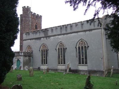
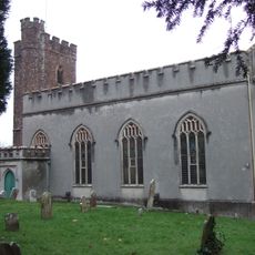
Parish Church of St. Ida
394 m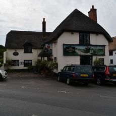
The Huntsman Inn
739 m
Cowick Barton
1.8 km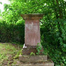
Lester Pedestal Memorial About 19M South West Of Tower Of The Church Of St. Ida
371 m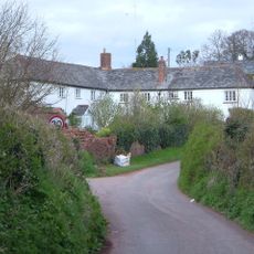
Pengelly's Farmhouse
1.9 km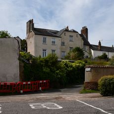
The Villa
2 km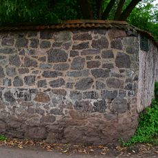
Garden Wall Of Underwood
1.2 km
Underwood Cottage
1.2 km
The Briars
1.7 km
2, 3 And 4, The College
763 m
5 And 6, The College
749 m
Little Bowhay, Shown On Ordnance Survey Map As Bowhay Cottage
1.7 km
9, High Street
709 m
Ide School Including Iron Railings And Gates
676 m
7 And 8, The College
742 m
Ide House
1.1 km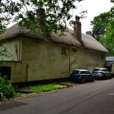
Holmbush Cottage
1.1 km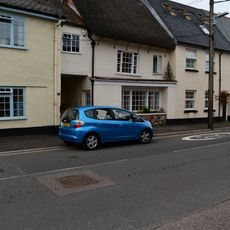
16, Fore Street
807 m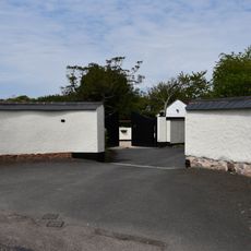
Entrance Gates And Wall Of No 49
1.9 km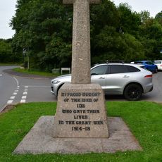
Ide War Memorial
881 m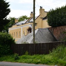
Manor House
1.9 km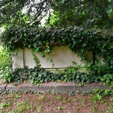
Browning Chest Tomb About 8M East Of The Chancel Of The Church Of St. Ida
410 m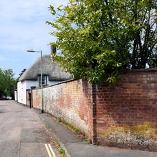
Wall of No 47
1.9 km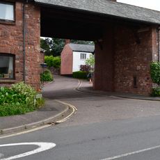
Drake's Farm And St Ida's
784 m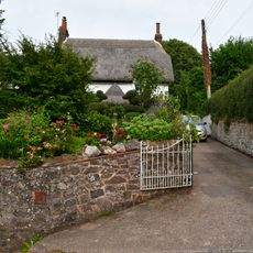
Poplar Cottage
698 m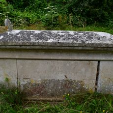
Dudley Chest Tomb About 28M South East Of South East Corner Of Nave Of Church Of St. Ida
420 m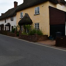
12, High Street
715 m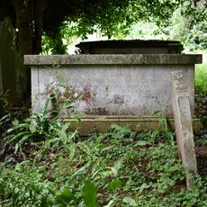
Toll Chest Tomb About 14M South West Of East Gate To Churchyard
425 mVous avez visité ce lieu ? Touchez les étoiles pour le noter et partager votre expérience ou vos photos avec la communauté ! Essayez maintenant ! Vous pouvez annuler à tout moment.
Trouvez des trésors cachés à chaque coin de rue !
Des petits cafés pittoresques aux points de vue planqués, fuyez la foule et dénichez les lieux qui vous ressemblent vraiment. Notre app vous facilite la vie : recherche vocale, filtres malins, itinéraires optimisés et bons plans partagés par des voyageurs du monde entier. Téléchargez vite pour vivre l'aventure en version mobile !

Une approche inédite de la découverte touristique❞
— Le Figaro
Tous les lieux qui valent la peine d'être explorés❞
— France Info
Une excursion sur mesure en quelques clics❞
— 20 Minutes