
Stalbridge, localité britannique
Emplacement : Dorset
Site web : http://stalbridgetowncouncil.gov.uk
Coordonnées GPS : 50.96000,-2.38000
Dernière mise à jour : 8 mars 2025 à 00:00

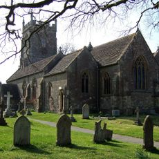
Church of St Nicholas
2.2 km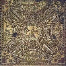
Hinton St Mary villa
5.4 km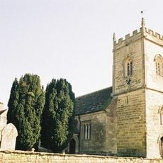
Church of St Peter
5.6 km
Parish Church of St Thomas A'Beckett
4.6 km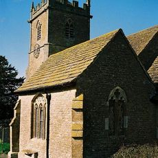
Parish Church of St Peter
3.3 km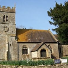
Parish Church of St Peter
3.8 km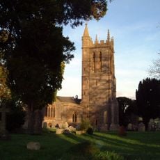
Church of St Mary
286 m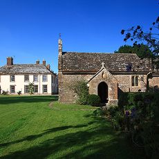
Church of St Barnabas
5.1 km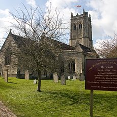
Church of St Gregory
4.8 km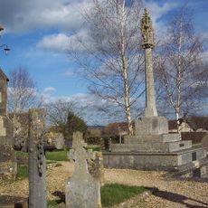
War Memorial in Marnhull Churchyard
4.8 km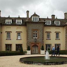
Thornhill House
3 km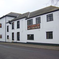
Stalbridge Arms Public House
482 m
Kings Mill Bridge
3.3 km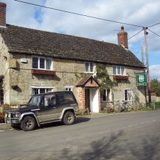
The White Horse
5.5 km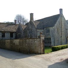
The Manor House And Attached Walls North And South
3.9 km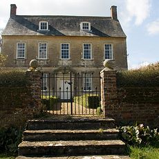
Dalton's Farmhouse Including Front Garden Walls
5.5 km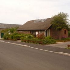
Stalbridge Library
244 m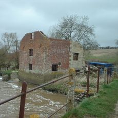
Cutt Mill
4.4 km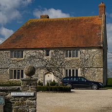
Chantry Farm
3.7 km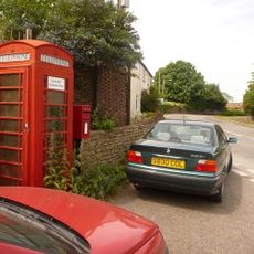
Letter Box And Wall, Immediately East Of The Warren
3.8 km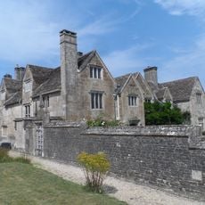
The Manor House
5.6 km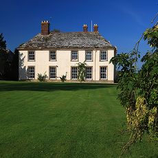
Stock Gaylard House
5 km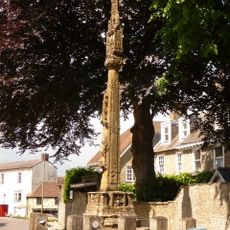
Market Cross
122 m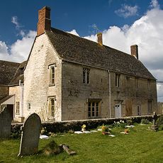
Senior's Farmhouse And Attached Barn
4.8 km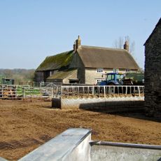
Woodbridge Farmhouse
6 km
Milestone, Bow Bridge; 2m back from road opp. Bow Bridge Cottage (tollhouse?)
3.7 km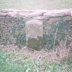
Milestone, SW of Henstridge, nr Toomer Farm
3.2 km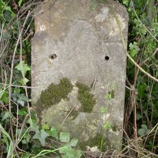
Milestone, 50m E of Bellman's Cross
2.8 kmAvis
Vous avez visité ce lieu ? Touchez les étoiles pour le noter et partager votre expérience ou vos photos avec la communauté ! Essayez maintenant ! Vous pouvez annuler à tout moment.
Trouvez des trésors cachés à chaque coin de rue !
Des petits cafés pittoresques aux points de vue planqués, fuyez la foule et dénichez les lieux qui vous ressemblent vraiment. Notre app vous facilite la vie : recherche vocale, filtres malins, itinéraires optimisés et bons plans partagés par des voyageurs du monde entier. Téléchargez vite pour vivre l'aventure en version mobile !

Une approche inédite de la découverte touristique❞
— Le Figaro
Tous les lieux qui valent la peine d'être explorés❞
— France Info
Une excursion sur mesure en quelques clics❞
— 20 Minutes