
Sedgeford, localité britannique du comté anglais de Norfolk
Emplacement : King's Lynn and West Norfolk
Site web : http://sedgeford.org.uk
Coordonnées GPS : 52.90000,0.54390
Dernière mise à jour : 8 mars 2025 à 00:40
Snettisham Hoard
3.1 km
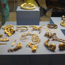
Torque de Sedgeford
408 m
Church of Saint Peter and Saint Paul
4.2 km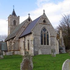
Church of St Andrew
4.1 km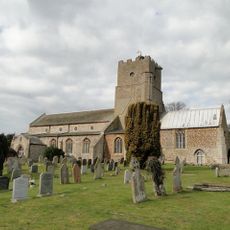
Church of St Mary the Virgin
3.3 km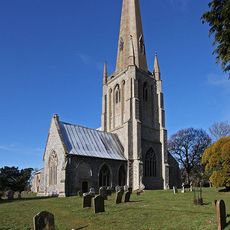
Church of St Mary, Snettisham
3.2 km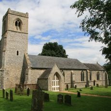
Church of All Saints
2.9 km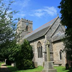
Church of St Mary the Virgin
5.3 km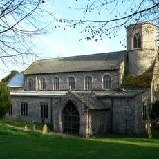
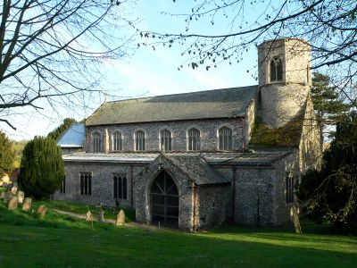
Church of St Mary
509 m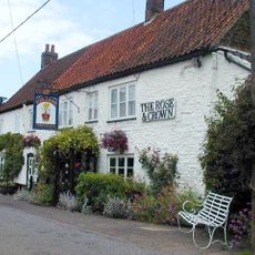
The Rose And Crown Public House
3.5 km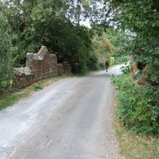
Bridge Over Loo Water On Line Of Former Heacham-Hunstanton Road.
3 km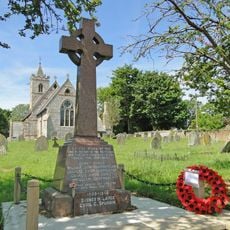
Ringstead War Memorial
4.1 km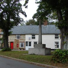
Sedgeford War Memorial
119 m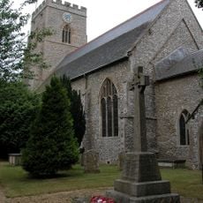
Docking War Memorial
5.3 km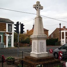
Snettisham War Memorial
3.6 km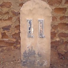
Milestone, 25yds N of Suffolk House
3.5 km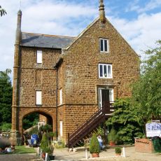
Caley Mill
2.8 km
Fring War Memorial
3.1 km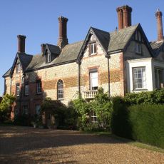
Holly Lodge
3.4 km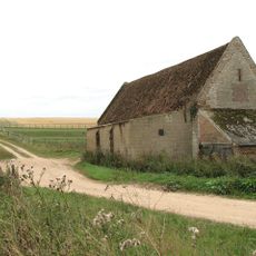
Barret Ringstead Farm Barn
4 km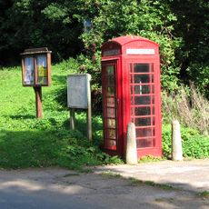
K6 Telephone Kiosk
3.1 km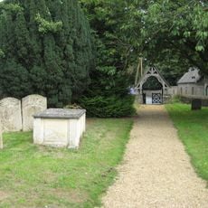
Lychgate 15 Metres South East Of Church Of St Mary The Virgin
5.3 km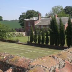
The White House
3.6 km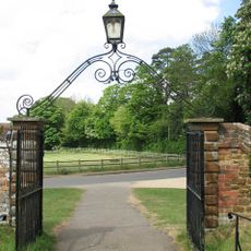
Churchyard Wall, Gate Piers Entrance Gates To West And South Of Church Of St Mary
3.2 km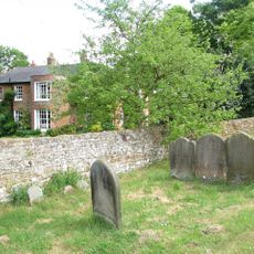
The Old Vicarage
3.2 km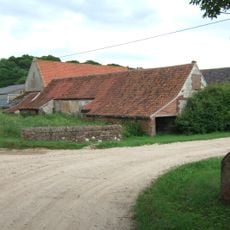
Stables To South Of Downs Farmhouse
4.1 km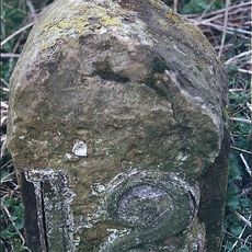
Milestone, just N of junction with Lamsey Lane
2.9 km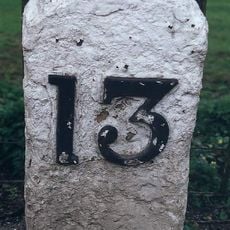
Milestone, Lynn Road, 30yds W of road leading to bridge over Heacham River
3 kmVous avez visité ce lieu ? Touchez les étoiles pour le noter et partager votre expérience ou vos photos avec la communauté ! Essayez maintenant ! Vous pouvez annuler à tout moment.
Trouvez des trésors cachés à chaque coin de rue !
Des petits cafés pittoresques aux points de vue planqués, fuyez la foule et dénichez les lieux qui vous ressemblent vraiment. Notre app vous facilite la vie : recherche vocale, filtres malins, itinéraires optimisés et bons plans partagés par des voyageurs du monde entier. Téléchargez vite pour vivre l'aventure en version mobile !

Une approche inédite de la découverte touristique❞
— Le Figaro
Tous les lieux qui valent la peine d'être explorés❞
— France Info
Une excursion sur mesure en quelques clics❞
— 20 Minutes