
Poulton, localité britannique du comté anglais de Gloucestershire
Emplacement : Cotswold
Coordonnées GPS : 51.70900,-1.85400
Dernière mise à jour : 3 mars 2025 à 08:38

Red Lion
1.3 km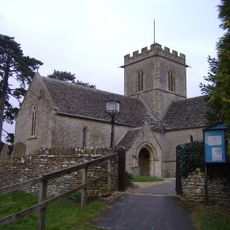
Church of St Mary the Virgin, Meysey Hampton
1.9 km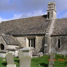
Church of St Mary
2.6 km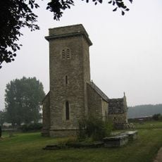
Church of St Mary
3.1 km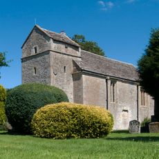
Church of St Peter
2 km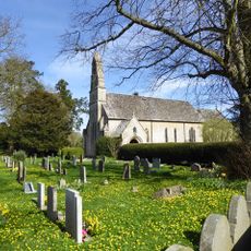
Church of St Michael and All Angels
532 m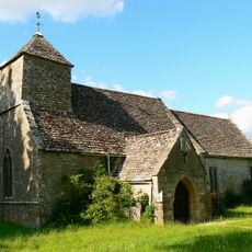
Church of St Michael
3.3 km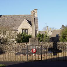
Poulton War Memorial
178 m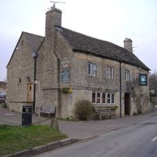
The Masons Arms
2.2 km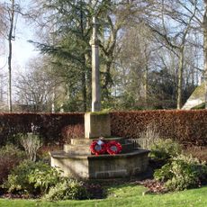
Ampney Crucis War Memorial
3.6 km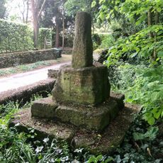
Wayside Cross at Ampney Crucis
3.6 km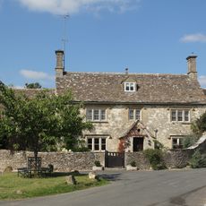
Cleeve House
2.1 km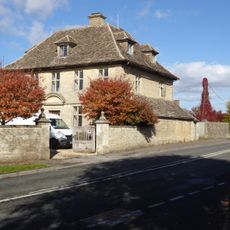
The Manor House And Gatepiers
254 m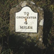
Milestone On Former Akeman Street
3.3 km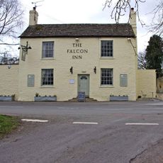
The Falcon
270 m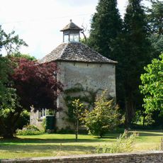
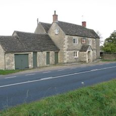
The Manor House
3.3 km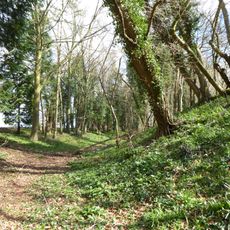
Ranbury Ring
1.2 km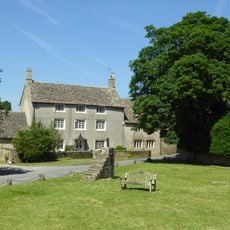
Villars Farmhouse
2.1 km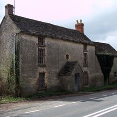
Three Magpies
2.6 km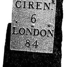
Milestone, opp. Marston Meysey Caravan Park; E of bus shelter.
1.6 km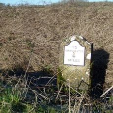
Milestone, Lower Field Farm; opp. farm
3.3 km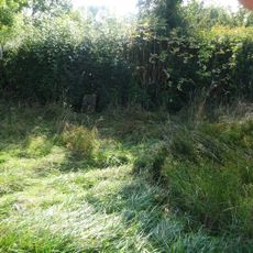
Milestone, near rt-angle bend in hedge 187 yds W of turning to Marston Hill.
3 km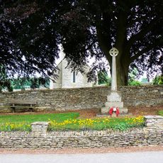
Driffield War Memorial, Gloucestershire
3.1 km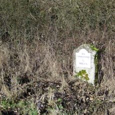
Milestone, W of Ready Token
3.1 km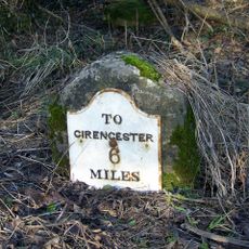
Milestone, 700m E Welsh Way crossroads
3.8 km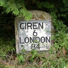
Milestone, Sunhill; W of crossroads by Sunhill Bungalow
2.1 km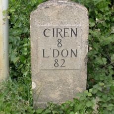
Milestone, NE Donkeywell Buildings
3.7 km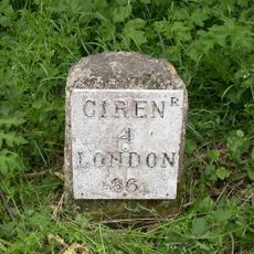
Milestone, 90m W Red Lion PH
1.4 kmVous avez visité ce lieu ? Touchez les étoiles pour le noter et partager votre expérience ou vos photos avec la communauté ! Essayez maintenant ! Vous pouvez annuler à tout moment.
Trouvez des trésors cachés à chaque coin de rue !
Des petits cafés pittoresques aux points de vue planqués, fuyez la foule et dénichez les lieux qui vous ressemblent vraiment. Notre app vous facilite la vie : recherche vocale, filtres malins, itinéraires optimisés et bons plans partagés par des voyageurs du monde entier. Téléchargez vite pour vivre l'aventure en version mobile !

Une approche inédite de la découverte touristique❞
— Le Figaro
Tous les lieux qui valent la peine d'être explorés❞
— France Info
Une excursion sur mesure en quelques clics❞
— 20 Minutes