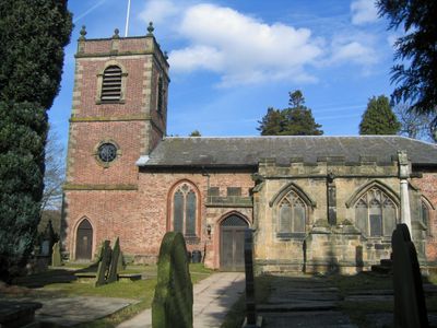
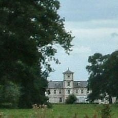
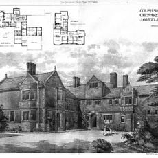
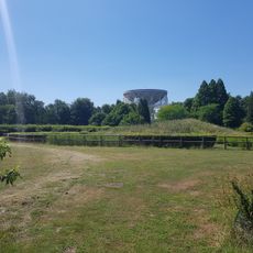
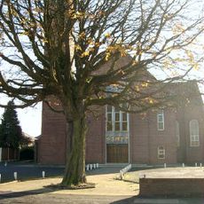
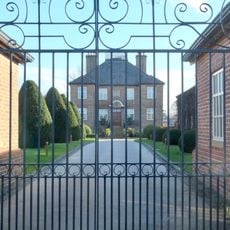
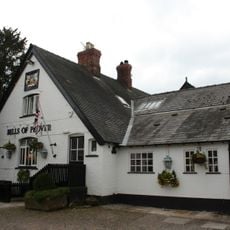
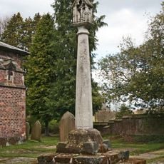
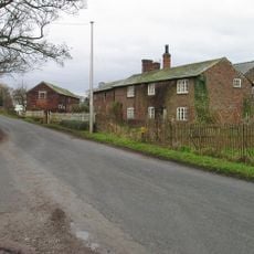
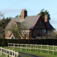
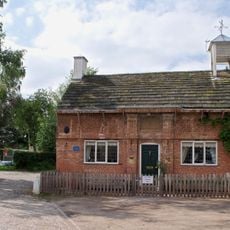
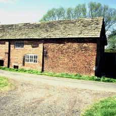
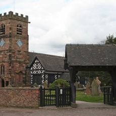
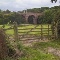
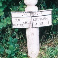
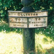
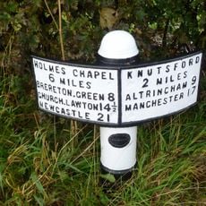
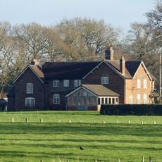
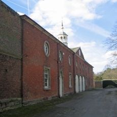
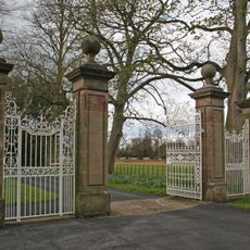
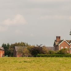
Peover Superior, civil parish in Cheshire East, UK
Emplacement : Cheshire East
Partage une frontière avec : Goostrey, Allostock, Lower Withington, Marthall
Coordonnées GPS : 53.26500,-2.34500
Dernière mise à jour : 4 mars 2025 à 15:25
Peover Hall
790 m
Toft Hall
2.7 km
Colshaw Hall
1.1 km
Jodrell Bank
3.6 km
St Oswald's Church
2.8 km
St Lawrence's Church, Over Peover
767 m
St.Oswald's Church, Padgate
2.8 km
St John the Evangelist's Church, Toft
2.7 km
Bexton Hall
3.5 km
Ollerton Hall
2.3 km
Peover Hall Stable Block
883 m
The Bells of Peover public house
2.8 km
Cross base and cross in churchyard of Church of St Lawrence
786 m
Townfield Farm House
3 km
Sundial in churchyard of Church of St Lawrence
775 m
The Old Croft
3.6 km
Winterbottom Farmhouse
3.1 km
The Old School House
2.8 km
Bate Mill (Disused Water Mill)
3.5 km
Lychgate, St Oswald's Churchyard
2.8 km
Peover Viaduct
3.3 km
Mile Post
2 km
Mile Post
2.6 km
Milepost
1.5 km
Barnshaw Hall
2.7 km
The Coach House, Peover Hall
884 m
Gatepiers and gates circa 20 yards north east of The Old Stable Block, Peover Hall
910 m
Crook Hall
2.7 kmVous avez visité ce lieu ? Touchez les étoiles pour le noter et partager votre expérience ou vos photos avec la communauté ! Essayez maintenant ! Vous pouvez annuler à tout moment.
Trouvez des trésors cachés à chaque coin de rue !
Des petits cafés pittoresques aux points de vue planqués, fuyez la foule et dénichez les lieux qui vous ressemblent vraiment. Notre app vous facilite la vie : recherche vocale, filtres malins, itinéraires optimisés et bons plans partagés par des voyageurs du monde entier. Téléchargez vite pour vivre l'aventure en version mobile !
Une approche inédite de la découverte touristique❞
— Le Figaro
Tous les lieux qui valent la peine d'être explorés❞
— France Info
Une excursion sur mesure en quelques clics❞
— 20 Minutes